THE
This is my blog for the track. The instructions are here: TRACK INSTRUCTIONS
See also:
NEW
This many people have visited this site:
![]()
![]()
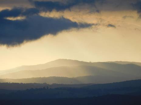
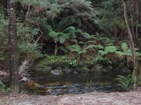
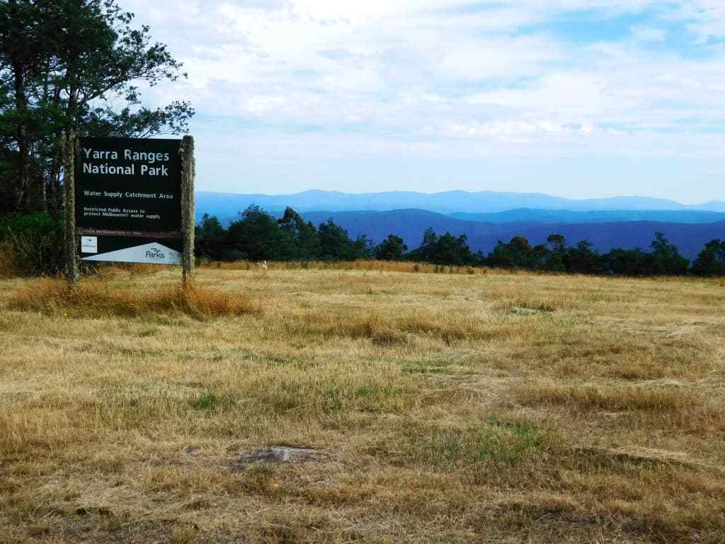
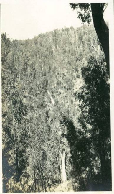
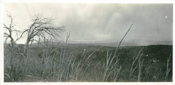
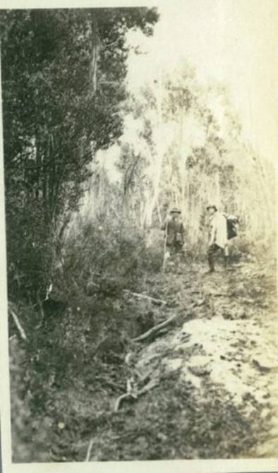
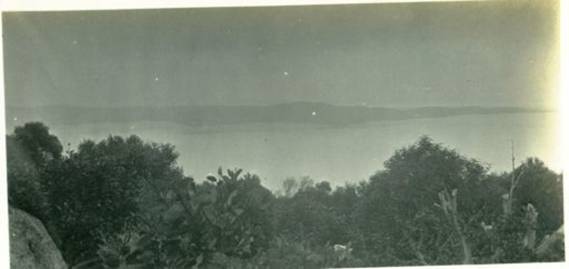
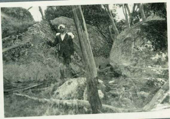
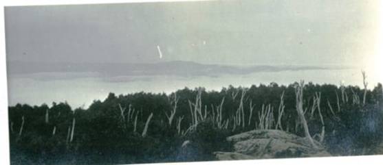
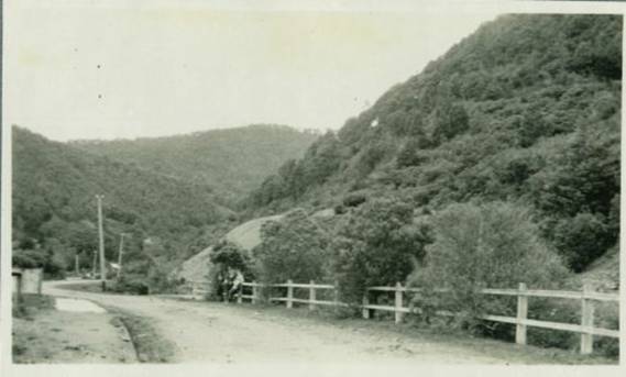
Sunset view towards the Strezeleckis from the
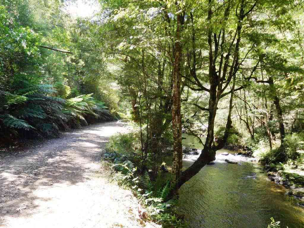
The Upper Yarra Walking Track, Australia’s oldest (& best), an approx. ten day walk (retiree speed) with numerous resupply points, plentiful water and camping spots now extending from Moe Railway Station @ 250 kilometres (@ 80 hours) up the Latrobe, Tyers & Thomson River valleys, via Yallourn North, Erica & Walhalla, across the Baw Baw Plateau, along the Upper Thomson River, past the Yarra Falls & Mt Horsefall, along the Little Ada, Ada and Yarra valleys via Warburton to Lilydale Railway Station.
Total Distance: Lilydale to Warburton 38km, Warburton to Mt Whitelaw 81.5km, Mt Whitelaw to Walhalla 43.5km, Walhalla to Moe 71 km (at least) so, @ 250 km.
DISCLAIMER: This is a
personal website. I have no authority to offer any of the contained advice, nor
will I accept any responsibility for what may happen to you if you follow it.
Notwithstanding, I have made every effort to ensure that the advice IS true and
correct. The entire route is in a high rainfall area. You should be
experienced, well-equipped bushwalkers. A fair degree of bush skill is a good
idea before undertaking such a journey, as is the inclusion of a compass, map,
satellite phone and epirb in your kit – and the suggested maps and App on your
mobile phone – there are quite a few places along the track where the NextG
phone will work (eg Mt Horsefall), but it should probably best be left in
Flight Mode unless you are accessing a map/GPS location. Remember your phone
will often SMS when there appears too be no coverage. It would be a good idea
to have spare batteries &/or the ability to recharge it. Also WATCH THE
WEATHER. Particularly on the Baw Baw Plateau dense clouds/fog, heavy rain/snow,
strong winds etc may occur – and indicate the journey ought not be taken in the
cooler months. I will develop an alternative (lower) route which is more
suitable at those times (eg along the
I am just building this site, so DO come back: Most of this page is a blog and scrapbook,
See: TRACK INSTRUCTIONS
I am progressively working on these, but they are now quite good enough for you
to complete the walk (starting from Moe – I will rewrite them from the other
direction when I have finished them – Who am I? = http://www.theultralighthiker.com/about/
). Public transport to Moe, Warburton & Lilydale. You can shorten the trip
by catching a bus to Tyers and to/from Noojee. You can buy supplies along the
way: eg at Yallourn North, Tyers, Erica, Rawson, Walhalla, Mt Baw Baw Tanjil
Bren (winter only) & Noojee. For the less intrepid there is paid
accommodation (at least) at Yallourn North, Erica, Rawson, Walhalla, Caringal,
Mushroom Rocks, Mt Baw Baw, Tanjil Bren & Noojee.
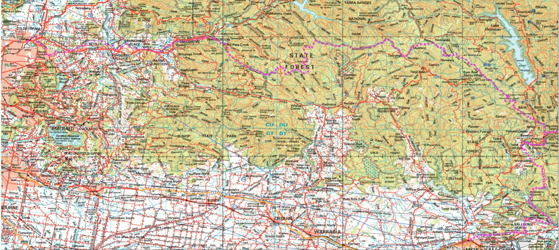
14/03/2017: Upper Yarra Track Map: Here is a map showing the whole of the (Extended)
Upper Yarra Track from Lilydale all the way to Moe, approximately 250 km and
8-10 days:
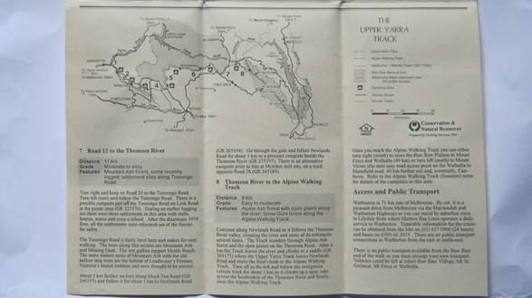
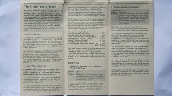
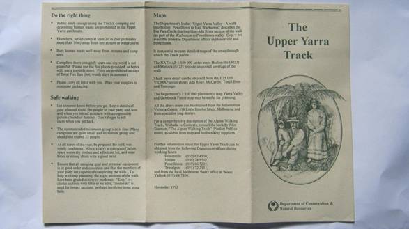
Old DSE Brochure (Courtesy Thomas Osburg)
USEFUL LINKS/DOCUMENTS:
The Baw Baws A Short History W.F. Waters
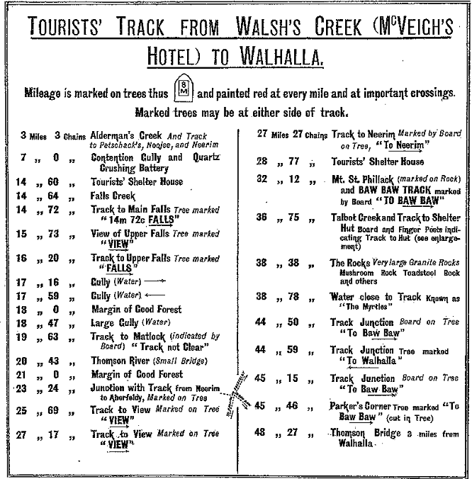
1907 Map & Track Instructions: http://nla.gov.au/nla.map-rm2301
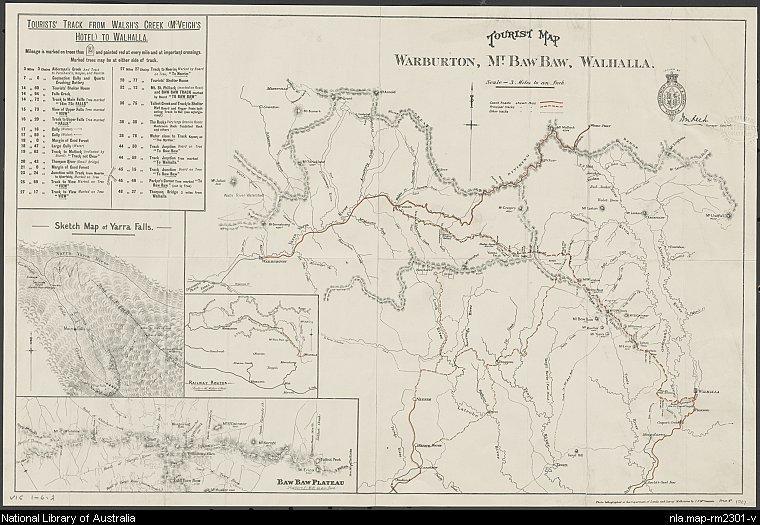
Inset Detail:

USEFUL LINKS:
Thomas
Osburg has some wonderful resources about this track and other
Baw Baw History: http://parkweb.vic.gov.au/__data/assets/pdf_file/0017/313181/22_2158.pdf
Mt Baw Baw Alpine Resort: http://mountbawbaw.com.au/
Walhalla Railway Line: http://en.wikipedia.org/wiki/Walhalla_railway_line
Lilydale-Warburton Rail Trail: http://www.experienceyarravalley.com.au/?eyv_activity=lilydale-warburton-rail-trail
Lilydale-Warburton Rail Trail Map: http://www.experienceyarravalley.com.au/wp-content/uploads/2014/09/warburton_rail_trail_map_2014.pdf
Wirilda Walking Track: http://www.bushwalkingvictoria.org.au/walks-directory/hard/wirilda-track-rawson.html
Wirilda Track: http://www.fedwalks.org.au/files/Walk_Descriptions/Walk_1_Wirilda_Track_-_July_Final.pdf
Wirilda Track: http://mbw.org.au/mbw_activities/MBW_tripnote.php?tripid=2007080301
Walhalla Area Track Descriptions: NBW Hut: http://www.fedwalks.org.au/files/Walk_Descriptions/Walk_21_NBW_Hut_-_July_Final.pdf
Moe - Yallourn Rail Trail: http://www.railtrails.org.au/trail?view=trail&id=207
Walk Into History #1: http://www.depi.vic.gov.au/__data/assets/pdf_file/0003/225705/FS0033_-_Yarra_State_forest.pdf
Walk Into History #2: http://www.experienceyarravalley.com.au/?eyv_activity=walk-into-history-big-pats-creek-to-powelltown
Noojee: http://www.visitvictoria.com/Regions/Gippsland/Destinations/Noojee
Tanjil Bren: http://en.wikipedia.org/wiki/Tanjil_Bren
O’Shannessy Aqueduct Walking Trail: http://parkweb.vic.gov.au/explore/parks/yarra-ranges-national-park/things-to-do/oshannessy-aqueduct-trail
Walks around Walhalla: http://www.fedwalks.org.au/federation-2014/walks-program.html Includes Maps
Warburton Walks: http://www.warburtoninfo.com/Around-Warburton.html
Warburton: Richards Tramline Walk: http://walkaboutersvic.blogspot.com.au/2012/09/richards-tramline-yarra-ranges-sunday.html NB You could continue on to the ADA Tree.
Long Distance Walking Tracks (eg
Walhalla Home Page: http://www.visitwalhalla.com/
Walhalla: http://parkweb.vic.gov.au/explore/parks/walhalla-h.a
Mt Baw Baw: http://www.visitvictoria.com/Regions/Gippsland/Destinations/Mt-Baw-Baw
Mt Baw Baw Weather: http://ozforecast.com.au/cgi-bin/weather.cgi?station=Mt+Baw+Baw.VIC&radar
Erica: http://en.wikipedia.org/wiki/Erica,_Victoria
Yallourn North: http://en.wikipedia.org/wiki/Yallourn_North,_Victoria
Tyers: http://en.wikipedia.org/wiki/Tyers,_Victoria
Poverty Point Walk: http://www.bushwalkingblog.com.au/poverty-point-bridge-walk-baw-baw-national-park-walhalla-historic-area-rawson-victoria-2/
Mushroom Rocks Walk: http://www.bushwalkingblog.com.au/mushroom-rocks-baw-baw-national-park-rawson-victoria-2/
Alpine Walking Track: http://www.allydurr.com/#!read-my-blog/c1yws
Alpine Walking Track: http://bushwalk.com/forum/viewtopic.php?f=46&t=5542
Mt Whitelaw Hut:https://www.flickr.com/photos/jimharker_aus/6951765039/
Stronachs Camp - Mt St Gwinear: http://mbw.org.au/mbw_activities/MBW_tripnote.php?tripid=2010121001
Alpine Walking Track: http://www.davebyrnes.com.au/AAWT_2011/Schedule.htm
Stronachs Camp - Mt St Gwinear: https://ahhawalk.wordpress.com/tag/the-whitelaws-hut/
BLOG: NB: Read this blog from the bottom if you want to get the
chronology right. As is usual I add the most recent posts at the top.
03/09/2019:
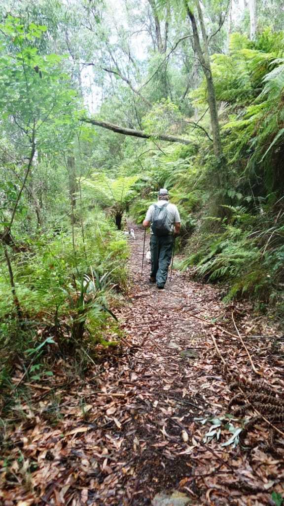
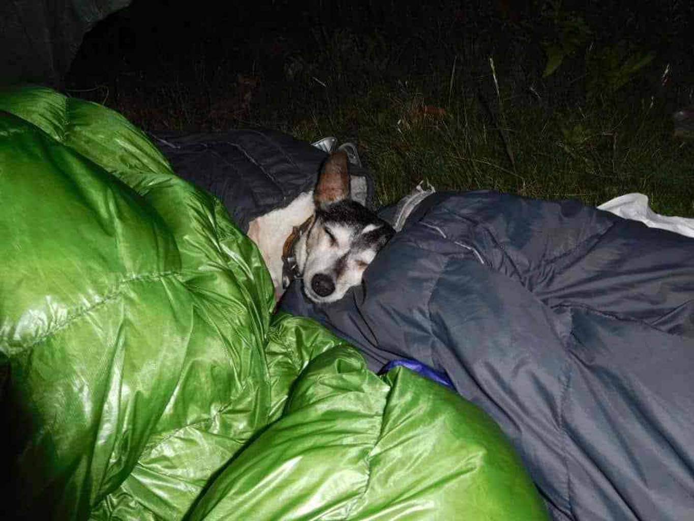
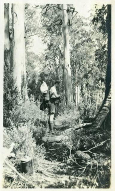
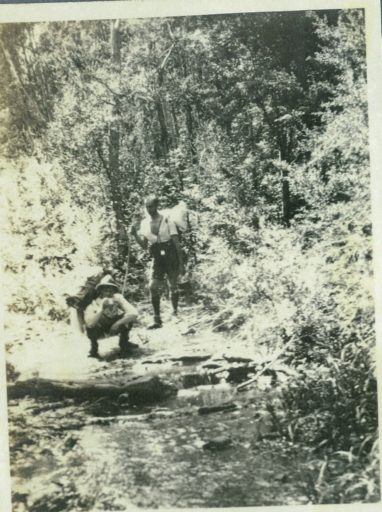
Day 1: Big Pats Creek to New Federal Mill (21km) (4 people)
Last week (Sunday) I set off from Warburton headed for Walhalla on the Upper
Yarra Track. I’d read some negatives about the amount of road walking involved
but was keen to see it for myself and the close proximity to home meant I
didn’t need to travel far to start. My usual walking partner had work commitments
so it was solo for me this time, something I wasn’t that used to. I allowed 7
days to cover the 130k so we agreed to meet in Walhalla lunchtime the following
Sunday. Many of the tracks had closed 1st May so I expected it to be pretty
quiet. The weather forecast predicted snow falls on Baw Baw the following
weekend so I thought that would add another dimension to the walk. Originally
it was to be a bike ride but restrictions on vehicles after closures
unfortunately included bikes.
It was also my first outing with some new lighter gear; Granite Gear pack,
Zpacks Duplex, EE Quilt, NeoAir, 15g diy fuel stove (made from a couple of beer
cans) and diy CF poles which was strong enough to use as a walking pole (I used
one and carried the other). I was happy to have dropped 4 kg off my base
weight.
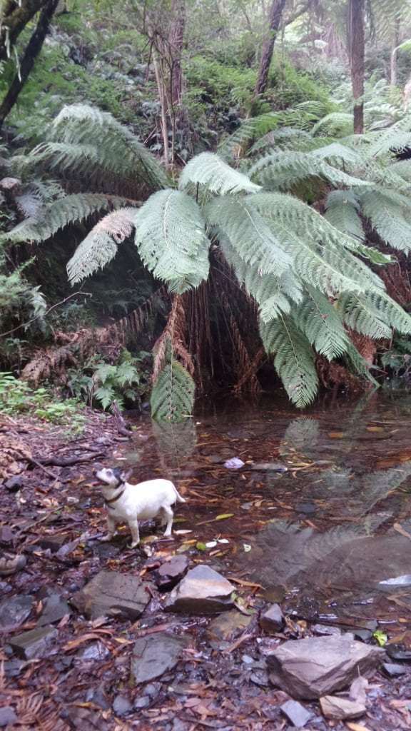
To avoid the 6k road walk from Warby I started at Big Pats on the ‘Walk into
History’ towards Ada Tree, a section I’d done before in cold wet muddy
conditions, stopping at Starlings Gap for lunch. On reaching Federal Crossroads
I dropped my pack and strolled down to Ada Mill No.2 site (a nice camp) to take
some photos teh continued on. About 1k later I realised my diy CF tent pole
wasn’t in my hand and I’d left it leaning against a tree back at the
crossroads. I dropped the pack and raced back to get it, all the way telling
myself I wouldn’t do that again. After collecting water from Little Ada River
(filtered) I eventually reached New Federal Mill around 5pm. It certainly gets
dark early this time of year. Had my usual dinner of dehy rice, veg and tuna
and settled into bed.
 Viewed 172 times")
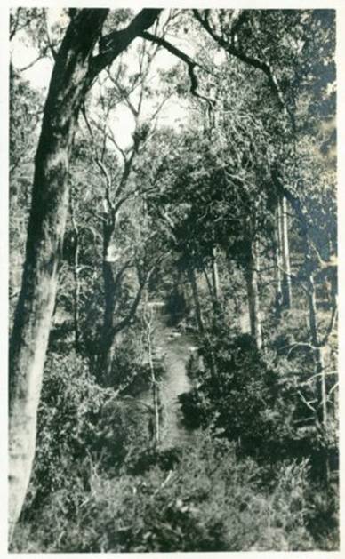
Start of the ‘Walk into History’
track
 Viewed 172 times")
Big Pats Creek
 Viewed 172 times")
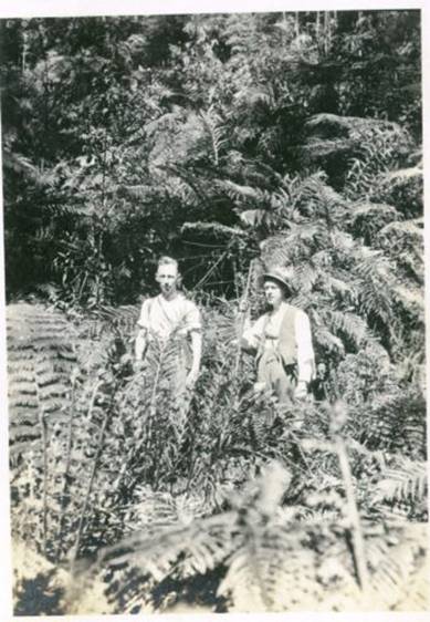
Tree ferns
 Viewed 172 times")
Typical track conditions
 Viewed 172 times")
Starling Gap
 Viewed 172 times")
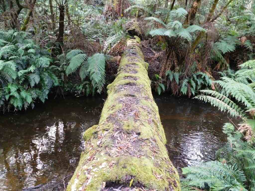
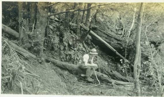
Fallen tree
 Viewed 172 times")
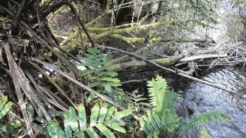
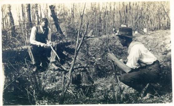
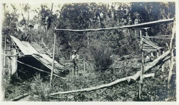
Boiler
 Viewed 172 times")
Little
 Viewed 172 times")
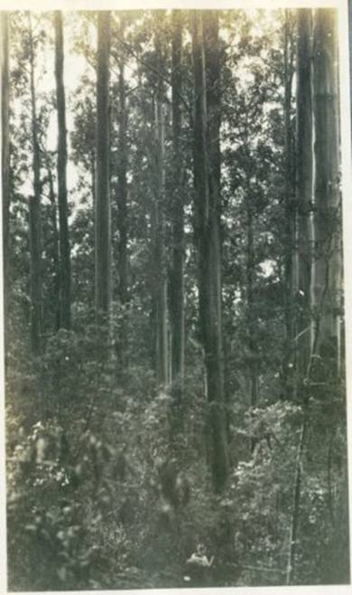
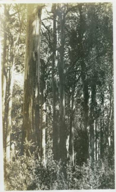
Eucalypt
 Viewed 172 times")
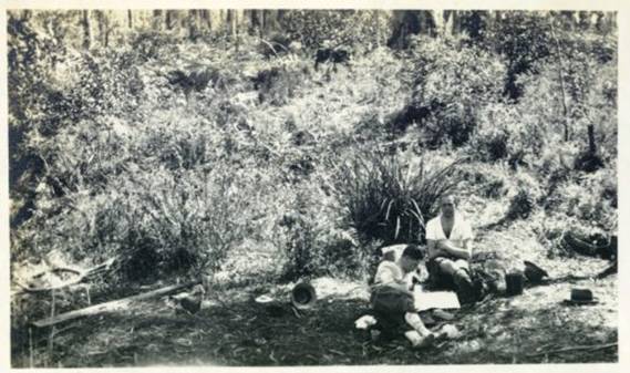
New Federal Mill camp
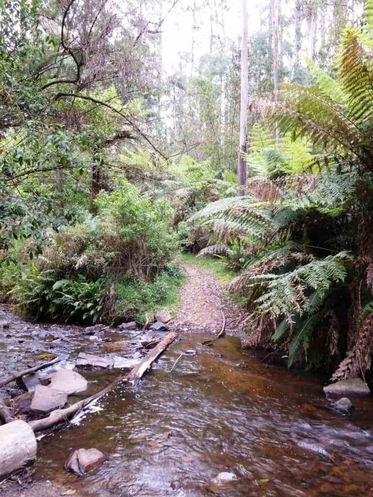
Day 2: New Federal Mill to
Today’s walking would take me past Ada Tree onto New Turkey Spur Track,
Lashos Link Track, McCarthy Spur Track then north on
 Viewed 166 times")
Little
 Viewed 166 times")
 Viewed 166 times")
New
 Viewed 166 times")
Lashos Link Track
 Viewed 166 times")
Lashos Link Track
 Viewed 166 times")
 Viewed 166 times")
Boundary Rd
 Viewed 166 times")
Boundary Rd
 Viewed 166 times")
Boundary Rd
 Viewed 166 times")
Boundary Rd
Day 3:
Up and at it early I was heading north on
 Viewed 153 times")
Early morning on
 Viewed 153 times")
Road 8 into the catchment
 Viewed 153 times")
Track marker
 Viewed 153 times")
Road 20
 Viewed 153 times")
Road 20
 Viewed 153 times")
Shortcut from
 Viewed 153 times")
Forty Mile Break
 Viewed 153 times")
Forty Mile Break near Mt Horsfall
 Viewed 153 times")
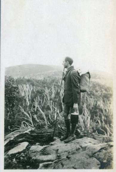
Sunset on Mt Horsfall
 Viewed 153 times")
Camp
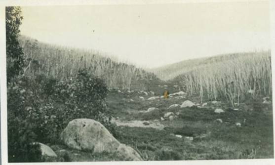
Day 4: Mt Horsfall to
Todays route would take me along Forty Mile Break to
 Viewed 146 times")
Forty Mile Break
 Viewed 146 times")
Track to ‘Fire Suppression
Stream’ off FMB
 Viewed 146 times")
Forty Mile Break near
 Viewed 146 times")
Toorongo Picnic area (a bit of a
mess)
 Viewed 146 times")
Block 10 Rd
 Viewed 146 times")
 Viewed 146 times")
 Viewed 146 times")
 Viewed 146 times")
Track to dam north of
 Viewed 146 times")
Camp near the dam
Day 5:
Today would involve the climb up to Baw Baw from Newlands to meet the AAWT
NW of Mt Whitelaw. I’d looked down this track from the AAWT a couple of years
ago and thought OMG and any info I could find suggested it was totally
overgrown and hard to follow. Sounds like fun! I made my way back to
 Viewed 145 times")
Dam north of
 Viewed 145 times")
One of four
 Viewed 145 times")
Another dam
 Viewed 145 times")
Approaching Frangipani Saddle on
 Viewed 145 times")
Frangipani Saddle
 Viewed 145 times")
Sign post pointing the way
 Viewed 145 times")
Overgrown track up to the AAWT
 Viewed 145 times")
Crossing the Thomson
 Viewed 145 times")
I recognise that sign – at the
AAWT
 Viewed 145 times")
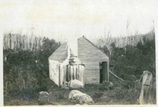
Camp at Whitelaw Hut
Day 6: Whitelaw Hut to Talbots Hut (15km) (0 people)
Today was an easy day…all I had to do was get to Talbots. I slept in and
left Whitelaws 9am along the AAWT to Phillack Saddle for lunch. Again I had
phone reception. It was still pretty windy and the forecast was for gale force
and damaging winds in
 Viewed 138 times")
Baw Baw Turnoff
 Viewed 138 times")
Phillack Saddle, very windy
 Viewed 138 times")
Baw Baw
 Viewed 138 times")
Mt St Phillack
 Viewed 138 times")
Snow poles near St Gwinear
 Viewed 138 times")
View from AAWT
 Viewed 138 times")
Rest near a rock
 Viewed 138 times")
More views
 Viewed 138 times")
AAWT
 Viewed 138 times")
Camp at Talbots Hut
Day 7: Talbots Hut to O’Sheas Mill (15km) (6 people)
Another easy day with only 1200m descent to the
 Viewed 134 times")
Mushroom Rocks
 Viewed 134 times")
Mt Erica Carpark
 Viewed 134 times")
AAWT turnoff from
 Viewed 134 times")
Firebreak Track
 Viewed 134 times")
Huge eucalypt
 Viewed 134 times")
Firebreak Track
 Viewed 134 times")
Firebreak Track
 Viewed 134 times")
Firebreak Track
 Viewed 134 times")
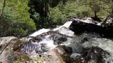
Waterfall at O’Sheas
 Viewed 134 times")
O’Sheas campground
Day 8: O’Sheas Mill to Walhalla (14km) (10 people)
I’d agreed to meet my missus (Bridgette my walking companion) in Walhalla at
the rotunda between 11-12 so got moving pretty early, crossing
Wasn’t a bad walk and best done when the roads have closed. I just wish it
had of snowed two days earlier.
 Viewed 123 times")
Gate on the AAWT near O’Sheas
 Viewed 123 times")
Fingerboard Spur Track on
 Viewed 123 times")
Fingerboard Spur Track
 Viewed 123 times")
High above the
 Viewed 123 times")
Table for two please
 Viewed 123 times")
 Viewed 123 times")
View back to Baw Baw
 Viewed 123 times")
Walhalla
 Viewed 123 times")
Long Tunnel mine
 Viewed 123 times")
Rotunda and end of journey
It is without a doubt
Here are my main pages about it:
http://www.finnsheep.com/THE%20UPPER%20YARRA%20WALKING%20TRACK.htm
http://www.finnsheep.com/Track%20Instructions.htm
I have heaps of posts about this
fabulous trtack as you will find if you do a search in the facility in the
upper right hand corner of one of my pages, eg: https://www.theultralighthiker.com/?s=upper+yarra+track
03/09/2019:
You will see here Gerard
White’s trip vivid report of a week spent (going the opposite direction) on
the track recently. You will also notice that some posts suggest a ‘winter
route’ where you can avoid the Baw Baw Plateau when it is snowed in. There is
public transport to Moe, Warburton and Noojee. There are also a number of
towns/resupply points along the way.
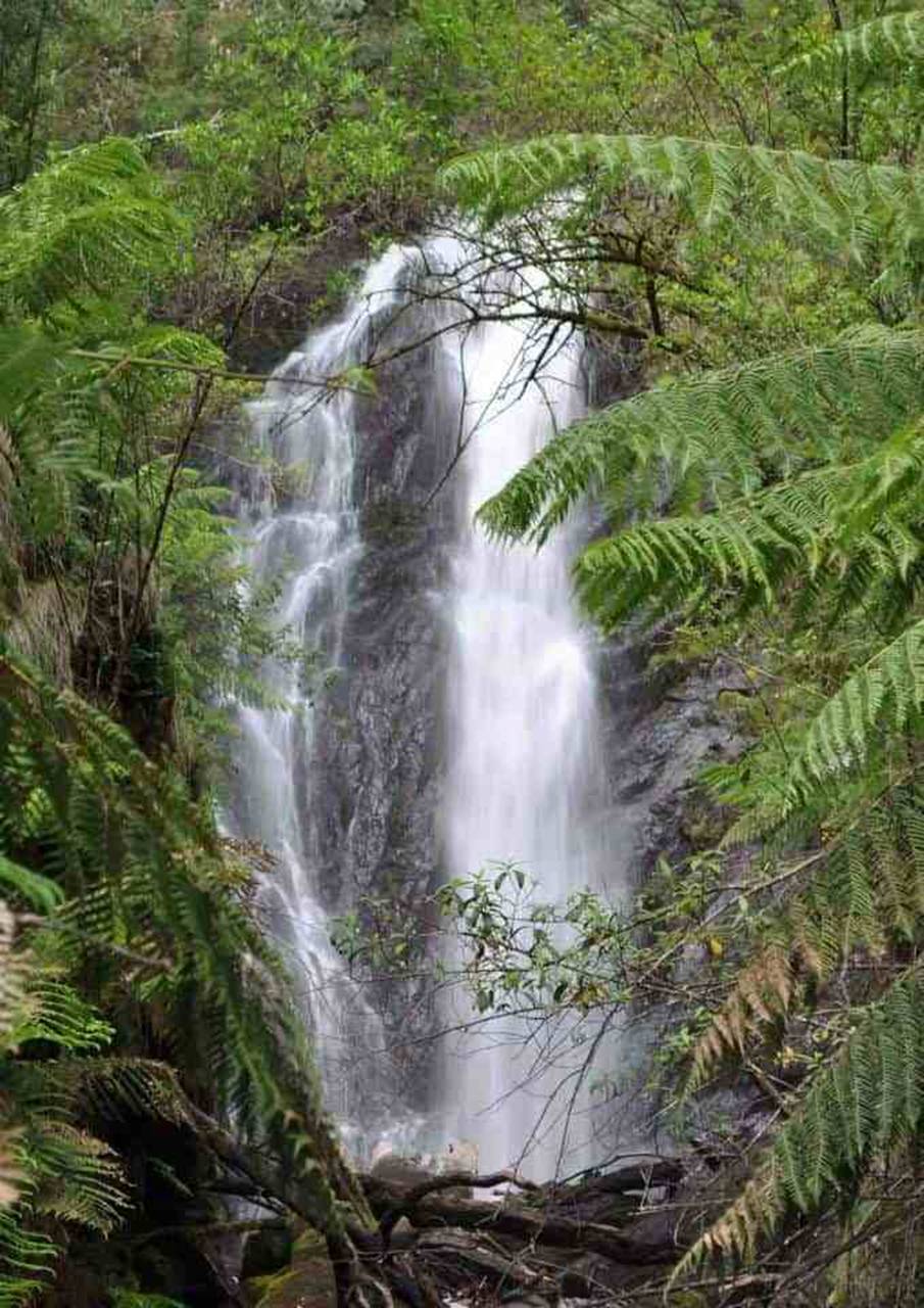
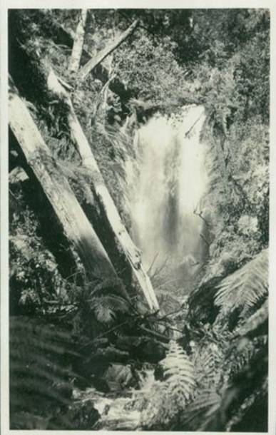
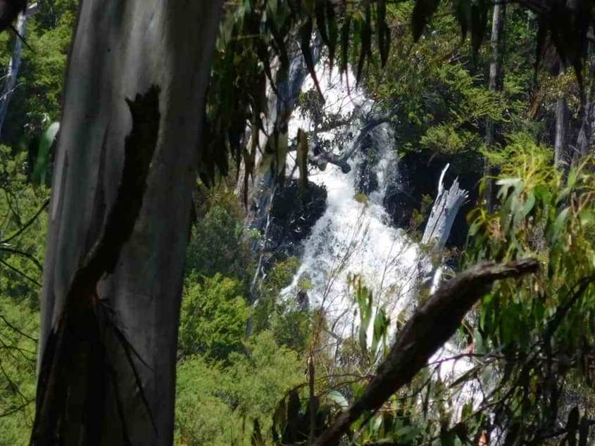
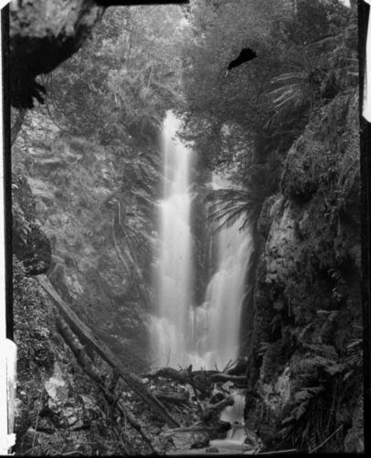
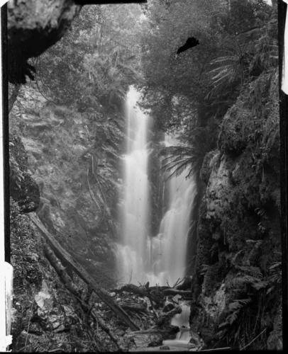
The route no longer goes past the tallest falls
in Victoria the Yarra Falls on Falls Creek in the Upper Yarra Catchment
They used to be
Section
One: Moe-Yallourn North Rail Trail
This lovely trail starts @ 200 metres East of Moe Railway Station. It passes
through Moe’s wonderful Botanic Gardens nestled along Narracan Creek and
follows a fringe of bush to the splendid
Section
Two: Yallourn North to Wirilda Park
This section is easy going along quiet country lanes with lovely vistas and
ample shady spots if you need a roadside rest to enjoy the view. You look out
Southwards over the verdant
Section
Three: Wirilda to Moondarra

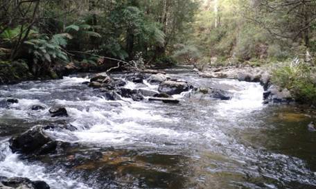
The track follows the true right bank (ie facing downstream) of the Tyers
river until it crosses on an old pipeline. There are numerous spots where you
could stop for a picnic, overnight or for a fish. The impressive cliffs below
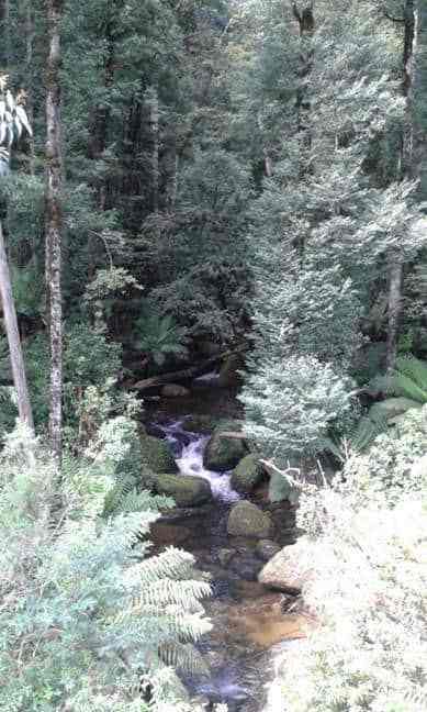
Peterson’s lookout are a feature. Birdlife, wildlife and wild flowers abound.
There are a number of side tracks which can be explored. Keep your eye out for
signs of the old pipelines one of which was made of wood! (15 km – 6 hours)
Section
Four: Moondarra to Erica

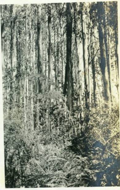
When you come to the end of the Wirilda Walking Track, our walk continues on
East along the W18 through beautiful serene forest. The first suitable
campsite, a really beautiful spot with water is when the trail crosses Jacob’s
Creek on the Old Traralgon ‘Road’. (20 km – 5.5 hours)
Sidetrip:
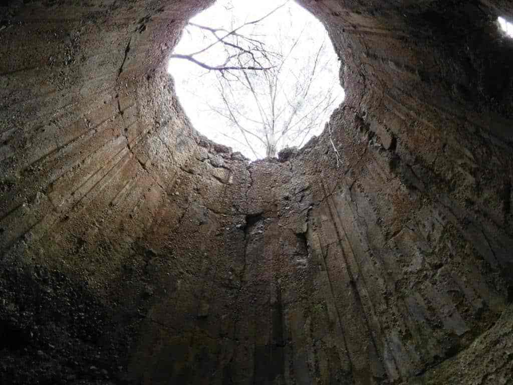
Horseshoe Tunnel/Coopers Creek
Only a bit over a km from Platina Station on the walk from Erica to Walhalla
you can take this lovely walk down to the historic Horseshoe Tunnel. The tunnel
was created over a century ago to divert the river so the dry river bed could
be sluiced for gold. The sidetrip takes about 1.5 hours (or several days if you
decide to camp out!) This early section is fringed with wild cherries. Seats
are provided at strategic intervals for the weary traveler.
Section
Five: Erica to Walhalla
This is a delightful easy section following historic tramways linking two of
the most beautiful small towns in the world. It perambulates gently through
majestic mountain ash and tree fern gullies with splendid views of the awesome
From the Thomson River Bridge/s (‘Thomson Station’) you can walk a lovely 8
km circuit up along the West bank of the river then down along the East bank. If
I were walking the entire UYT I would come down to Thomson Station as soon as
it joined the Mormon Town Track and walk up the West bank as it is far more
beautiful, and would otherwise be missed – as would the two excellent campsites
to be found along it. ( 8 km – 2-3 hrs)
Now (also) called East Tyers Campground I see. This is the first major stop
after you leave Walhalla (12.5km away), some of them fairly steep. As you can
see it is where the Alpine Walking Track crosses the
Winter Route:
I spent six hours yesterday working on this excellent track which had been
long neglected and overgrown. Apparently there were six other people on it too,
though I never saw them – which indicates you can have a lovely solitary
experience on the track. It connects O’Shea’s Mill to Caringal Scout camp and
thus comprises an interesting addition to the Upper Yarra Track Winter route
We did a little afternoon excursion today to check on the existence of some
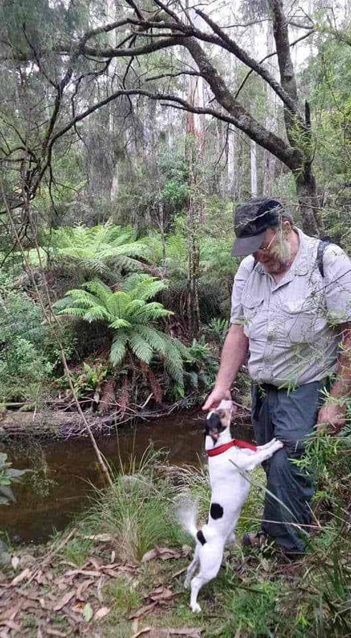
old walking tracks around Erica. The first pic is of Steve Jones with Spot
where the walking track disappears at Tyers Junction near the Caringal Scout
Camp. It seems to be one of the ‘roads less traveled’ judging by the overgrowth
of blackberries and abundance of fallen timber.
Caringal
Scout Camp: Tyers Junction

You might reach here by walking down the rail trail from Collins Siding (10
km – 2-3 hours), where the cottages are on the main
Western
Tyers: Morgans Mill & Skinners Camp
From Caringal you can journey to
Western
Tyers River – Great for Crays
Escaping the heat: The
Spent a couple of days at our old campsite on the
After you have camped the night, cooked and eaten your trout &/or
crayfish, walk West along the Tyers. The
Kirchubel:
If you go nowhere else in the world, at least go here
Just a few kms walk outside the small
Last Monday we spent ‘beating around the bush’ near
Our family celebrate Xmas tomorrow (due to work commitments), so what better
day to continue our exploration of the ‘closed track’ which used to link Downey
(North of Tanjil Bren) with Newlands Rd (Baw Baw Plateau)? We are hoping that
this track will complete our ‘Winter Route’ of The Upper Yarra Track
NB: You can alternatively walk from Tanjil Bren to Toorongo along the
End of Winter Route
Section
Seven: Mushroom Rocks Carpark to Phillack Saddle
This is a beautiful easy section comprising widely varying vegetation and
topography, the spectacular ‘Mushroom Rocks’, the ruin of the Talbot Peak hut,
Mt St Phillack, the highest point on the Baw Baws, and a delightful camp at
Phillack Saddle. Side trips can be taken to Mt St Gwinear and Baw Baw Alpine
Village.
It is about 20 minutes walk from the car park (toilets, water, scenic
side-trip) to the Mushroom Rocks where there is scout hut accommodation if you
have arranged it. It is another hour to
Sidetrip:
Baw Baw to Mt St Phillack
What a way to escape the heat! Others may flock to the beach. We give our
hearts to the mountains. Mt Baw Baw was to be 8C cooler than home (with no
power) and with a delightful cooling 30 kph breeze. When we left our car at the
bottom of
Section
Eight: St Gwinear Track Junction to Whitelaw’s Hut
The route along the tops is a delightful mix of alpine heath and snow gums.
Every couple of kms you will find a small stream (sometimes to the side of the
track) with fresh water. For example there is water near the St Gwinear
turnoff, just after Mt St Phillack, at Mustering Flat and in the valley next to
the Mt Whitelaw Hut site.
Section
Eight: Baw Baw to Newlands Rd

Della: Steve and I, with Tiny and Spot, spent the last 2 days walking over
the Baw Baw Plateau from Baw Baw across to
Section
Eight: Phillack Saddle to Block 10 Road
What a lovely section of track! The high country has so much beauty, so many
surprises. Phillack Saddle is a wonderful spot to camp on lawns tended by
nature’s gardeners amid the alpine heath. There is beautiful clear water just
off the saddle and a lovely stream (below) at Freemans Flat. It will be about
7.5 hours to our car at the Block 10 Road – if we make it!
Who needs an air conditioner? Go up a thousand metres and you lose approx
8C. The Baw Baw Plateau this week has been beautiful with maximums in the low
twenties whilst folks below in the
Upper
Yarra & Australian Alps Walking Tracks

There is secure water (and good camps) at O’Shea’s Mill, along the Baw Baw
Plateau, from the
Upper
Yarra & Australian Alps Walking Tracks 2
If you simply followed Siseman’s instructions after @ 10km (from New Turkey
Spur Rd) without water you would come to a DRY water point at the 21km post on
Boundary Track and would not know that there is a (muddy) water hole a further
6km ahead, so would almost certainly, sensibly give up! Personally I prefer
clear running water with grassy campsites nearby.
Section
Eleven: Ada Tree to Big Pat’s Creek

As you can see the track is well made, delightful and easy to follow
from the Ada Tree all the way to Warburton, with numerous signposts. If you
have a couple of days to spare, this is a pleasant jaunt.
More Side Trips
A reader writes: ‘We decided to use the day searching for the lost ‘Yarra’
Falls. Quite a lot of bush bashing (nearly three hours in, one and a quarter
out) brought us to the top of the first cascade, No #1 of SIX (!) which plummet
hundreds of metres down the valley!) Perhaps

A reader writes: ‘Spent another seven hours yesterday pushing ever closer to
this ‘lost’ treasure. From the top fall, the prostrate scrub was unbelievably
thick for the next kilometre or so. I was
wondering whether I should give up. I guess I spent three hours hacking my way
through it, then after about another kilometre of
‘hill-siding’ I was on a relatively clear ridge.
There are some amazing wilderness areas in
A reader has located the ruins of this magical place and forwarded some
wonderful photos: ‘It is on the
PS: I realise that the above is still very incomplete, but I’m sure you will
fill in more of it with your won explorations.
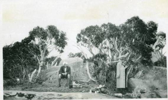
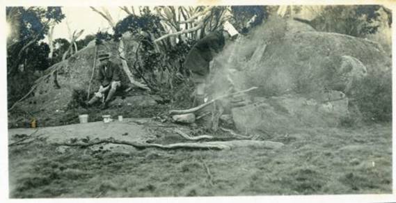
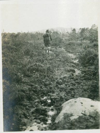
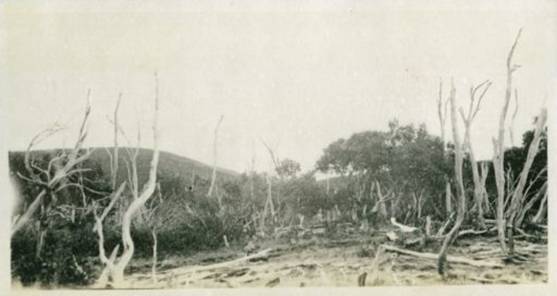
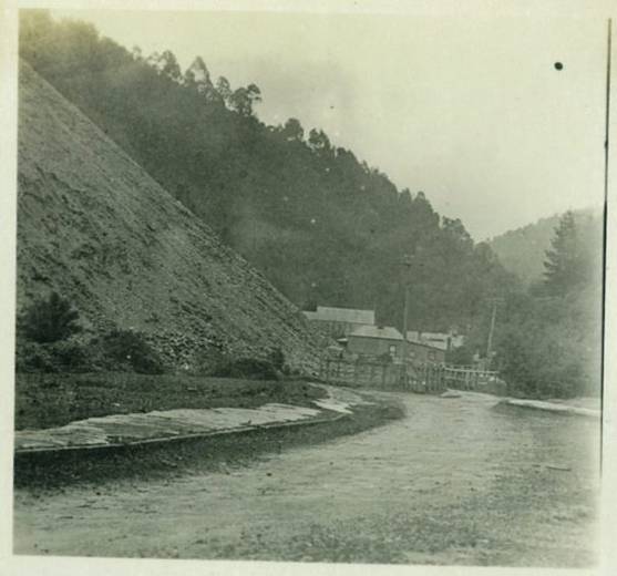
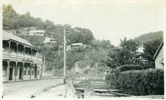
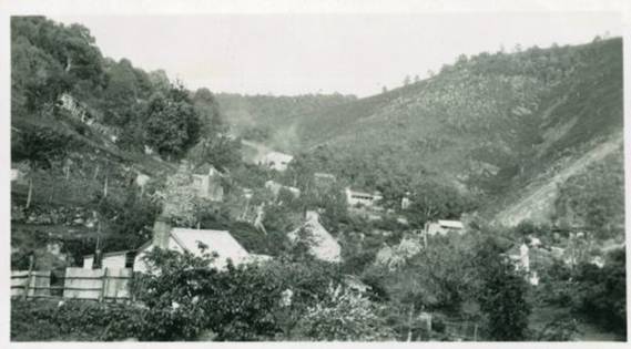
23/12/2017: Over the Baw Baws to Walhalla 1922: These over 70 fascinating photos of a memorable historic trip on the Upper Yarra Track illuminate a journey by John Jensen in 1922. The photos are held by the Melbourne Walking Club and are available here: http://www.melbournewalkingclub.org/photo-gallery/archives The photos were sent to me once again by Thomas Osburg of Yarra Ranges Bush Camp.
I have tidied them up a bit so they can be viewed individually. I think they are splendid. The captions are Jensen's originals. (No doubt better quality scans could be obtained if I had access to the originals, but these still give some idea of the treasures which exist 'out there'). I think the most wonderful thing about them is that they are in sequence and the captions allow us to locate the points where the photos were taken so that we can really relive this delightful expedition. One of the most enchanting things about this series of photos is that (for Jensen) it was a 'sentimental journey' reliving an earlier trip he undertook in 1907, 110 years ago today!
If you do not know the Upper
Yarra Track, it is one of the world's oldest and greatest walking tracks.
It predates all of the
In my Track Instructions I have supplied photographs of much of the route 'today' though in the other direction. You should have a look at them for comparison. Of course the part of the route which is under the Upper Yarra Dam can no longer be traversed and that part which is in the closed dam catchment area may not be (on pain of hefty fines) - though over the years a number of people have traveled parts of it (eg to the Falls and Shelter House) in defiance of such unnecessary and onerous restrictions.
Presumably Jensen and his companions set out from Warburton, and had:
Breakfast at McMahon's Creek:
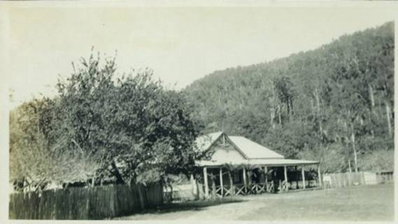
An Abandoned Farmhouse: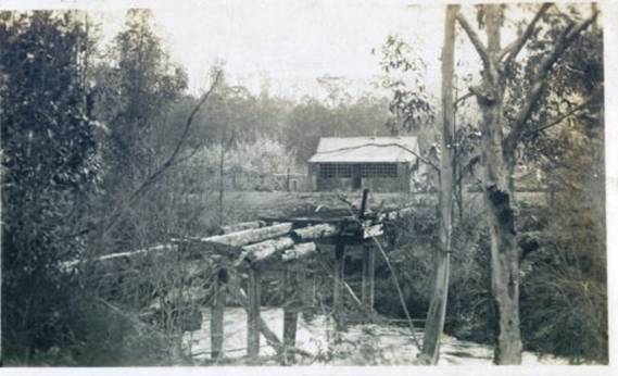
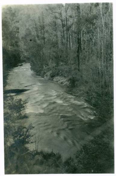
The Yarra:
A Relic of Other Days:
A Halt for Repairs:
Upper Yarra Hotel Walsh's Creek:
The Starting Place:
At Aldermans Creek 3 Miles
The Lusty Young Yarra:
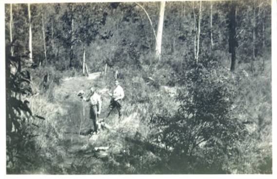
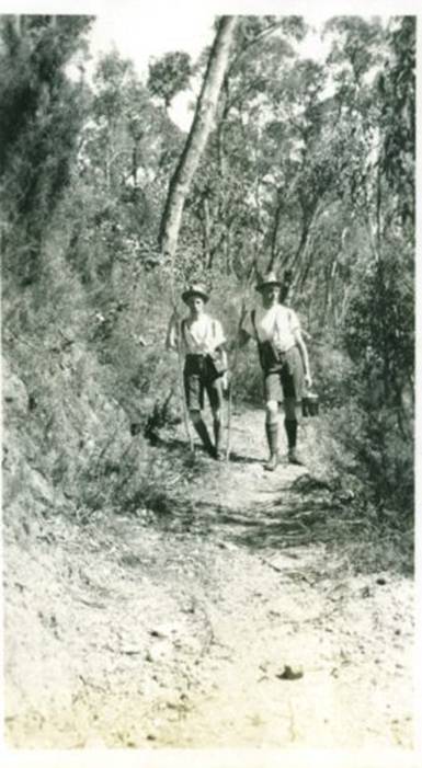
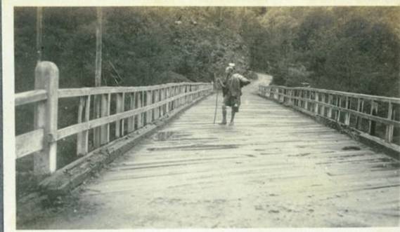
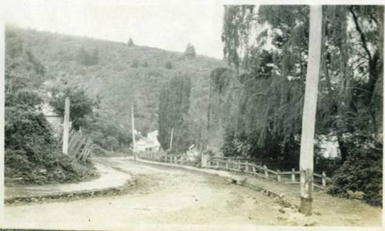
On the Track:
A Glimpse of the River:
Lunch at Contention Gully:
Old Mining Camp at Contention Gully:
Ferns and Flowers:
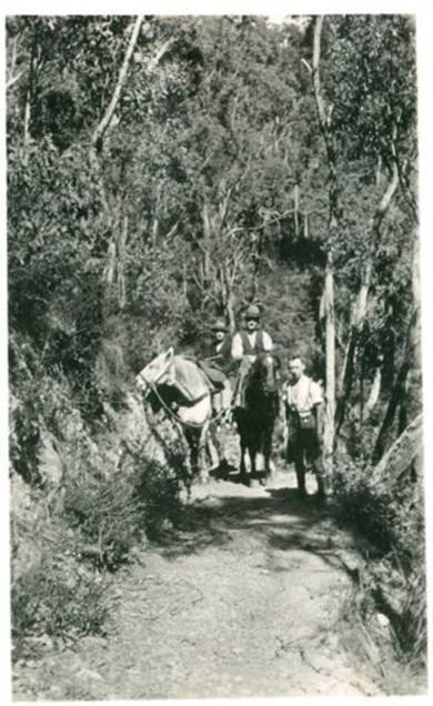
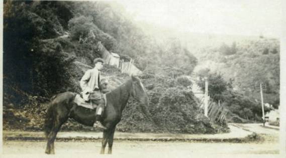
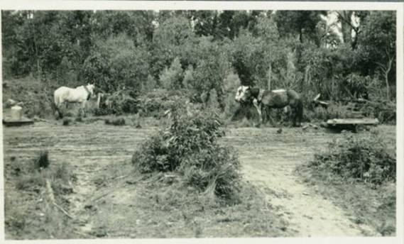
Our pack Horse:
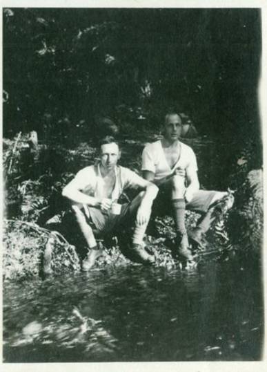
A Halt 11 Miles:
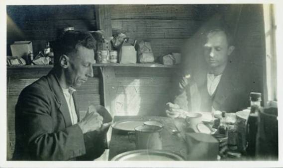
Dinner in the Shelter Hut 15 Miles:
Near the Upper Falls:
The
The
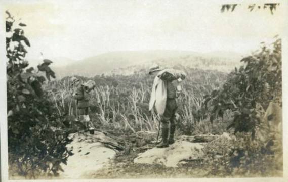
Full Equipment:
In the
Left Fork Source of Yarra:
Right Fork Source of Yarra:
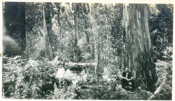
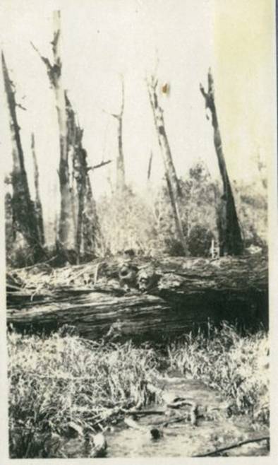
A Fallen Monarch:
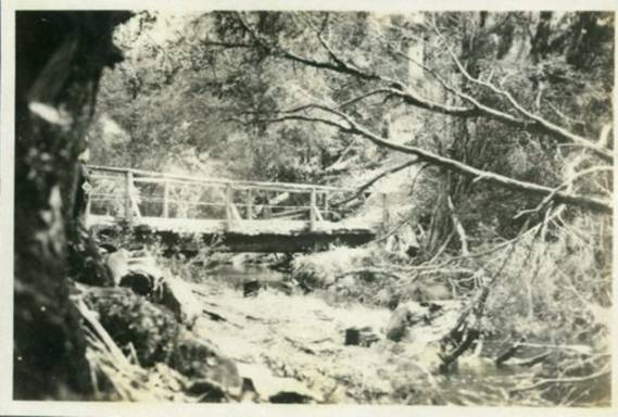
The Thomson Bridge 20 1/2 Miles
Last View of the Yarra:
On the Divide:
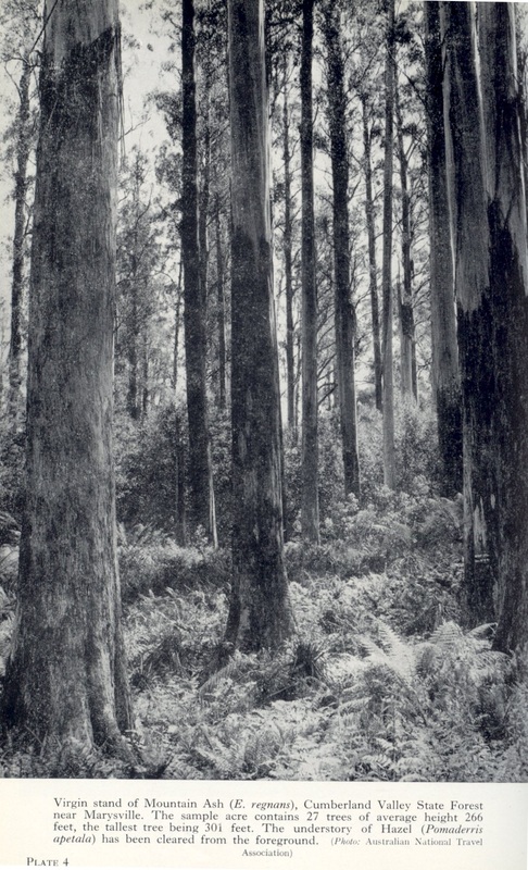
Mountain Ash and Fern
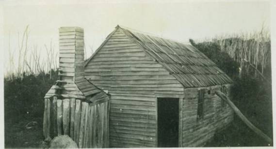
Whitelaw Shelter Hut 29 Miles:
Our unstable Residence Also called 'Lizardville'
Photographing the Clouds:
Mountain Tops:
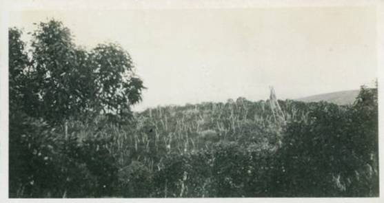
Snow on the Track:
Above the Clouds:
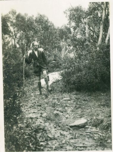
A Lookout:
Mount Baw Baw 5130 feet.
On Mt St Phillack - Highest Peak.
Lunch on Mt St Phillack 5140 Feet.
A Watery Track.
Desolation.
A Morass
Snow Gums
Above the Clouds
Cloud Scenes
Where We Slept in 1907
Mount Erica Shelter Hut 37 Miles
Mount Useful in the Distance
Leaving Mt Erica
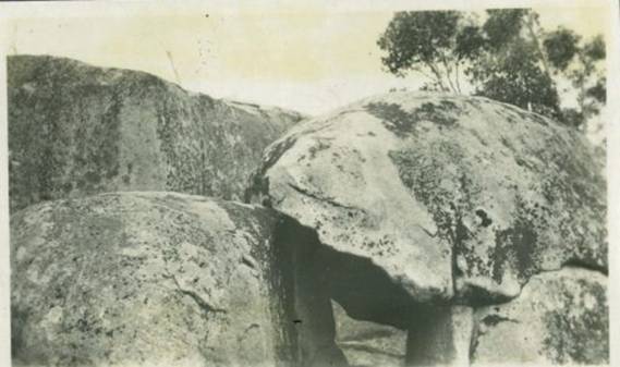
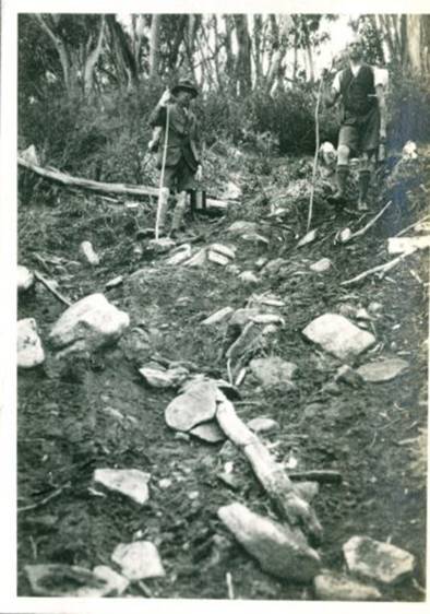
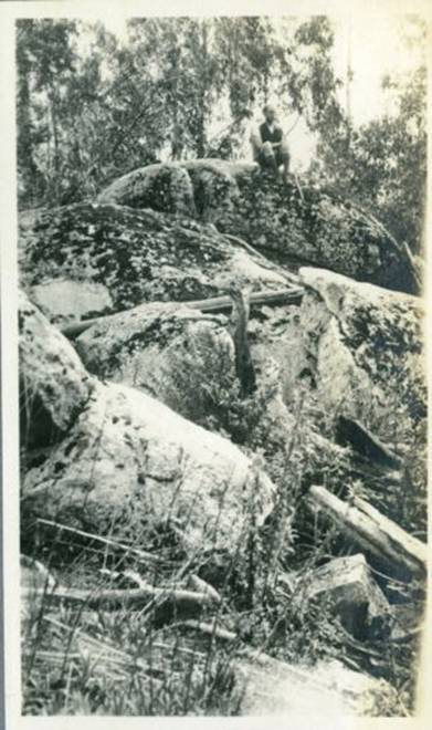
Granite Rocks 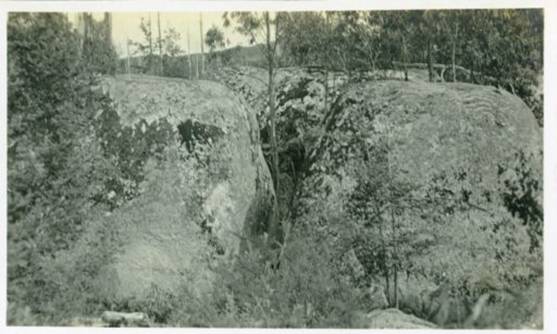
The Track Down Erica
The Granite Rocks
A Rough Track
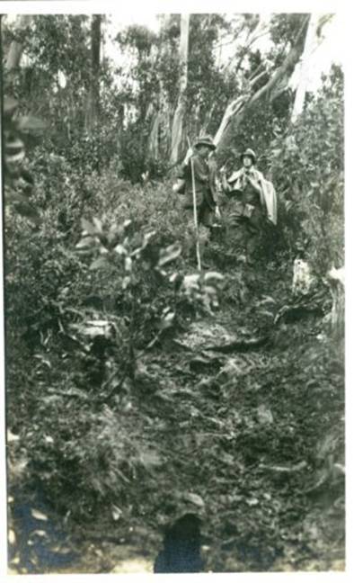
A
A Fern Gully on Erica
On the Rocks
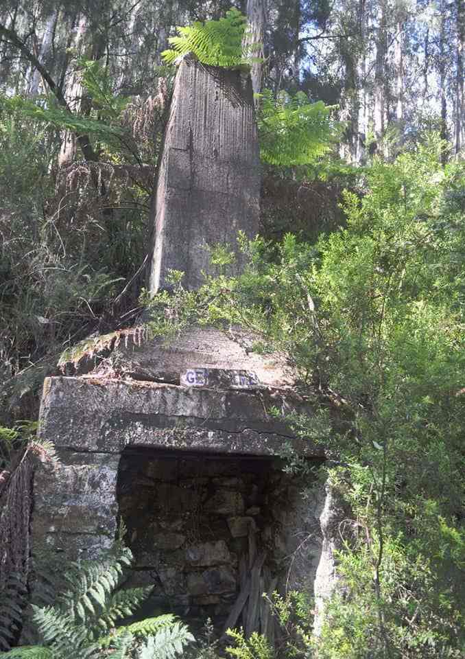
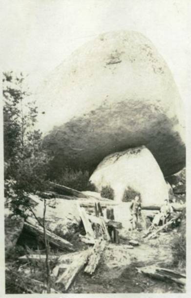
A Timber Winch
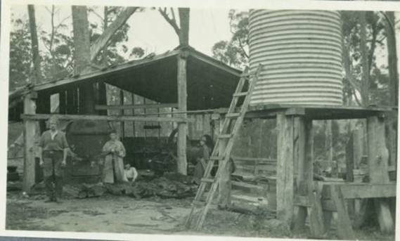
A Log Being Hoisted
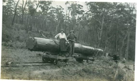
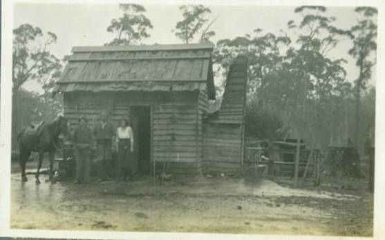
The Winchman's Hut
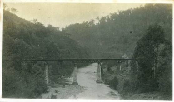
The Thomson Bridge 48.5 Miles
Entrance to the Town
Walhalla At Last
How We Entered
The 'Star' Hotel Walhalla 57 Miles
A Glimpse of the Town
Left Branch Stringers Creek
Remains of the Long Tunnel Mine
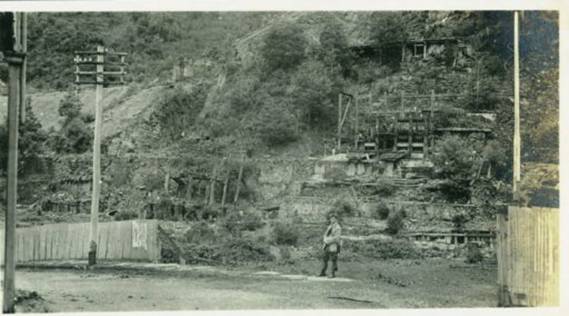
Right Branch Stringers Creek
The Modern Dick Turpin
Leaving Walhalla
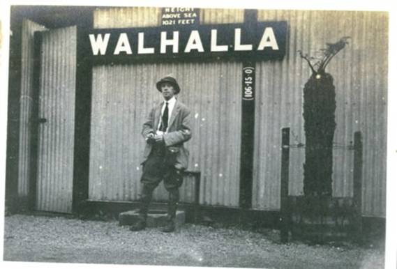
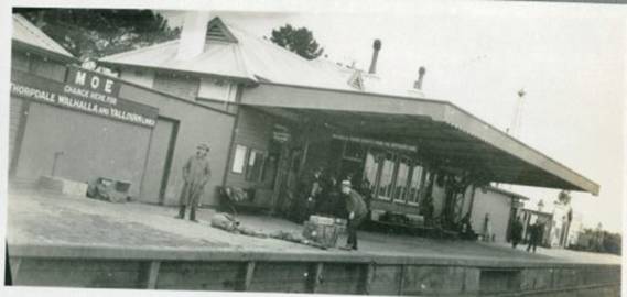
Walhalla Station
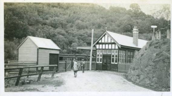
From Watson Station
Moe Station
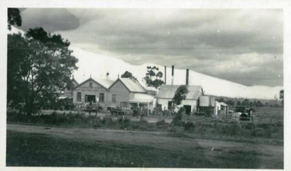
Yarragon Butter factory
Back at Work
They were following this route: http://www.theultralighthiker.com/upper-yarra-track-1925-tourist-brochure-map/ (NB. I need to update this post. Somehow the images have shrunk) Whereas today we would be following this one: http://www.theultralighthiker.com/upper-yarra-track-map/
PS: A search in the facility on the upper right hand side of this page will reveal lots of other Upper Yarra Track treasures...there are many other interesting historic photos as well as the fascinating books by Annie Hoffa and Robert Croll.
I hope you enjoyed this post. it has taken me five hours!
See Also, eg:
http://www.theultralighthiker.com/upper-yarra-track-summary-cumulative-distancestimes/
http://www.theultralighthiker.com/upper-yarra-track-baw-baw-to-newlands-rd/
http://www.theultralighthiker.com/upper-yarra-track-sidetrip-baw-baw-to-mt-st-phillack/
http://www.theultralighthiker.com/upper-yarra-track-osheas-mill/
http://www.theultralighthiker.com/upper-yarra-track-section-five-erica-to-walhalla/
http://www.theultralighthiker.com/upper-yarra-track-st-gwinear-track-junction-to-whitelaws-hut/
http://www.theultralighthiker.com/upper-yarra-track-section-nine-phillack-saddle-to-block-10-road/
http://www.theultralighthiker.com/upper-yarra-track-side-trip-poverty-point/
http://www.theultralighthiker.com/yarra-falls-3/
28/11/2017:
An Excursion to the Upper
Yarra Falls
This was a three part article in the Leader
Melbourne, Vic, Saturday 15, 22 & 29 November 1884, The Contributor: ‘By G’
kindly provided by Thomas Osburg of Yarra Ranges
Bush Camp. Much of it is incredible, to say the least. The author
has explained the value of solitude and the preservation of wilderness so well
– his conclusion: ‘It would seem well, therefore, that some steps should be
taken permanently to preserve these forests in their present state,’ might have
been written yesterday! I think it should also be useful to today’s ‘explorers’
keen to retrace these earlier delights of the ‘Upper Yarra Track’ See also: Track
Instructions. You will find that the going to the falls is just as
difficult as described here, but that the views of the falls are worth every
bit of the difficulty of the trip.
Part 1:
No poet has yet sung the beauties of the Yarra.
It may be asked, Where are the
There were several difficulties to overcome. There was a party
to get together, neither too large nor too small, that is, not less than three
nor more than four. There was the question of accurate information as to the
route. I reflected that the track having been cut by a Government party, there
would probably be a plan of it somewhere in the archives of the Government
department. I will not detain my readers with a narrative of my adventures in
the Government offices in search of this plan. I received every assistance from
the officers of the various departments concerned, and finally obtained a
tracing of it on a scale of forty chains to the inch. I found that the track
went from Reefton to Mount Lookout, on the road from Jericho to Walhalla; that
the distance was about 17 miles; that it crossed the Yarra about 20 miles from
Reefton, and about a mile and a quarter below the crossing were the falls.
The last and most important point was the party. There are always
many things to be considered before men of various vocations can arrange to
take a holiday together. Finally my companions of the previous year agreed to
go, and at the last moment I enlisted a fourth man, whom I shall describe as
R., who had been with me on a somewhat similar trip to Mount Baw Baw. This I
thought a great accession of strength, and I will explain why. Of my companions
of the previous year, one is a man of extensive scientific and professional
acquirements, which, though intended for exercise in a larger sphere, are not
successful for finding a way through difficult country. To him we were indebted
for the aeromatic measurement of the heights, but, like myself, he is a man
approaching middle age, living in
The remaining member of the party to notice is the horse who was
to carry the pack. He is an old bush horse (some people may call him a pony),
well adapted for rough ground. He had been out at grass some time before the
start, and came home, to my great disgust, in by no means good condition.
However, we determined that there was nothing for it but to start with him, as
another horse that we might obtain for the occasion would probably turn out
altogether unfit for the work.
Our equipment amounted to about 2 cwt., when the water tins were
empty. It consisted of a calico tent, 6 feet by 8, with a fly, a rug or blanket
each, a piece of waterproof to put on the ground, a change of clothes each,
captain’s sea biscuits, tinned meats, cold boiled corned beef and bacon, tea,
sugar, cocoa, cheese, brandy, lime juice, &c., and oats. The last item may
puzzle some readers, but it is absolutely necessary. In the dense forests which
cover the ranges one may travel for miles without meeting with a blade of grass
or anything else that a horse can eat.
We made our start shortly after the new year. Three of us, with
the pack, took the coach from Lillydale to Warburton. The fourth rode the
horse. We had dinner at Warburton, loaded the horse, and commenced our tramp.
Warburton is situated on Yankee Jim’s Creek, about 3 miles from the Yarra in a
little valley shaped like a punch bowl, where several creeks unite.
Considerable gold workings have been carried on there, and water has been
brought there by races for the purpose of sluicing, which has much increased
the natural volume of Yankee Jim, and at the same time giving him a chocolate
tint unusual on a mountain stream. There is at Warburton a store and house of
accommodation, kept by Mr. Bullen, a State school, and one or two other brick
houses. At Warburton we made some inquiries as to the track. We were told it
had been cleared to a width of 12 feet right through, and we could have no
difficulty in keeping it, and that the water in the Ten Mile hole was
permanent. We were able to test the accuracy of the first part of this information
by our experience of last year. It was inaccurate in a way information as to a
bush track will often be. The informant will have travelled the track when
open, and will have omitted to allow for the changes by falling timber and
growth of scrub, which in a few years will nigh obliterate an unused track.
From Warburton the track passes through a saddle beneath a lofty
plume of timber on to the waters of Scotchman’s Creek. It then becomes a
sideling, following the course of a tributary of Scotchman’s, winding in and
out with the contour of the hills, and crossing minor tributary creeks or
gullies by log bridges or crossings. After a time it crosses Scotchman’s Creek,
then crosses the spur on the opposite side on to the waters of Four Mile Creek,
near the mouth of which it makes the Yarra. This locality from Warburton is the
prettiest to be found in
On reaching the Yarra the road again becomes a dray track,
recently cut along the river, round the spurs of Warburton Hill. Not long after
crossing Four Mile Creek we determined to camp before leaving the selections.
The selector’s clover which had strayed on to the road would give our horse a
good supper. A place was selected for the tent be-tween two live trees which
were growing beside the river, near which we u-loaded the trap. We then set
about to camp, one lighting the fire, another tethering the horse, another
pitching the tent and another cutting ferns for a bed. When all was done we had
our evening meal. R. went down to the Yarra and caught several fine black fish.
The flying squirrels flew from tree to tree, and screeched a little. After dark
we turned in. During the night we heard another fall of timber not far off. The
next morning we were up at four a.m. After bathing in the Yarra we breakfasted
on the blackfish caught the night before, which were cooked on the embers. We
then packed up and started for M’Mahon’s.
Shortly after starting we crossed
We were particularly anxious to identify on our tracing the
position of the ten-mile water hole, which we had failed to make the previous
year. We learned that it was about a mile beyond the finger post; that the road
went up hill to the finger post, and then a gentle slope down to the ten mile
water. I showed Mr. Ridgell our tracing, on which the creek which crossed the track
before it reached the Yarra was made to run from right to left. He appeared
somewhat staggered by this, but I remembered that the year before he had told
me distinctly that the creek ran from left to right, and, inwardly determined
not to be put out, I found the arrow head upon the tracing, notwithstanding
that it did so. Mr. Ridgell here gave us a piece of information, which proved
useful, that the track went down to this creek on a sidling. We had determined
to go on to Reefton and get some more provisions and horse feed at the store,
but we changed our minds, and had dinner at Ridgell’s. This took a little time
getting ready, and it was consequently a quarter to four before we were off.
Instead, therefore, of keeping along the Yarra we turned up the spur
immediately after crossing M’Mahon’s Creek, This would take us by a different
road to our camp of the year before at the little water holes. The ascent was
longer, and therefore not quite so steep, but this was some what compensated by
the track being a good deal overgrown with scrub. We found that the main spur
between M’Mahon’s Creek and Alderman’s Creek divided into three spurs at this
point, that to the west being the one from M’Mahon’s, by which we had come, the
middle being that from Reefton, and there being another to the east.
Turning therefore down the middle spur towards Reefton we soon
came to our camp of the year before. This we reached at six p.m. It was much as
we had left it— the heap of ferns which had made our bed; the tent pegs and
logs we laid at the bottom of the tent; the empty tins, the ashes of our fire.
We at once unloaded, and set to work to camp. Next morning we arose at six
o’clock, but when going to fill our billies for breakfast were annoyed to find
that our consumption of the previous evening had nearly exhausted the little
holes. The result was that after we had breakfasted and watered the horse,
there was only enough water left to half fill one of our water tins. This was a
disappointment; we accordingly loaded up, and moved off at about half-past
nine.
At about 5 miles from our camp was marked on the tracing the old
shaft of the Excelsior reef. We found the track not so plain as it had been the
previous year, and shortly after starting we had some difficulty about it; but
our experience enabled us to avoid the branch tracks on to which we had then
wandered. We had also the advantage of the pioneering of R. It was a hot day,
with a north wind. At about half-past one we came upon the heap of mullock
which marked the Excelsior shaft. This was satisfactory. It enabled us to tell
our precise position on the track and consequently our rate of progress. We
determined to have lunch, so unloaded the horse and sat down in the shade of
the scrub. During lunch we discussed our position. We had taken four hours to
come 5 miles; our rate of travel, therefore, was one mile and a quarter per
hour. Supposing that we proceeded at the same rate or, allowing for the road
being probably worse, at a mile an hour, we ought to reach the finger post in two
hours, and the ten mile water in three hours. On a clear road we could have
traveled 3 miles an hour and upwards without difficulty. But on the sort of
track we had come by it was different. In the first place one has every step to
look to, so as to avoid slipping upon the sticks and bark with which the ground
is strewn. Then one has to see that one is on the track, and for this purpose
keep a good look out for blazes, cut timber and other indications. By wandering
a little off it the ground becomes much rougher, and traveling proportionately
slower. Then one has to step over or go round fallen logs, and also to keep an
eye to the general features of the country and attend to the direction in which
one is going, either by the compass or the shadows, to be assured that the
track one is following is the right one, for a short distance before reaching
the shaft we had had to pass through rather dense scrub. All these causes
combined reduced our rate of travel from the regular 3 miles an hour to a mile
and a quarter. So soon as we reached the old shaft I was convinced that we had
passed it the previous year, and upon going forward it now became evident that
there had been in the interval a great growth of scrub, obliterating every
trace of the track. As we went on matters grew worse. In the hollows
the scrub was high over our heads, the stems close together as
thick as a man’s wrist, and matted with wire grass, and continually covering
fallen logs, Through this we struggled, hot and panting. A portion of the scrub
had a white flower upon it, the pollen from which made us cough and sneeze. The
horse came on steadily, pushing aside the scrub and stepping, sliding or
jumping over the logs, as the case might require. Mixed with the live scrub and
rising above it were tall, dead sticks of considerable weight, which had been
killed by fire. These the horse knocked down right and left with his packs, and
some of us got nasty knocks from them. Whenever we could see about us we had to
keep a good look out for spurs coming in on our left, lest we should miss the
finger post and wander on towards the Crossover. One such spur we noticed and
spent a little time in ascertaining that our track did not go along it. Our
line of march was as follows: R. went ahead to look out for tracks, and the
horse was never led out of sight of the last blaze or cut log, until he had
struck another blaze or cut log ahead. When this was not for some distance the
others would spread out, so that one kept in sight of the horse and one again
of him. The signal to come on could then be passed as soon as the track was
again struck. In this way the party was never off the track. As we went we made
blazes to guide us on our return. Our progress was, of course, slow and
toil-some. We were, therefore, not surprised that at half-past four we had not
yet seen the finger post, but by five o’clock we were anxiously looking out for
it; and about this time a change came over the character of the track. We had
been passing through country which had been burnt since the track had been cut,
and upon which a growth of scrub had taken place, completely obliterating it.
We now came to a place where the original 12 feet clearing could often be seen.
It was obstructed by fallen logs, sticks and wire grass, but not by scrub. The
scrubs on each side were old, with slender stems and leaves at the top. The
ground, moreover, became a black mould in place of the stony surface we had
before met with. There was an appearance of musk and tree ferns, and the timber
was increasing in size, the prevailing tints becoming a mixture of black and
pale green. All this was an indication that we had reached, or were
approaching, the crest of the south dividing range of the Yarra, where we ought
to see the finger post, but the finger post we saw not, so we went on from five
to half-past five, and from half-past five to seven, when we camped.
Part 2:
We struck camp next morning at half-past nine. Just after
starting we noticed a tree marked W. From this we understood that we had been
encamped on the two mile water. This made our march of the previous day a
little over 8 miIes, The height of our camp measured by the barometer was 1700
feet above McMahon’s, We proceeded along the south watershed of the Yarra in a
general easterly direction.
The prevailing charactor of the country was the same as on the
evening before, The track was often perceptible as a sort of avenue through the
scrub, though in the clearest places knee deep in ferns and wire grass and
obstructed by logs. We passed through several saddles separated by small sills,
At about twelve o’clock we could see a great spur coming in to join the ridge
we were following from the north – that is on our left, This could be nothing
else than the right watershed of Alderman’s Creek. We were, therefore, making
good progress, and might hope to reach the Yarra that night. So we went on for
another half hour, when our horse, in getting over a log, slipped and fell; he
could not rise again with the pack and we had to unload him, but he was none
the worse. As we began to ascend the hill we found the sides and top of it
covered with huge logs hundreds of foot long, as if it had been cleared by a
survey party, The interstices between them were filled with tall bracken and
scrub with white flowers, and the track seemed altogether obliterated. We made
our way very slowly round and over the logs, and presently the horse got
another fall, and we had to unload and reload again, There was a good look out
from many places down the valley of Alderman’s Creek and of the ranges across
the Yarra,
We found the top of this mountain was 1200 feet above our camp
of the previous night, or about 4000 feet above the sea level. It is unnamed on
the maps. We christened it
We pitched the tent under two beech trees, whose thick foliage
would protect us from any sticks that might be blown off from the gums, and
made our bed of fronds cut from the ferns. When we got up the next morning a
strong north wind was blowing, shaking the tall, white ferns like corn stalks,
bending them as if to break with a great roaring noise. We did not make a start
until about half-past ten, when we at once began to ascend out of the saddle,
and soon came out into the sunshine on to a hill covered with fallen timber and
sword grass, and from which there was a good view of the opposite ranges. The
logs had rotted and broken into fragments, and were therefore not the obstacle
they had been on
After about a couple of miles gum trees again appeared mixed
with the beech trees, and we were again troubled by fallen tlmber. About the
same time we found growing in the track tall solitary stalks of grass like oats
which shot up with a stem as thick as one’s finger, seven or eight feet high.
Finding the horse would eat the two gathered bundles of it, as we went along. A
little after twelve o’clock the horse got another fall getting over a log. We
had to unload, and determined to have lunch, When we again made a start we
found it had been raining heavily, and that the scrub was very wet. In a little
while we got out of the beech forest, and began to ascend a hill covered with
tall standing gums and thick bracken up to our shoulders. Through this we
pushed our way, getting drenched through. When we gained the top of the hill we
found our track appeared to leave the rldge, and turn down the sideling to the
north-east. After turnlng down on the sideling we were soon again in a beech
forest, and out of the high wet bracken.
In about half a mlle we came to tho creek, which was broad and
shallow, scarcely covering the ground. It crossed the track from left to right-
not from right to left, as marked in our tracing. The descent from the ridge to
this creek was not more than 200 or 300 feet, and not at all steep, consldering
it was on a sideling. We crossed the creek and ascended to tho ridge on the
opposite side. Crossing it we descended on a sldeling to the Yarra, which we at
once passed over. It was a much smaller stream than that we have left at
M’Mahon’s, being about 30 feet wide and about up to our ankles, with, however,
a good current. The scene was a peculiar one. It was still raining hard. Heavy
clouds rested on the tops of the beech trees from 50 to 70 feet above us, which
lined the river banks and covered the slopes, and hung in festoons between
them, but below it was clear. We had no time to stand and watch it, however,
being wet through.
We had to get to work and camp at once. In about twenty minutes
we had a fire big enough to roast an ox. Having pitched our tent we looked
about for something to make a bed of, and the best thing we could find was a
heap of bark at the foot of a neighboring messmate. This we dragged in front of
the fire and dried, after which we had our evening meal round the fire. We stood
up round it for some time drying clothes, while the horse stood warming his
nose on the opposite side of the fire. Finally we turned in.
We were up at six the next morning. There was still a slight
rain, We had breakfast, and at half-past eight we started in search of the
falls. Our camp was shown by the barometer to be 2100 foot above M’Mahon’s or
only 500 feet lower than the top of
We accordingly descended as rapidly as a regard for our necks
would permit several hundred feet, and made our way on to a Iedge down to the
water. From this point we could see the water fa!ling above and below us over a
faoe of dark rocks in a series of steps. The fall was shaded by ti-tree, with
occasional tree ferns on the ledges. The spray fell like rain. We were too
close to the face of the fall, and tho ledge we were on would not permit us
getting further out. We were not the first persons who had viewed the Yarra
falls from this spot, for we saw a tree with a blaze on it, on which was a
name, partly overgrown with bark, whioh we made out to be A. Burns. We then
crossed over, scrambled along the face of the cliff and made our way down an
other hundred feet or two, and got another vlew of tho falls, with, however,
the disadvantage that we were too close to see far up or down. This point was
by the barometer 550 feet below the top of tho fall. We could see the fall for
about 50 feet below it. It was a continuous fall all the way, interrupted only
by small ledges. There is, however, no reason to suppose that the lowest point
to which we could see was anywhere near the bottom of the fall. Judging from
the appearance of the valley it was far from being so. The total height of the
fall therefore, can scarcely be less than 700 feet or 900 feet; it is probably 1000 feet.
We had not seen by any means as much of the falls as we should
have liked, but we were compelled to return. It was Tuesday, and R. had to be
In a distant part of
By half-past one we had regained our camp. We then bathed in the
Yarra, had lunch, struck our camp, and started for the Thompson, where we hoped
to camp that night. It was shown by our tracing to be 4 miles distant. The
track in the first instance followed the ridge of the very low spur between the
main arm of the Yarra and tho tributary that joined it just below our camp.
After a little the track forked; we took, the left fork, which took us down to
the tributary at a point where two creeks united to form it; beyond this the
track was not apparent. After a little we found a place where a tent bad been
pitched, with a rude platform of round timber to raise it off the ground. We
had evidently come upon an old surveyor’s camp. That explained how it was that
the track ran out. We accordingly returned and took tho right hand fork of the
track. After we had gone about three quarters of a mile the track turned down
to and crossed the creek on our left, and shortly afterwards began to ascend a
ridge on a sideling. The top of this ridge was not. more than 100 feet or so
above our camp. On it we found white gum timber.
The rldge was narrow, and the track immediately descended on a
sideling on the other side, about 300 feet Into a narrow valley containing a
fine stream of water. The sides of the valley were lined with beech trees, with
a few tree ferns. This creek must form the right fork of the Yarra as laid down
on the maps; and as its level appeared lower than the top of the falls, must
join, the left fork below them. Crossing the creek we ascended on a steep
sideling on the other side to a height somewhat greater than that from which we
had descended, and found ourselves in a forest of white gums mixed with beech
trees, with a good deal of undergrowth. The creek, however, continued tolerably
clear. We were now upon the crest of the dividing range, between the waters of
the Yarra and the Thompson, marked on the maps as Wright’s range. A little
before seven o’clock the track began to descend gently, and we reached a fine
stream of water crossing the track from north to south, spanned by a good log
bridge.
This stream, which was much larger than either fork of the
Yarra, or, I should say, than both of them together, we made out to be the
Thompson. Here we determined to camp. A little way up from the river, to the
right of the track we had come by we found an open glade carpeted with good
grass. On this were the remains of an old survey camp, consisting of log
platforms, similar to that we had noticed on the Yarra. There appeared to be a
succession of rich glades along the river, divided only by low scrub, tall
timber not being found till some little way up the slopes on either side. There
was, therefore, a clear view up and down tho river for some way over the top of
the scrub. We could see the sky, too, overhead and in front of us. All this was
a change after the dense grass through which we had been traveling for the last
four days, The edge of the other valley was lined with large white gums, say
100 foot high, with straight, thick limbs tapering to the top, and wide
spreading arms a little more than half way up. The slopes behind were covered
with a mass of plants of different kinds. Every here and there above this rose
to a great height huge logs, white with age and black with fire, without limbs,
broken at the top. Though generally impressed by the view, there was a feeling
of solitude connected with this camp not experienced elsewhere in the course of
this trip. The height of this camp was 2300 feet above M’Mahon’s, or only 100
feet lower than our camp on the Yarra. We were still, however, above a high
plateau, as high or higher than the top of
Part 3:
‘After bathing in the Thompson, which we found about up to our
waists, and very cold, we had breakfast, and made another start. We crossed the
bridge and ascended the opposite hill. The track was good, and after a time we
got among the green saplings and wattles. They were about 9 inches at the butt
and about 30 feet high. They grew thickly on each side of the track, and were
often fallen across it. So we continued for about 2 miles, apparently keeping
near the ridge of a spur. At this point the track turned a little off the ridge
to the right, crossing the head of a valley, which ran south, to join the Thompson.
Just as we got across this valley we came to a pile of huge
granite holders, and from this spot we got a fine view down the valley, and up
the Thompson, with Mount Baw Baw in the back ground. Just beyond there was a
heavy fall of dead, timber, which we got past with some difficulty. The track
was again clear for a little. It then crossed the ridge, and we got on to a
sideling sloping to our left. Here we came to another heavy fall of dead
timber. Some logs 100 feet long and several feet through at the butt had fallen
across the track, bringing down with them great quantities of the sap-lings and
wattles. The track was blocked in this way for 100 yards or more. We had to
endeavor to carry our packs over the obstacle, and then find places where the horse
would jump the logs, or they were sufficiently broken to enable him to scramble
over them, and move the saplings for him to get there.
We loaded again, and proceeded a few hundred yards. Here we came
to a worse block, and extending a long way ahead. It had taken us two hours
hard work to traverse the eighth of a mile. We were then 12 miles from
On our return to the granite knoll we admired the view at
greater leisure. The undulating ridge of the plateau, covered with foliage of
diverse tints; the red of the gum saplings contrasting with the deep green of
the wattles and the huge black and white trunks that at intervals towered above
it. In the back ground were Mt. Baw Baw appearing as an isolated group of
rounded pyramids or conical domes rising to a great height above the plateau on
the south-east, and that notwithstanding that the granite knoll was 2600 feet
above M’Mahon’s, or between 3000 and 1000 feet above the sea, and the ground
between us and Baw Baw was rising. We returned to the Thompson, and camped a
second time upon the same spot.
The next day we left our camp standing and walked to the Yarra
to have another cooler at the falls. We had a pleasant walk through the beech
forest, the dark shade of which was set off by the straggling gleams of bright
sunlight which found their way between the trees. We had lunch under a small
fall. A little above this was a great fall, which was shaded by the ferns, and
very pretty. We then began to descend the great fall from the top, keeping near
the edge of the creek, and saw a fine series of cascades. Still, we could see
but a small por-tion at once. After getting over 100 or 200 feet, we came to a
high rock, jutting out on the left bank of the stream. To the top of this we
climbed, and were rewarded with a magnificent view. The face of the fall was
visible for 300 or 400 feet, the upper and lower portion gleaming through a
pale green veil of ti-tree. Looking outwards, we could see far down the
The next day we struck our camp on the Thompson, and for the two
succeeding days we proceeded without difficulty till we got to
At tbe foot of
We were not a little glad when we again made the Excelsior
shaft. After this the travelling was easy. On reaching the place where the old
track turned off to Alderman’s Creek, we thought we would follow it and camp
there. But finding the descent would be very great, we turned back and camped
on the ridge, which the supply of water in the hut enabled us to do.
The next day we set out for Reefton. Not withstanding the rain
which had taken place, the little water holes were quite dry. Going down the
thick spur we had a fine view of a nameless mountain mass on the opposite side
of the Yarra, whose steep and rugged sides were seamed with an irregular
network of foliage. We descended the deep spur, and arrived at Reefton. We had
eaten up all our provisions, our boots were nearly worn off our feet, our
garments were ragged, but we were in good spirits, for we had seen the falls.
Here we met Mr. Lewis, and were hospitably entertained by him
and his wife, which we thoroughly appreciated, and next day left for the
metropolis. On reaching
When I arrived at the river, I saw cattle tracks along the bank
and knew there must be somebody living not far off. After following it down for
about three miles, I suddenly came upon a selector’s bark mansion. To my
surprise there were some girls outside, more surprised than I was, not only as
to my state of dress, but as to where I had come from, as there had not been
anybody through this part for about five years. After regaling myself with a
delicious glass of gooseberry wine, I passed on to the next crossing, where a
miner lives, who kindly gave me a good tea and put me on the track to Mount
Lookout a distance of two miles, uphill all the way (by the clock), where I
arrived at eleven o’clock at night, and was refused a bed till I convinced the
proprietor that I was not a sun-downer on the wallaby track.
… It would have taken at least a week to do the four miles after
I left you with the pack horse.” We saw lyre birds at intervals all the way
along the South Dividing Range of the Yarra, and thence as far as we went, and
we also saw trace of wombats, and we killed a snake on Mount Horsefall, bnt we
neither saw nor heard any other animals, whether birds or beasts. This absence
of life made the part we passed through particularly silent, except for the
sound of the wind among the trees, or of falling water when we were near the
Yarra, Different members of the party drew com-parisons between the Yarra Falls
and other waterfalls they had seen— the Stevenson, the Erskine, the Watts, the
Eurobbin, the Wentworth, the Wannon.
In general character the
I saw none of these slides on the Yarra, the fall being broken
by short slopes only. While the Yarra falls over the edge of a precipitous and
wooded declivity, the Watts rushes down the bottom of a vast and steep gorge
between Mount Juliet and Mount Strickland, the wooded sides of which descend to
the water’s edge in steep unbroken slopes of, I should say, at least 2000 feet.
As compared with the Eurobbin Falls in Victoria and the Wentworth in New South
Wales, the Yarra Falls were considered to contain more water, but do not
present the feature of an unbroken fall of vast height which distinguishes the
former. As compared with the Loutit Bay Falls, I do not think I saw on the
Yarra any one cascade unbroken by steps as high as the Splitter’s Falls, or
even as the falls of the Erskine. But both these latter falls are seen from
valleys where the view is much shut in, and where consequently, the actual
height is not liable to be dwarfed by comparison with greater heights or
depths.
A further question that may arise is how far the
There is a certain pleasure to be derived from encountering and
surmounting difficulties. The mind is completely taken out of its accustomed
train by the immediate necessity of devoting the whole attention to the passing
incidents of the journey. The extent to which this is the case few people will
conceive who have never taken a trip of the kind. One appears to forget, for
the time, everyday life, as if he had been all his life a wanderer in the
wilderness. To those who look at things in this light I would recommend a trip
to the
At the present time settlement is prevented by the inaccessible
nature of the country, but this would not be a permanent obstacle ; a little
engineering skill would no doubt carry a dray road on to the plateau, after
which there would bo no further difficulty, except from vegetation. Some years
hence, therefore, there may be a movement to take up this country. Since my
return I have been questioned as to the character of the soil; I said it was
good, but of course no grass would grow under the timber, “That,” the answer
was, “is a small matter. If the soil is good it is easy to ring the trees.”
It is a matter, therefore, for consideration what ought to be
done in anticipation of such a movement. It would add to the colony some square
miles of summer pastures and perhaps of cornfields, but it would have other
effects of a different character. The snow no longer shaded by the dark foliage
of the beech trees would, melt more rapidly. The ground exposed to the summer
sun would harden and absorb less water, and there would be a probable
diminution of the rainfall, The result would be disastrous floods in the spring
when the snow melted, followed by a quickly diminished pe-manent flow of the
stream during the summer. It would seem well, therefore, that some steps should
be taken permanently to preserve these forests in their present state. How far
this is now done incidentally by reason of tbe country being included in
auriferous reserves I do not know.’
Turns out there is still more to find out about the
‘State Party Marooned. Trafalgar and Yarragon Times Friday 8th
February 1918.
Tourist Hut Gives Shelter.
Under the above heading the Herald on Monday last says:-
When the storm broke on Saturday a Parliamentary and
departmental party led by Mr. Barnes, M.L.A., which was returning on horseback
from a trip to the head of the Yarra to inspect the district timber resources
took shelter in the tourist hut near Yarra Falls.
“The rain fell in bucketsfull”, said one member of the party
today in describing his experience.
”Men and horse soon looked as if they had been wading
through a stream. Our boots were full of water. When we reached the tourist hut
we had to strip off our clothes and dry them at a fire. While our clothes dried
we had to be content with less raiment than is ordinarily worn in the busy
haunts. We had a Railway Department photographer with us but he refrained from
snapshoting us as we wore rags and other coverings, which are stored at the
hut. We stayed all Saturday night at the hut, and left on Sunday morning.”
The party, in addition to Mr. Barnes consisted of Mr. M. Hannah,
M.L.A. vice-chairman, and members of the New Industries Institute.’
Once again I am grateful to Thomas Osburg for finding and
sharing these historic treasures.
See also:
http://www.theultralighthiker.com/a-trip-to-the-upper-yarra-in-1907-camping-near-mcveighs/
http://www.theultralighthiker.com/yarra-falls-shelter-house/
http://www.theultralighthiker.com/from-1925-the-baw-baw-track-notes-of-a-recent-visit/
http://www.theultralighthiker.com/secrets-of-the-yarra-walshs-creek-yarra-falls/
http://www.theultralighthiker.com/yarra-falls-3/
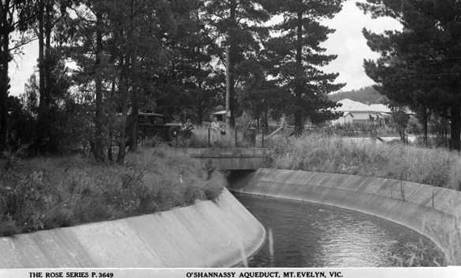
22/03/2017: O’Shanessy Aquaduct Trail:
It starts/ends at the original weir built
in 1914 just below the current large dam which is probably 20 times the
original size. Then continues for about 40 km until it meets up with the
aqueduct from Badger weir Healesville. You can now walk along the
decommissioned section. There is an internet page about the story. http://oshannassyaqueduct.weebly.com/
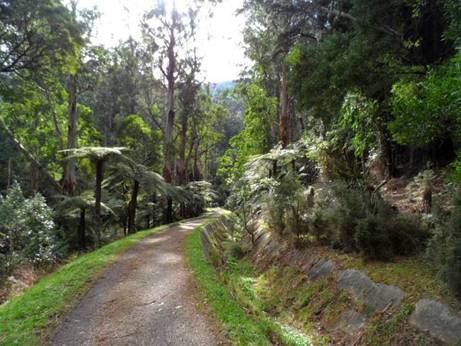
‘The trail runs in parallel with
the Warburton Rail Trail, however, the O’Shannassy Trail is set into the
mountain ranges, and therefore provides a different perspective to the
environment. Surrounded by tall trees, and ferns, the trail follows the
historic open channelled O’Shannassy Aqueduct, and allows for spectacular views
of the
Warburton is in the middle of the trail.
The trail is on the north side of the Yarra. About 700 metres from the Yarra to
the aqueduct on a well marked path. It's a good alternative to the rail trail
and you can also access the weir from the Warburton -
If you finished the Upper Yarra Track at
Big Pats Creek, you could walk into Warburton, then cross the Yarra and go up
hill on

If you are exiting the Upper Yarra Track from Big Pat's Creek Road you could instead of walking towards Warburton turn right and head upriver for a couple of kilometres to Cement Creek road and that takes you to the aqueduct via a place called Redwood Forest that has become really popular and has a huge cleared area for camping plus the clear cement creek. Map available here: http://www.visitwarburton.com.au/activity/oshannassy-aqueduct-trail ’
22/03/2017: O’Shanessy Aquaduct Trail:
It starts/ends at the original weir built
in 1914 just below the current large dam which is probably 20 times the
original size. Then continues for about 40 km until it meets up with the
aqueduct from Badger weir Healesville. You can now walk along the
decommissioned section. There is an internet page about the story. http://oshannassyaqueduct.weebly.com/

‘The trail runs in parallel with
the Warburton Rail Trail, however, the O’Shannassy Trail is set into the
mountain ranges, and therefore provides a different perspective to the
environment. Surrounded by tall trees, and ferns, the trail follows the
historic open channelled O’Shannassy Aqueduct, and allows for spectacular views
of the

Warburton is in the middle of the trail.
The trail is on the north side of the Yarra. About 700 metres from the Yarra to
the aqueduct on a well marked path. It's a good alternative to the rail trail
and you can also access the weir from the Warburton -

If you finished the Upper Yarra Track at
Big Pats Creek, you could walk into Warburton, then cross the Yarra and go up
hill on
If you are exiting the Upper Yarra Track from Big Pat's Creek Road you could instead of walking towards Warburton turn right and head upriver for a couple of kilometres to Cement Creek road and that takes you to the aqueduct via a place called Redwood Forest that has become really popular and has a huge cleared area for camping plus the clear cement creek. Map available here: http://www.visitwarburton.com.au/activity/oshannassy-aqueduct-trail ’
14/02/2017: An Excursion to the
‘After bathing in the Thompson, which we found about up to our waists, and very cold, we had breakfast, and made another start. We crossed the bridge and ascended the opposite hill. The track was good, and after a time we got among the green saplings and wattles. They were about 9 inches at the butt and about 30 feet high. They grew thickly on each side of the track, and were often fallen across it. So we continued for about 2 miles, apparently keeping near the ridge of a spur. At this point the track turned a little off the ridge to the right, crossing the head of a valley, which ran south, to join the Thompson.
Just as we got across this valley we came to a pile of huge granite holders, and from this spot we got a fine view down the valley, and up the Thompson, with Mount Baw Baw in the back ground. Just beyond there was a heavy fall of dead, timber, which we got past with some difficulty. The track was again clear for a little. It then crossed the ridge, and we got on to a sideling sloping to our left. Here we came to another heavy fall of dead timber. Some logs 100 feet long and several feet through at the butt had fallen across the track, bringing down with them great quantities of the sap-lings and wattles. The track was blocked in this way for 100 yards or more. We had to endeavor to carry our packs over the obstacle, and then find places where the horse would jump the logs, or they were sufficiently broken to enable him to scramble over them, and move the saplings for him to get there.
We loaded again, and proceeded a few hundred yards. Here we came to a worse
block, and extending a long way ahead. It had taken us two hours hard work to
traverse the eighth of a mile. We were then 12 miles from
On our return to the granite knoll we admired the view at greater leisure. The undulating ridge of the plateau, covered with foliage of diverse tints; the red of the gum saplings contrasting with the deep green of the wattles and the huge black and white trunks that at intervals towered above it. In the back ground were Mt. Baw Baw appearing as an isolated group of rounded pyramids or conical domes rising to a great height above the plateau on the south-east, and that notwithstanding that the granite knoll was 2600 feet above M'Mahon's, or between 3000 and 1000 feet above the sea, and the ground between us and Baw Baw was rising. We returned to the Thompson, and camped a second time upon the same spot.
The next day we left our camp standing and walked to the Yarra to have
another cooler at the falls. We had a pleasant walk through the beech forest,
the dark shade of which was set off by the straggling gleams of bright sunlight
which found their way between the trees. We had lunch under a small fall. A
little above this was a great fall, which was shaded by the ferns, and very
pretty. We then began to descend the great fall from the top, keeping near the
edge of the creek, and saw a fine series of cascades. Still, we could see but a
small por-tion at once. After getting over 100 or 200 feet, we came to a high
rock, jutting out on the left bank of the stream. To the top of this we
climbed, and were rewarded with a magnificent view. The face of the fall was
visible for 300 or 400 feet, the upper and lower portion gleaming through a
pale green veil of ti-tree. Looking outwards, we could see far down the
The next day we struck our camp on the Thompson, and for the two succeeding
days we proceeded without difficulty till we got to
At tbe foot of
We were not a little glad when we again made the Excelsior shaft. After this the travelling was easy. On reaching the place where the old track turned off to Alderman's Creek, we thought we would follow it and camp there. But finding the descent would be very great, we turned back and camped on the ridge, which the supply of water in the hut enabled us to do.
The next day we set out for Reefton. Not withstanding the rain which had taken place, the little water holes were quite dry. Going down the thick spur we had a fine view of a nameless mountain mass on the opposite side of the Yarra, whose steep and rugged sides were seamed with an irregular network of foliage. We descended the deep spur, and arrived at Reefton. We had eaten up all our provisions, our boots were nearly worn off our feet, our garments were ragged, but we were in good spirits, for we had seen the falls.
Here we met Mr. Lewis, and were hospitably entertained by him and his wife,
which we thoroughly appreciated, and next day left for the metropolis. On
reaching
When I arrived at the river, I saw cattle tracks along the bank and knew there must be somebody living not far off. After following it down for about three miles, I suddenly came upon a selector's bark mansion. To my surprise there were some girls outside, more surprised than I was, not only as to my state of dress, but as to where I had come from, as there had not been anybody through this part for about five years. After regaling myself with a delicious glass of gooseberry wine, I passed on to the next crossing, where a miner lives, who kindly gave me a good tea and put me on the track to Mount Lookout a distance of two miles, uphill all the way (by the clock), where I arrived at eleven o'clock at night, and was refused a bed till I convinced the proprietor that I was not a sun-downer on the wallaby track.
... It would have taken at least a week to do the four miles after I left you with the pack horse." We saw lyre birds at intervals all the way along the South Dividing Range of the Yarra, and thence as far as we went, and we also saw trace of wombats, and we killed a snake on Mount Horsefall, bnt we neither saw nor heard any other animals, whether birds or beasts. This absence of life made the part we passed through particularly silent, except for the sound of the wind among the trees, or of falling water when we were near the Yarra, Different members of the party drew com-parisons between the Yarra Falls and other waterfalls they had seen— the Stevenson, the Erskine, the Watts, the Eurobbin, the Wentworth, the Wannon.
In general character the
I saw none of these slides on the Yarra, the fall being broken by short slopes only. While the Yarra falls over the edge of a precipitous and wooded declivity, the Watts rushes down the bottom of a vast and steep gorge between Mount Juliet and Mount Strickland, the wooded sides of which descend to the water's edge in steep unbroken slopes of, I should say, at least 2000 feet. As compared with the Eurobbin Falls in Victoria and the Wentworth in New South Wales, the Yarra Falls were considered to contain more water, but do not present the feature of an unbroken fall of vast height which distinguishes the former. As compared with the Loutit Bay Falls, I do not think I saw on the Yarra any one cascade unbroken by steps as high as the Splitter's Falls, or even as the falls of the Erskine. But both these latter falls are seen from valleys where the view is much shut in, and where consequently, the actual height is not liable to be dwarfed by comparison with greater heights or depths.
A further question that may arise is how far the
There is a certain pleasure to be derived from encountering and surmounting
difficulties. The mind is completely taken out of its accustomed train by the
immediate necessity of devoting the whole attention to the passing incidents of
the journey. The extent to which this is the case few people will conceive who
have never taken a trip of the kind. One appears to forget, for the time,
everyday life, as if he had been all his life a wanderer in the wilderness. To
those who look at things in this light I would recommend a trip to the
At the present time settlement is prevented by the inaccessible nature of the country, but this would not be a permanent obstacle ; a little engineering skill would no doubt carry a dray road on to the plateau, after which there would bo no further difficulty, except from vegetation. Some years hence, therefore, there may be a movement to take up this country. Since my return I have been questioned as to the character of the soil; I said it was good, but of course no grass would grow under the timber, "That," the answer was, "is a small matter. If the soil is good it is easy to ring the trees."
It is a matter, therefore, for consideration what ought to be done in anticipation of such a movement. It would add to the colony some square miles of summer pastures and perhaps of cornfields, but it would have other effects of a different character. The snow no longer shaded by the dark foliage of the beech trees would, melt more rapidly. The ground exposed to the summer sun would harden and absorb less water, and there would be a probable diminution of the rainfall, The result would be disastrous floods in the spring when the snow melted, followed by a quickly diminished pe-manent flow of the stream during the summer. It would seem well, therefore, that some steps should be taken permanently to preserve these forests in their present state. How far this is now done incidentally by reason of tbe country being included in auriferous reserves I do not know.’
Turns out there is still more to find out about the
‘State Party Marooned. Trafalgar and Yarragon Times Friday 8th February 1918.
Tourist Hut Gives Shelter.
Under the above heading the Herald on Monday last says:-
When the storm broke on Saturday a Parliamentary and departmental party led by Mr. Barnes, M.L.A., which was returning on horseback from a trip to the head of the Yarra to inspect the district timber resources took shelter in the tourist hut near Yarra Falls.
"The rain fell in bucketsfull", said one member of the party today in describing his experience.
"Men and horse soon looked as if they had been wading through a stream. Our boots were full of water. When we reached the tourist hut we had to strip off our clothes and dry them at a fire. While our clothes dried we had to be content with less raiment than is ordinarily worn in the busy haunts. We had a Railway Department photographer with us but he refrained from snapshoting us as we wore rags and other coverings, which are stored at the hut. We stayed all Saturday night at the hut, and left on Sunday morning."
The party, in addition to Mr. Barnes consisted of Mr. M. Hannah, M.L.A. vice-chairman, and members of the New Industries Institute.’
Once again I am grateful to Thomas Osburg for finding and sharing these historic treasures.
See also:
http://www.theultralighthiker.com/a-trip-to-the-upper-yarra-in-1907-camping-near-mcveighs/
http://www.theultralighthiker.com/yarra-falls-shelter-house/
http://www.theultralighthiker.com/from-1925-the-baw-baw-track-notes-of-a-recent-visit/
http://www.theultralighthiker.com/secrets-of-the-yarra-walshs-creek-yarra-falls/
http://www.theultralighthiker.com/yarra-falls-3/
10/02/2017: Escaping the Heat: Who needs an air
conditioner? Go up a thousand metres and you lose approx 8C. The Baw Baw
Plateau this week has been beautiful with maximums in the low twenties whilst
folks below in the
There are lots of spots you can camp all along eg the Forty Mile Break Rd
(North of Noojee) which is mown to a width of nearly two chains all around the magnificent
mountain ash which form a broad avenue along it. Certainly one of the five most
beautiful (2WD) roads in
Here we are set up in a sheltered shady spot atop Mt Horsefall – with even a mobile and internet connection!
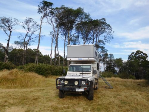
The view out our front door.
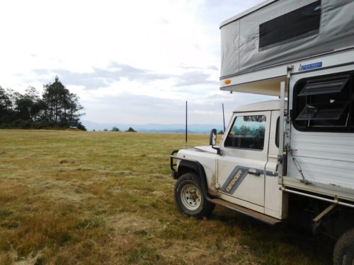
Spot takes a closer look at that magnificent view over the

Of course we were even able to cool off on the way with a quick trip to the
beautiful
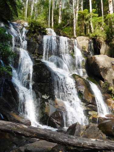
Map: See Rooftop’s ‘
01/02/2017:
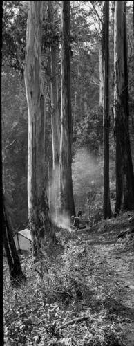
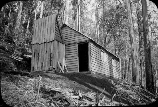
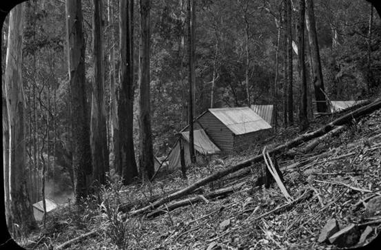
See: http://finnsheep.com/THE%20UPPER%20YARRA%20WALKING%20TRACK.htm
Early
Trips to
Upper
Yarra Falls: To the Editor of the Argus: Sir, Mr. Panton's letter on the
discovery of Mount Donna Buang, that appeared in "the Argus" of the
lst inst, brought back to me recollections of the time-half a century ago when
I was one of the many hardy prospectors who penetrated the dense scrubs and
steep mountain ranges of the Upper Yarra, in search of gold. I have still a
vivid recollection of the night -a most uncomfortable one-I passed with Mr.
Panton on Queen's Birthday Creek, on May 24, 1866; but I think that gentleman
makes an error when he alludes to me as the discoverer of the falls near the
head of the river.
I am under the impression that they were
visited by a party of surveyors in the year 1845. I certainly re-discovered
them in 1867, and named the waterfall (there are several) after Mr. Panton. It
would be a graceful act to abandon the present name (
Yarra
Falls 1888. This is the middle part of a 3 part article. Leader (Melbourne,
Vic. 1862 - 1918), Saturday 22 November 1884, page 16 The Contributor: An Excursion to the
We struck camp next morning at half-past
nine. Just after starting we noticed a tree marked W. From this we understood
that we had been encamped on the two mile water. This made our march of the
previous day a little over 8 miIes, The height of our camp measured by the
barometer was 1700 feet above McMahon's, We proceeded along the south watershed
of the Yarra in a general easterly direction. The prevailing character of the
country was the same as on the evening before, The track was often perceptible
as a sort of avenue through the scrub, though in the clearest places knee deep
in ferns and wire grass and obstructed by logs.
We passed through several saddles
separated by small rills. At about twelve o'clock we could see a great spur
coming in to join the ridge we were following from the north - that is on our
left, This could be nothing else than the right watershed of Alderman's Creek.
We were, therefore, making good progress, and might hope to reach the Yarra
that night. So we went on for another half hour, when our horse, in getting
over a log, slipped and fell. He could not rise again with the pack and we had
to unload him, but he was none the worse.
As we began to ascend the hill we found
the sides and top of it covered with huge logs hundreds of foot long, as if it
had been cleared by a survey party, The interstices between them were filled
with tall bracken and scrub with white flowers, and the track seemed altogether
obliterated. We made our way very slowly round and over the logs, and presently
the horse got another fall, and we had to unload and reload again.
There was a good look out from many places
down the
At about four o'clock we began to descend
a little, and get into a forest, in which the beech tree was the prevailing
timber, though largely mixed with tall gums and messmates. But little
vegetation grows under a beech tree; what there was was the blue gum fern with
the crimped frond I have noticed before. Moreover, the beech tree is seldom
uprooted. It slowly decays as it stands and falls piecemeal, The ground in a
beech forest is therefore encumbered by but little fallen timber.
As soon as we got under the beech trees
the track improved very much. They were mingled, however, with very tall
messmates, from which large quantities of dry bark in strips 4 or 5 inches
across and 30 or 40 feet long or more had fallen to the ground, and lay in
large coils. These continually tangled our feet, and it was difficult to get
free of them, One would continually find one was dragging a tail behind many
feet long. On getting under the beech trees the prevailing tints again changed.
The black earth was bare, and varied shades of brown or dark green met the eye
in every direction.
Towards the south and east the slope was
so steep that we got a look out over Gippsland as far as the ranges in the
neighbourhood of Baw Baw. The earth seemed everywhere moist; in places one
could hear the water under one's feet. The track continued slowly to descend,
and our view became shut in on all sides. About six o’clock we found ourselves
in a saddle. This we identified upon our tracing as about 6 miles from our camp
of the night before And 4 miles from the Yarra. It seemed a likely place to
find water. There were a few beech trees and messmates on the saddle, and a
forest of white gums, tall, slender poles like the mast of a ship, 300 feet
high at the least, with a tuft of foliage at the top. There was a fern tree
gully coming up to the saddle on each side. The earth was black and moist, and
for the most part bare.
R. found a good stream of water a little
way down on the south side of the saddle, so we determined to camp. We pitched
the tent under two beech trees, whose thick foliage would protect us from any
sticks that might be blown off from the gums, and made our bed of fronds cut
from the ferns. When we got up the next morning a strong north wind was blowing,
shaking the tall, white ferns like corn stalks, bending them as if to break
with a great roaring noise. We did not make a start until about half-past ten,
when we at once began to ascend out of the saddle, and soon came out into the
sunshine on to a hill covered with fallen timber and sword grass, and from
which there was a good view of the opposite ranges. The logs had rotted and
broken into fragments, and were therefore not the obstacle they had been on
After a little we again descended into a
beech forest. Here the track was clearer than we had yet found it. It was
obstructed by little else than small sticks. There was a little of the usual
green fern, but except for that the ground was clear of undergrowth on all
sides. The dark foliage of the beech trees overhead shut out the sky. In order
to keep the track it was necessary to keep a sharp look out for blazes.
After about a couple of miles gum trees
again appeared mixed with the beech trees, and we were again troubled by fallen
timber. About the same time we found growing in the track tall solitary stalks
of grass like oats which shot up with a stem as thick as one's finger, seven or
eight feet high. Finding the horse would eat the two gathered bundles of it, as
we went along. A little after twelve o'clock the horse got another fall getting
over a log. We had to unload, and determined to have lunch.
When we again made a start we found it had
been raining heavily, and that the scrub was very wet. In a little while we got
out of the beech forest, and began to ascend a hill covered with tall standing
gums and thick bracken up to our shoulders. Through this we pushed our way,
getting drenched through. When we gained the top of the hill we found our track
appeared to leave the ridge, and turn down the sideling to the north-east.
After turning down on the sideling we were soon again in a beech forest, and
out of the high wet bracken.
In about half a mlle we came to tho creek,
which was broad and shallow, scarcely covering the ground. It crossed the track
from left to right- not from right to left, as marked in our tracing. The
descent from the ridge to this creek was not more than 200 or 300 feet, and not
at all steep, considering it was on a sideling. We crossed the creek and
ascended to tho ridge on the opposite side. Crossing it we descended on a
sideling to the Yarra, which we at once passed over. It was a much smaller
stream than that we have left at McMahon’s, being about 30 feet wide and about
up to our ankles, with, however, a good current.
The scene was a peculiar one. It was still
raining hard. Heavy clouds rested on the tops of the beech trees from 50 to 70
feet above us, which lined the river banks and covered the slopes, and hung in
festoons between them, but below it was clear. We had no time to stand and
watch it, however, being wet through. We had to get to work and camp at once.
In about twenty minutes we had a fire big enough to roast an ox. Having pitched
our tent we looked about for something to make a bed of, and the best thing we
could find was a heap of bark at the foot of a neighbouring messmate. This we
dragged in front of the fire and dried, after which we had our evening meal
round the fire. We stood up round it for some time drying clothes, while the
horse stood warming his nose on the opposite side of the fire. Finally we
turned in.
We were up at six the next morning. There
was still a slight rain, We had breakfast, and at half-past eight we started in
search of the falls. Our camp was shown by the barometer to be 2100 foot above
McMahon’s or only 500 feet lower than the top of
We accordingly started down stream,
crossing a considerable tributary on the right bank just below our camp, Tho
river ran through a beech forest, and as nothing will grow under the beech
trees, its banks were without that fringe of peculiar vegetation which is
usually such a marked feature in an Australian river or creek. After a little
we went over to the left bank, and crossed a small creek which joined the river
on that bank, we then came upon a series of small hills, perhaps altogether
fifty or sixty, There was, however, a good indication of something better. We
could see a light through the trees ahead as from a largo clearing. This
appearance could only be occasioned by the edge of an abrupt declivity.
We pushed on and soon began to get
glimpses of a valley a long way below us, and to hear tho roar of a great fall.
The beech forest ceased with the edge of that declivity, and the slopes below,
when not too steep and bare for anything either to grow or stand on, were
covered with undergrowth, mostly ti-tree. To see the fall we must get below it.
We accordingly descended as rapidly as a regard for our necks would permit
several hundred feet, and made our way on to a ledge down to the water. From
this point we could see the water falling above and below us over a face of
dark rocks in a series of steps. The fall was shaded by ti-tree, with
occasional tree ferns on the ledges. The spray fell like rain. We were too
close to the face of the fall, and tho ledge we were on would not permit us
getting further out.
We were not the first persons who had
viewed the Yarra falls from this spot, for we saw a tree with a blaze on it, on
which was a name, partly overgrown with bark, which we mado out to be A. Burns.
We then crossed over, scrambled along the face of the cliff and made our way
down another hundred feet or two, and got another view of the falls, with,
however, the disadvantage that we were too close to see far up or down. This
point was by the barometer 550 feet below the top of tho fall. We could see the
fall for about 50 feet below it. It was a continuous fall all the way,
interrupted only by small ledges. There is, however, no reason to suppose that
the lowest point to which we could see was anywhere near the bottom of the
fall. Judging from the appearance of the valley it was far from being so. The
total height of the fall therefore, can scarcely be less than 700 feet or 900
feet; it is probably 1000 feet.
We had not seen by any means as much of the
falls as we should have liked, but we were compelled to return. It was Tuesday,
and R. had to be In a distant part of
In returning we got a view of a great
cascade, forming the top-most rip on the fall, which we had not seen going
down. By half-past one we had regained our camp. We then bathed in the Yarra,
had lunch, struck our camp, and started for the Thompson, where we hoped to
camp that night. It was shown by our tracing to be 4 miles distant. The track
in the first instance followed the ridge of the very low spur between the main
arm of the Yarra and tho tributary that joined it just below our camp. After a
little the track forked; we took, the left fork, which took us down to the
tributary at a point where two creeks united to form it; beyond this the track
was not apparent.
After a little we found a place where a
tent had been pitched, with a rude platform of round timber to raise it off the
ground. We had evidently come upon an old surveyor's camp. That explained how
it was that the track ran out. We accordingly returned and took tho right hand
fork of the track. After we had gone about three quarters of a mile the track
turned down to and crossed the creek on our left, and shortly afterwards began
to ascend a ridge on a sideling. The top of this ridge was not. more than 100
feet or so above our camp. On it we found white gum timber. The ridge was
narrow, and the track immediately descended on a sideling on the other side,
about 300 feet into a narrow valley containing a fine stream of water. The
sides of the valley were lined with beech trees, with a few tree ferns. This
creek must form the right fork of the Yarra as laid down on the maps; and as
its level appeared lower than the top of the falls, must join, the left fork
below them.
Crossing the creek we ascended on a steep
sideling on the other side to a height somewhat greater than that from which we
had descended, and found ourselves in a forest of white gums mixed with beech
trees, with a good deal of undergrowth. The creek, however, continued tolerably
clear. We were now upon the crest of the dividing range, between the waters of
the Yarra and the Thompson, marked on the maps as Wright's Range. A little
before seven o'clock the track began to descend gently, and we reached a fine
stream of water crossing the track from north to south, spanned by a good log
bridge. This stream, which was much larger than either fork of the Yarra, or, I
should say, than both of them together, we made out to be the Thompson. Here we
determined to camp.
A little way up from the river, to the
right of the track we had come by we found an open glade carpeted with good
grass. On this were the remains of an old survey camp, consisting of log
platforms, similar to that we had noticed on the Yarra. There appeared to be a
succession of rich glades along the river, divided only by low scrub, tall
timber not being found till some little way up the slopes on either side. There
was, therefore, a clear view up and down tho river for some way over the top of
the scrub. We could see the sky, too, overhead and in front of us. All this was
a change after the dense grass through which we had been travelling for the
last four days, The edge of the other valley was lined with large white gums,
say 100 foot high, with straight, thick limbs tapering to the top, and wide
spreading arms a little more than half way up. The slopes behind were covered
with a mass of plants of different kinds. Every here and there above this rose
to a great height huge logs, white with age and black with fire, without limbs,
broken at the top.
Though generally impressed by the view,
there was a feeling of solitude connected with this camp not experienced
elsewhere in the course of this trip. The height of this camp was 2300 feet
above McMahon’s, or only 100 feet lower than our camp on the Yarra. We were
still, however, above a high plateau, as high or higher than the top of
30/01/2017: Restore Pdf Maps Functionality: I recommended this App back in Nov ’14: http://www.theultralighthiker.com/gps-phone-apps-25k-vicmaps/ Many folks have probably noticed that their Pdf Maps App has updated to Avenza and that now they are only able to open three maps for free instead of an unlimited number of maps, and that Avenza would like them to pay over $30 per year to restore the functionality they had before!

As I understand it, Pdf Maps (version 1.7.3) is free software –
This Youtube (and others) tells you how to uninstall Avenza and put Pdf Maps in its place. You have to be sure to cancel the ‘Update’ function so this doesn’t happen to you again. Once again you will be able to open an unlimited number of Pdf maps for free - such as can be bought from: http://services.land.vic.gov.au/maps/imf/search/Topo30Front.jsp some of which you may need to walk The Upper Yarra Track, for example: http://finnsheep.com/THE%20UPPER%20YARRA%20WALKING%20TRACK.htm
Happy mapping!
27/01/2017: A trip
to the
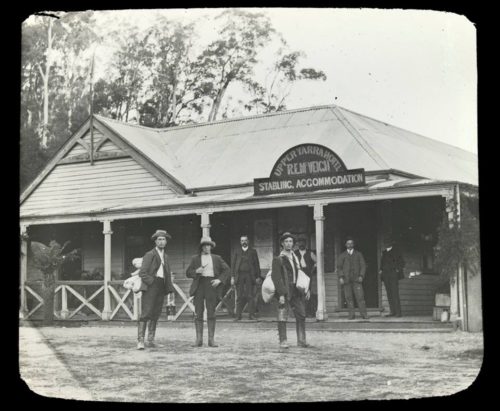
‘On the morning of the 9th inst. a party of seven, consisting of a councillor (hereafter called " The General"), his two sons (" The Farrier" and "The Baker"), a local chemist (" Dr. Pills") and* his son (" Norme"), a contractor known as "The Champion" (tea drinker), and the son of one of Kew's oldest councillors (known as "Captain Moonlight"), left Kew at 8 P.m. with a caravan drawn by two small horses, and two bicycles, en route to the falls at the source of the Yarra River.
Brushy Creek (16 miles) was reached, and a halt was made for lunch, thence through Lilydale to Worri Yallock (32 miles), where the camp was pitched for the night. Fishing was indulged in at night and shooting in the morning.
January 10 -A start was made at 8.30, but at Oak Hill (a few miles further on) the hames broke, and a .new pair had to be purchased. Another start was proposed, but one of the horses objected; consequently, the services of a draught horse were called into requisition, and the whole caravan was safely towed up to the top of this steep hill. Launching Place was reached at 11.30, where the midday meal was disposed of. One thirty to 2 p.m. was occupied in covering the distance to Yarra Junction, where a halt was made until 4 30 p.m. There negotiations were made for the hire of a pair of heavier horses, which were secured at the exorbitant (save the mark !) fee of 10s per day for two horses, a driver, and the keep of the horses. The party then pushed on to the Little Yarra and camped for the night, and were joined at 9 p.m. by "The Measurer."
January 11 -We were met by the driver with the two hired horses, and a start
was made at 7.40 a.m., and we passed through Old Warburton, the new
Here and there bridges have been thrown across the river to connect the settlers on the far side of the river with civilisation on this. The whole scene is picturesque. The timber trade with this railway station is enormous - timber trains are sprung upon you at nearly every turn of the road, and the cartage from outlying districts by bullock wagons has cut the roads up terribly. For the past two years (so we were informed, and we could readily believe it) no attempt at repairs has been made. The consequence is that from this point onwards you have to keep your eyes open continuously for large holes and deep ruts. The balance of the roadway is covered inches deep in dust.
Having laid in a further supply of provisions, we pushed on to Sunnydale (3 miles), where we camped for dinner. This spot is as pleasant a one as the eye could rest upon. The river is almost horse-shoe shape, the soil is of a chocolate volcanic origin, planted with English grasses, and the cattle grazing thereon were in prime condition. The beautiful green tinge of the grass, contrasted very strongly with the brown, sunburnt, natural grasses hitherto met with. Having refreshed the inner man and consoled ourselves with a game of crib, we set out for Starvation Creek, where we purposed camping for the night.
Some three miles short of our destination we were overtaken by two young men on rather flash horses, from whom we made enquiries as to the distance yet to be covered. They were as deficient in knowledge of the locality (if not more so) as we were ourselves. At the conclusion of our inquiries our "corner man"- mounted on his white charger, wearing blue dungarees and leggings, minus a coat, shirt-sleeves rolled up, and hat well drawn down over his eyes - asked, in sonorous tones, " Have you got any money?" The elder youth laughed, but the younger lad's face blanched, and he edged his horse away quick and lively. Thereafter our corner man was known as "Captain Moonlight."
Starvation Creek was reached about 6 p.m., and immediately on passing over the bridge your eyes were drawn to a signboard affixed to a tree, bearing the name, "Starvation Creek" Fastened on to the sign-board was the dry thigh-bone of a bullock, indicative of miners' results in fossicking for gold at that place. We pitched our camp on the flat, and, after tea, went fishing.
At 10 30, when the last of us were retiring for the night, we were attracted by the sound of bullock teams approaching, and, shortly afterwards, two wagons, loaded with 1500 palings each, and drawn by 16 and 14 bullocks respectively, hove in sight. Here, also, the drivers camped for the night, the bullocks being let loose (each with a bell round its neck) to forage as best they may. The bullock drivers had been at work since 5 a.m. They made their bed on some dozen bags of chaff, under a tarpaulin covering, which had been left there by Mr Buller, of the store at McMahon's Creek, three miles further on. Mr Buller is accustomed to leaving half his load at this point on account of the steep hill between Starvation Creek and McMahon's Creek, and so great is the code of honesty in this part that he has never been known to lose a bag.
January 12 -Up at 5.30 a m., our usual hour, and after bathing, breakfast,
and repairing punctured bicycle tyres, the two cyclists covered the three miles
to McMahon's Creek in 25 minutes, notwithstanding the hills and dust. The
peculiarity of this dust, viz., powdered schist rock was that no matter, what
its depth you could always ride through it. A similar depth of dust around
By 12.30 we reached the old mining town of
McVeigh's hotel, at Walsh's Creek, was reached at 5 p.m., and our camp was pitched about a quarter of a mile beyond his house, at the junction of the Wood's Point and Clear Creek roads. Owing to the kindness of Mr McVeigh, five of our number (now increased to 11) were able to sleep in a tent he has had permanently erected on the roadside on a wooden floor, and under a bark roof instead of a fly. Here we met Jimmy Clark, the man who cut the track to the Falls, and received full instructions as to the route to be taken.
Here two curious incidents were noted. The whole of this portion of the
country has been permanently reserved for future water supply purposes for
January 13 -After an early breakfast we started to pack our four horses in a peculiarly up-to-date style of our own, and just before starting, at 10.55, a photo was taken of the turnout. It will be interesting to see how they develop. From this point to the Falls Creek (16 miles) a pack track is followed, which for the most part skirts the Yarra. It is good solid plugging following this track up hill and down dale. At first the four horses were led, but "The General" soon became full of "Captain Moonlight's" charger, and practised his 'prentice hand at bullock driving, and was successful in soon reducing his steed to a worthy pack-horse.
At 2.10 (7 miles) we reached Contention Camp (Bromley's Reef Goldmine), but of this you shall hear more later on. After dinner we caught a few fish, and then pushed on with the intention of camping at Fall's Creek, but at Poverty Bend (3 miles short) we were blocked by fallen timber and had to camp for the night on the track. Bed was sought at 9 p.m. About 11.30 p m. one of our number was awakened by a crashing sound, and on investigation it was found that one of the horses had got loose and had fallen off the track. All hands turned out, and until 2 am axes and tomahawks were used in cutting away timber to free the poor brute, who was jammed between two saplings, with his feet hanging over the creek.
After two and a-half hours' solid graft we were able to pull the horse clear and roll him into the creek, about 2ft. deep. Then "The General" and "The Champion," with lantern and axe, proceeded to lead the horse along the bed of the creek to the crossing, about 200 yards up, but being blocked by fallen timber, tethered him on the further bank for the night, and repaired to the camp-fire to dry their boots and socks. A billy of tea was soon brewed, and bed once more sought.
January 14 -A stir was made at 5.15 a.m., and a reconnoitre being made, it was found necessary to cut a zig-zag track up which to lead the horse. The barometer gave the fall of 47ft. down a 1 in 1 slope. At 9.30 a start was made, the horses being left behind with the driver, as the track was blocked. Falls Creek was reached at 10.30, after passing through a forest of beautiful beech trees, the timber previously being black butt and stringy bark. Here we found the brand of Mr A. J. Campbell, of the Mines Department, on a sassafras tree.
Mr Campbell gave the height of the Falls Creek as 1760ft. above sea level. Our barometer gave only 1550ft. From this point there is a steady climb of two miles and a-half up the spur, rising over 1000ft. in that distance. Turning to the right we reached the top of the falls at midday, where we had lunch. Four different photos of the falls were taken. Owing to want of time and shortness of provisions we were unable to climb from the top to the bottom - a distance of 700ft in less than half-a-mile.
The sight was one of exceeding grandeur, double falls, single falls, and cascades following one another in quick succession. The country itself was disappointing-trees there certainly were in plenty, but small plant life was rare. Snow lies on these mountains (2800ft. above sea level) for about eight months of the year. The water which soaks into the schist rock, of which the whole of these mountains are composed, freezes, and, expanding, splits the surface stones along their cleavage planes, thus rendering it exceedingly dangerous when climbing in parties. Once a stone is loosened from its bedding, it thunders down the hill and over the precipices (many of them from 50 to 100ft.), and never ceases until the foot of the falls is reached. One should never die of thirst in this country, but animal and bird life are practically an unknown quantity. At 2.10 p.m. we set out on our return picked up our horses at Poverty Bend at 4.15, had afternoon tea, and pushed on to Bromley's Reef and pitched camp at 7.15.
January 15 - After breakfast, Mr Victor, the manager of the mine, which is the first opened up in this country, very kindly showed us all that there was to be seen. Two reefs have been discovered. No. 1 gave 4580z. from 130 tons; No. 2, about 150ft. west, 17oz from 15 tons. No. 2 is being worked at present. From the side of the hill a tunnel runs 160ft. west, and then the drive turns up north and south along the reef 130ft., which outcrops on the surface 60ft. above. The stone is run out on the trucks, and then sledged down to the 4-head battery worked by waterpower. The cost from first to last works out at 16s. per ton. From the battery a tunnel is being driven on a grade of 4ft. in 100ft. to intercept the No. 1 reef, which outcrops on the surface 670ft south, and has been opened out to a depth of 130ft, showing a reef 2ft. in thickness, carrying good gold the whole way. This tunnel has already been opened out 490ft., and it is expected that in nine weeks the shaft will be reached. Steel rails are being laid for the tram track in this tunnel, and it is the intention to tunnel across to No. reef, which will mean a considerable reduction in working expenses. The mine has been floated into a company of 30,000 shares at 5s. each, half paid up, and today are quoted on the market at 6s. 2d. The Hon. E. Miller is chairman of directors. I believe there is a big future before this district as regards mining. Our camp at McVeigh's was reached at 1.50 pm, and the rest of the day was devoted to fishing.
January 16 - At 10 a.m. a start on the return home was made. We camped for
the night at Big Pat's Creek, and reached Little Yarra at 1 pm. on the 17th.
There half the party returned by the night train, the remainder visited the
22/01/2017:
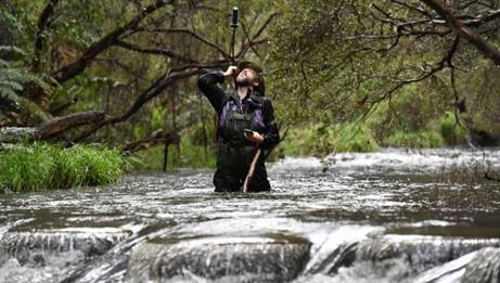
22/01/2017: From 1925: The Baw Baw Track: Notes of a Recent Visit By R. H. Croll: This is the track on which so many novices metaphorically lay their bones. For some reason it has caught the popular fancy, with the result that the budding walker, in all the discomfort of improper equipment, frequently makes it his first, and last, essay with the swag. He brings back a tale of trying tracks, of steep gradients, and bleak uplands, often in curious contrast with the accounts of more seasoned trampers.
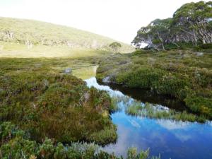
Freemans Flat between Mts Baw Baw & St Phillack
The truth is that few of the 50 miles between Walsh's Creek (McVeigh's) on the Upper Yarra and the railhead at Walhalla-the 50 miles which constitute the so-called "Baw Baw Track" are easy miles, but they are well within the compass of any pedestrian who is capable of' carrying a 30 pound pack up a fairly graded hill, or has the means to hire a packhorse to do it for him. In other words, the way is open to all who are young, and to any whose maturity has really benefited by experience of such outings. It is time indeed that someone spoke plainly regarding the nonsense so commonly printed that the swag is a destroyer of all pleasure on a country tour.
I bear fardels as unwillingly as the next man, and I recognise the obvious fact that it ii easier and more enjoyable to walk free than loaded, but I protest that the pain of carrying one's bed and board are a very small charge (in this world where everything has its price) for the perfect liberty so gained, and that no one need divorce himself from pleasure in doing so.
The Baw Baw track is so named because at its most picturesque stage it traverses the Baw Baw Plateau and gives cosy access, by it side walk of about a mile and a quarter, to the 5,130ft. summit of Mount Baw Baw itself. Three natural divisions mark the route, the first being the stage up the Yarra Valley - a long, slow rise, the next the irregular, but relatively level going of the uplands, the third the rapid descent into Walhalla.
With the commencement of the bridle track at McVeigh's the way is truly the walkers. For nearly 10 miles it is a sidling pad winding just above and always within sight, or at least sound, of the Yarra, here a bubbling stream running at the foot of a steadily deepening valley. Higher and higher grow the hills, well clothed, particularly on the right bank, with tall timber and luxuriant shrubs. The slopes above the river look primeval and untrodden. But the trail is an old one, as old as the early mining rushes, and doubtless those resolute pioneers, the diggers, left little even of this hilly country unexplored in their search for gold. A reminder of the period is the unusual blaze on the timber a T, to signify the Tanjil track.
Just before the 15-mile post, shown in red on a tree two huts come into the picture. Each is of iron, and each is well constructed to meet the needs of tourists, it being understood that these bring their own food and bedding. The newer structure has a cement chimney and cement floor, a couple of large windows, a table, a form, and some boxes for seats, half a dozen billies, a frying-pan, a bucket, an axe, a broom, four stretchers, with spring mattresses (and there are as many more in the neighbouring hut) and about a dozen mugs and plates. There are two rooms available for visitors, the space, over all, being about 50ft. by 11ft. The old hut is much smaller, but is weatherproof, and at least a shelter in rough weather.
On Falls Creek, which, joins the main stream at this point, six picturesque waterfalls occur within a mile and a half of the camping-ground, They are readily accessible, the track to the main fall (the first) being in good order and of on easy grade. The other five take a little more climbing to see. The second stage of the onward journey opens badly with a determined zigzag which joins on to the lower end of a mile-long spur.
As you climb, the Yarra valley recedes on your left flank; below, on the right, are glimpses of the Falls Creek. The timber is large mountain ash in the main mingled with fine samples of silvertop, and later, woollybutt. In the season long lanes of Christmas bush are flowering here. Some groves of beech through which the track winds suggest a stage setting of fairy land in their still beauty. The variety is endless, now a group of giant gums, now beech or wattle groves, now a young forest, here a marshy spot, there a sparkling stream with its sands aglitter with "new chum gold ' always and ever something to attract and hold the attention.
Fourteen miles of this including the first crossing of the
The fact that the next hut, that on the Talbot Peak of Mount Erica, is only
eight miles away should be appreciated for two reasons. The negative one is
that there is much morass to cross, which means slow progress; the positive and
important one is that there is so much to see. A day is all too short in which
to do justice to this section and the surroundings of
The charm of interesting detail gives place to the appeal of great mountains spread as far as sight will carry. That is what one gains from the windows of Talbot hut, for this last and smallest of all the shelter houses is perched on the edge of a great declivity which drops swiftly some four thousand feet. Across the gulf rise endless mountain chains, their scoring valleys clearly indicated in the evening light. Hours may be spent picking out Feathertop and Welington, Ben Cruachan and other giants and speculating over those more difficult of identification, while all the time there sinks into the consciousness the wonderful blues of the high places, the play of light and shadow over unending miles of broken country, the grandeur of lofty peaks and the amazing deeps below them. Speaking as one who has looked from many of the high hills of the State I find this view very difficult to excel.
Now comes the drop to lower levels. The famous descent to Avernus is not swifter than the first three miles when the track begins to dip, which it does directly the point of Erica is passed. In that one league there is a fall of 3,000ft. and in wet weather that can be a true and continuous test of balance. Remarkable rocks are seen, a mill is heard screaming in the forest at the foot of the slide and a bush track leads one by pleasant ways over the 11 1/2 miles into Walhalla, a place well worth visiting in itself, and apparently soon to he numbered with the departed townships. Unless the present ventures revive the gold mining Walhalla in five years may be no more than a blackberry wilderness. Throughout there is no difficulty in following the tracks. They are clearly marked and kept wonderfully free of fallen timber. The department in whose charge they are certainly does its work well.
Thanks to Thomas Osburg, who found this account.
24/12/2016: Yarra Falls 3:
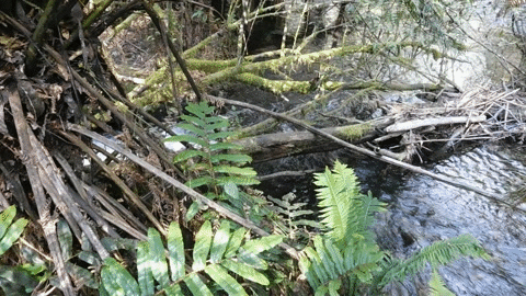
There are some amazing wilderness areas in
S/he writes: 'It is about 11,000 steps in from the main road to here, some very short ones as the terrain is quite steep in places, particularly the last few hundred metres. There is also some horizontal scrub to negotiate, very tricky unless you are shown the way, or keep a careful look out. On the way in you walk North across the head of a gully then follow the ridge (just north of centre) sloping roughly NE for a couple of kilometers until you reach the top of the first waterfall, one of six falling a total of over 250 metres, the highest in Victoria. There is a very small spot you might pitch a tent about fifty metres before the first fall. A hammock or two could be pitched at the falls. There is no water for the next 9,000 steps till you reach the Yarra confluence.
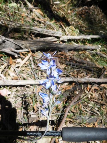
Some beautiful wildflowers on the way.
You cross above the top waterfall, climb diagonally onto the ridge to the West then follow it all the way to the bottom, keeping exactly on the top. After about 2,000 steps there is a view of some of the falls seen poorly through the tall timber. There is a clearish view of probably the second one, whilst others below it, glimpsed only indistinctly give an impression of their immense height. A side track needs to be contoured in from just downhill of this spot to access a better view of these five falls. It used to be possible to climb them on the Eastern (true right) side.
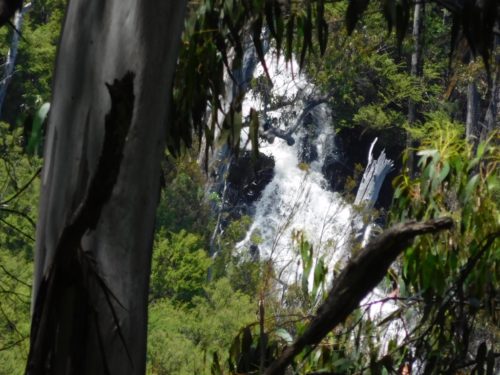
The last couple of hundred metres of the ridge the path leads a little to the left of its centre through some horizontal scrub bringing you out onto the Falls Creek about 100 metres upstream from the confluence. There is a substantial flat area downstream of the creek where several tents could be pitched.
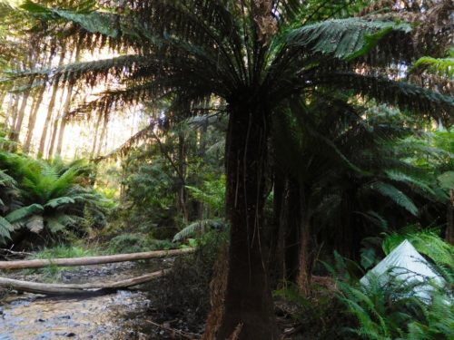
You can camp right on the Yarra here and catch a trout for your breakfast.
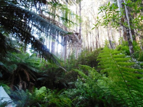
The 'Shelter Hut' was on that ridge above the tent. It would have had a superb view.
Trout are plentiful and easy to catch in this section of the infant Yarra. The old Shelter House used to lie just up the ridge from the river flat on the downstream side of the creek. There are a number of flattish areas where it might have been, but no sign of the concrete chimney, so further investigation is needed. The vegetation here is quite thick.
It is probably not too difficult to push your way from this campsite through
the vegetation up to the base of the
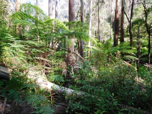
Possibly site of 'Shelter Hut'.
It will take you a day to walk in to the confluence and a day to walk out. Or you can walk in to the top of the first falls and out again in a day. Especially along the ridge the forest litter is probably nearly a foot deep. Underlying it there are many stones. Your feet are constantly rolling on the deep litter, and as you crash through it you are often pitched in unexpected directions by the stones etc. You will need hiking poles to minimise falls but they are quite awkward to use in the densely vegetated sections.' It would be useful if you brought a machete (such as this: https://www.theultralighthiker.com/the-worlds-greatest-machete/) and some pink fluoro tape to improve the path for others.'
See also:
http://www.theultralighthiker.com/yarra-falls/
http://www.theultralighthiker.com/yarra-falls-2/
http://www.theultralighthiker.com/yarra-falls-3/
http://www.theultralighthiker.com/upper-yarra-track-early-visits-to-yarra-falls/
http://archive.bigben.id.au/victoria/melb/yarra_falls.html
http://www.theultralighthiker.com/yarra-falls-1928/
http://www.theultralighthiker.com/upper-yarra-track-historic-photos/
http://www.theultralighthiker.com/1925-sketch-map-of-yarra-falls/
http://www.theultralighthiker.com/upper-yarra-track-heres-a-little-treasure/
http://www.theultralighthiker.com/upper-yarra-track-some-history/
http://www.theultralighthiker.com/upper-yarra-track/
Video of
14/03/2016: Upper Yarra Track Side Trip: Poverty Point: From the Thomson River
Bridge/s (‘Thomson Station’) you can walk a lovely 8 km circuit up along the
West bank of the river then down along the East bank. If I were walking the entire
UYT I would come down to Thomson Station as soon as it joined the Mormon Town
Track and walk up the West bank as it is far more beautiful, and would
otherwise be missed – as would the two excellent campsites to be found along
it. The first only about 200 metres from the main roads is large enough for
several caravans (there was a 25’ one parked there as we walked by). The second
campsite is on a large flat along the river about 300 metres below the
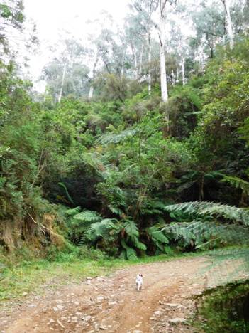
Within 100 yards of the main road you start to see these
beautiful fern gullies. You cross
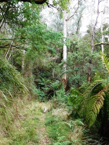
Both tracks follow the routes of old timber tramlines so they are delightful easy going. A Jack Russell like Spot can really tear along them!
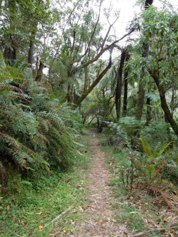
Here he comes again!
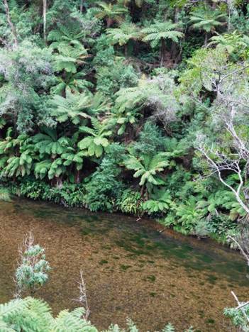
The track on the West side provides splendid views of the
beautiful
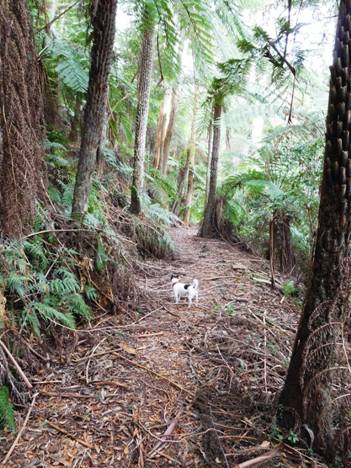
There are plenty of cool, shady areas to stop and rest. Soon you come to the second stream:
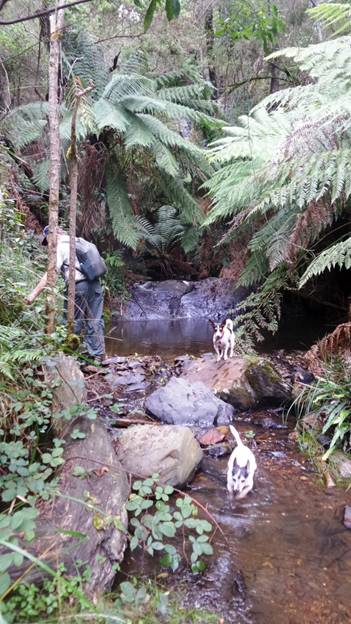
'By channels of coolness the echoes are calling,
And down the dim gorges I hear the creek falling’ Bellbirds, Henry Kendall: http://www.mountainman.com.au/kendall.html
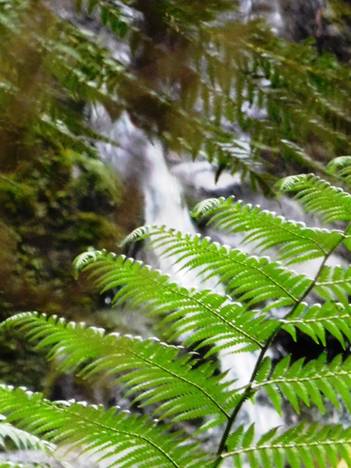
You can dimly glimpse the waterfall above the last photo.
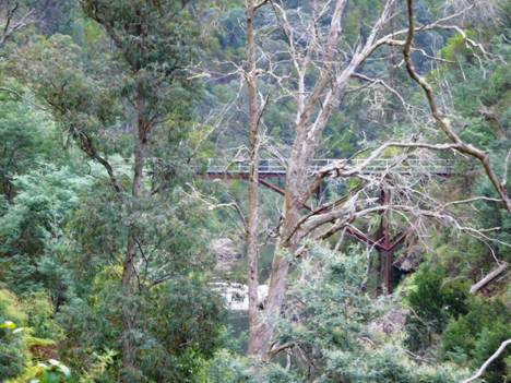
After about 1.5 hours the
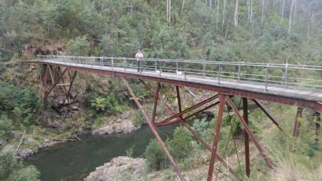
Unbelievably the bridge was constructed (prefabricated) in
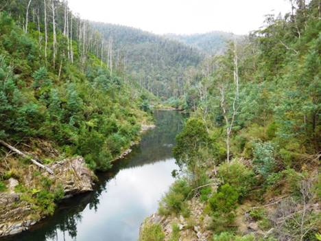
View downstream from the bridge: you can just make out the flat in the river mentioned earlier where you can camp.
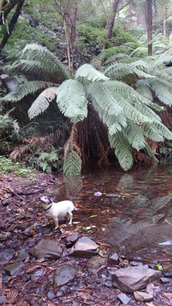
Tiny is 16 but still enjoys a long walk (and a cool puddle). This is a stream on the east bank. She is looking up to a bench where once a timber getter's house stood. They had cellars under their bark huts for milk/cheese (from their goats) and pocket handkerchief vegie gardens up along the streams. Saturday nights they would walk (10 km) into Walhalla to socialise. In the past people had to ‘make do’. They raised a nation of strong, independent people.
Maps for this
section:
Walhalla South T8122-2-S and Avenza Pdf App.
See also:
http://www.finnsheep.com/THE%20UPPER%20YARRA%20WALKING%20TRACK.htm
http://www.finnsheep.com/Track%20Instructions.htm
http://www.theultralighthiker.com/upper-yarra-track-update-section-one-moe-yallourn-rail-trail/
http://www.theultralighthiker.com/upper-yarra-track-update-section-three-wirilda-to-moondarra/
http://www.theultralighthiker.com/upper-yarra-track-section-four-moondarra-to-erica/
http://www.theultralighthiker.com/upper-yarra-track-section-five-erica-to-walhalla/
http://www.theultralighthiker.com/upper-yarra-track-section-nine-phillack-saddle-to-block-10-road/
http://www.theultralighthiker.com/upper-yarra-track-ada-tree-to-big-pats-creek/
See also Upper Yarra Track Winter Route & Side Trips:
http://www.theultralighthiker.com/western-tyers-river-great-for-crays/
http://www.theultralighthiker.com/the-western-tyers/
http://www.finnsheep.com/THE%20UPPER%20YARRA%20WALKING%20TRACK.htm
http://www.theultralighthiker.com/upper-yarra-track-st-gwinear-track-junction-to-whitelaws-hut/
http://www.theultralighthiker.com/upper-yarra-track-summary-cumulative-distancestimes/
http://www.theultralighthiker.com/upper-yarra-track-osheas-mill/
http://www.theultralighthiker.com/a-beautiful-world/
http://www.theultralighthiker.com/upper-yarra-track-winter-route-caringal-scout-camp-tyers-junction/
http://www.theultralighthiker.com/upper-yarra-track-winter-route-western-tyers-to-tanjil-bren/
http://www.theultralighthiker.com/kirchubel-if-you-go-nowhere-else-in-the-world-at-least-go-here/
http://www.theultralighthiker.com/upper-yarra-track-winter-route-downey-to-newlands/
http://www.theultralighthiker.com/upper-yarra-track-glamping-baw-baw-overnight-hike/
http://www.theultralighthiker.com/upper-yarra-track-side-trip-poverty-point/
http://www.theultralighthiker.com/upper-yarra-track-sidetrip-horseshoe-tunnelcoopers-creek/
29/02/2016: Upper Yarra Track Glamping:
Baw Baw Overnight Hike: This is a beautiful glamping trip. You can walk from
the Mushroom Rocks Carpark (just North of Erica - or from the Mt St Gwinear
Carpark) to the
See also:
http://www.theultralighthiker.com/upper-yarra-track-sidetrip-baw-baw-to-mt-st-phillack/
http://www.theultralighthiker.com/upper-yarra-track-section-nine-phillack-saddle-to-block-10-road/
http://www.theultralighthiker.com/upper-yarra-track-baw-baw-to-newlands-rd/
http://www.theultralighthiker.com/upper-yarra-track-st-gwinear-track-junction-to-whitelaws-hut/
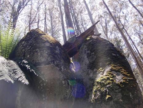
Mushroom Rocks: one of nature's wonders - and a fine place to camp!
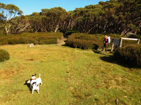
Phillack Saddle - another pleasant camp if you are not up
for the glamping at
24/02/2016: Upper Yarra Track Sidetrip: Baw Baw to Mt St Phillack:
What a way to escape the heat! Others may flock to the
beach. We give our hearts to the mountains. Mt Baw Baw was to be 8C cooler than
home (with no power) and with a delightful cooling 30 kph breeze. When we left
our car at the bottom of
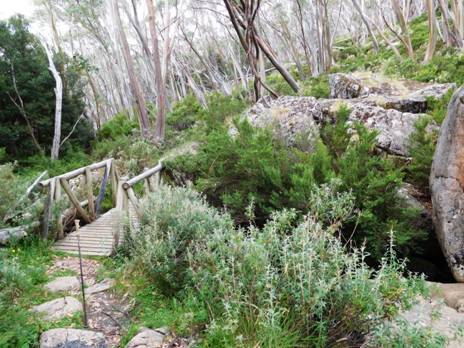
Take Mueller’s track. Just cross this magic bridge – watch out for trolls!
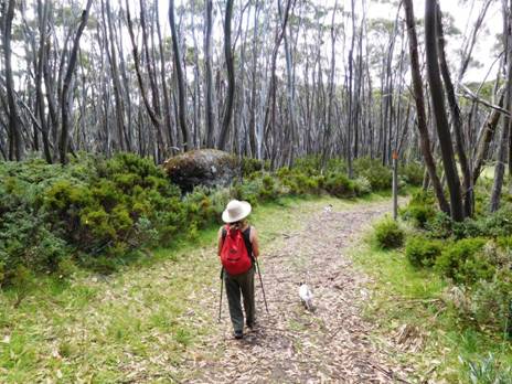
Once more into the bush dear friends!
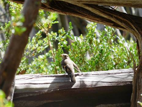
Jackie Winters are as common as sparrows up there.
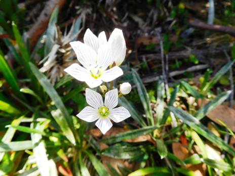
So are native snowdrops! Follow Mueller’s Track. Take every turn to the left until you come to here:
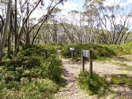
The turnoff to the new (St Gwinear) track near Baragwanath Flat (where the old track also exits – don’t take that!) is impossible to miss. On the way back take every turn to the right. Mt Baw Baw is a maze of tracks. You can wander round in circles for hours! It is very lovely though! The track follows a ridge but crosses two gullies – so water every km.
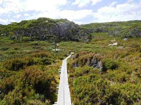
This one is West Tanjil Creek.
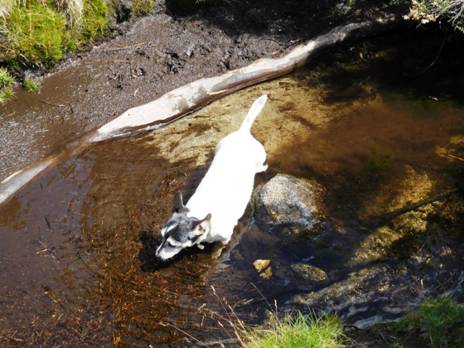
Time for Tiny to have a bath.
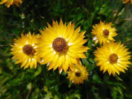
A host of golden everlasting daisies - so much better than those fleeting daffodils!
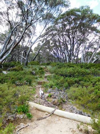
Spot races ahead, then races back. I was calling him back for fear of snakes. We saw none, but there were innumerable very fat skinks. They must store it against the winter cold.
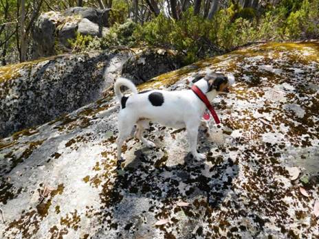
He leaps on a giant tor having similar (lichen) spots to himself.
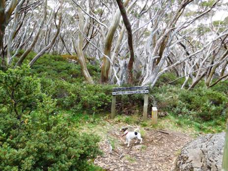
The intersection with the Alps & Upper Yarra Tracks. ‘This is the way we went last week’, says Spot.
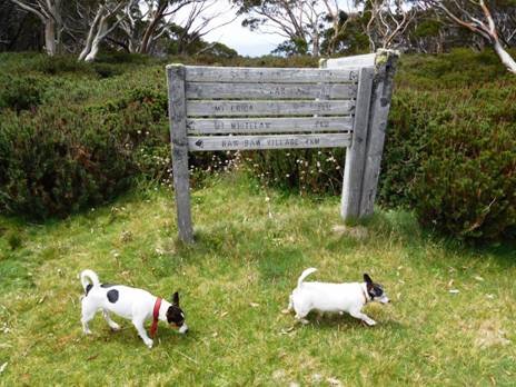
Here we are again at Phillack Saddle (http://www.theultralighthiker.com/upper-yarra-track-section-nine-phillack-saddle-to-block-10-road/ ) Such a delightful place to camp. You can read the track distances if you zoom in (double click). Are we staying again, the dogs want to know. Not this trip.
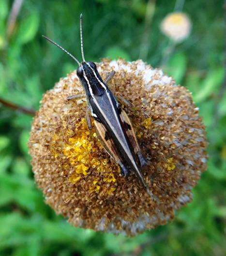
‘To see a World in a Grain of SandAnd a Heaven in a Wild Flower’ (Blake)
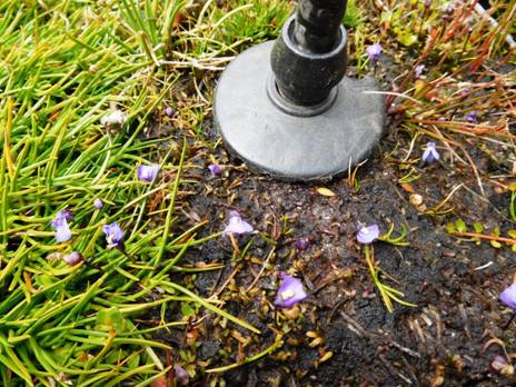
Wonder too at these amazing miniature native violets! The tip of my hiking pole for comparison.
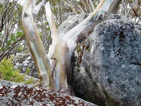
This snow gum has loved this stone ever so long...
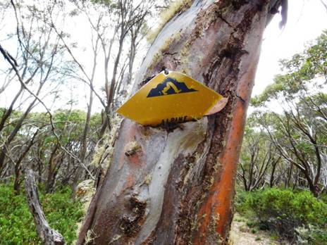
And this one galled by man's cruel sign - anthropomorphism is fun, but do not seek truth that way!
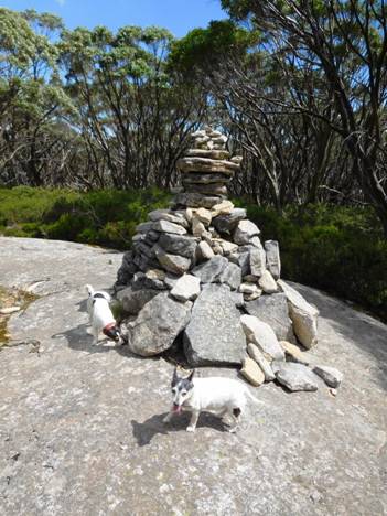
At
last (after 1.5 hours) Mt St Phillack: Spotty barked several times at the
cairn. His opinion is
This is a walk you might do on a summer trip to Mt Baw Baw. There is plenty of accommodation – even a restaurant: https://mountbawbaw.com.au/
23/02/2016: Upper Yarra Track Section Nine: Phillack Saddle to Block 10 Road:
What a lovely section of track! The high country has so much beauty, so many surprises. Phillack Saddle is a wonderful spot to camp on lawns tended by nature’s gardeners amid the alpine heath. There is beautiful clear water just off the saddle and a lovely stream (below) at Freeemans Flat. It will be about 7.5 hours to our car at the Block 10 Road – if we make it!
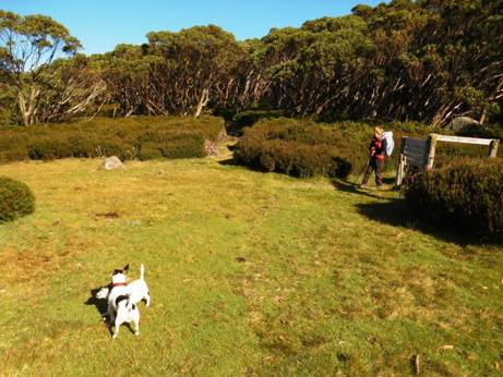
Phillack Saddle

Freemans Flat

100 yards after Phillack Saddle you come to the new track across to Baw Baw
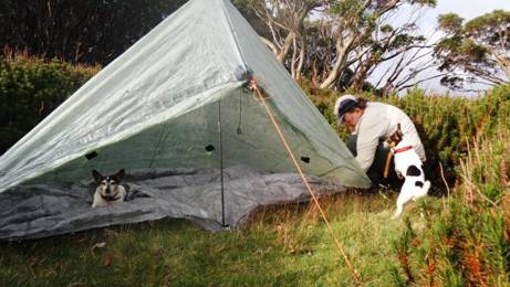
Spot helped put up the Zpacks Solo Plus tent whilst Tiny rested.
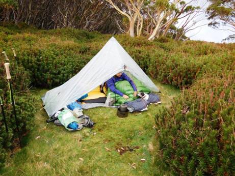
Della and Tiny went to bed early. They are old girls!
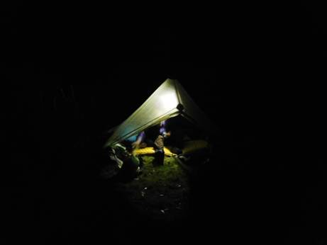
The new Maratac torch makes a great lantern: http://www.theultralighthiker.com/mini-super-torch-a-weeks-light-weighs-50-grams/

Tiny was tired out. She is 16 1/2.
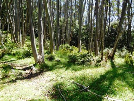
There
are other lovely spots to camp along the way but no water until Whitelaws Hut
and then .5 km after the
The
dogs demonstrate: '
There are many friendly critters along the way: fantail.

'Hurry Up' says Spot.
We are always too slow for him. He is only 3!
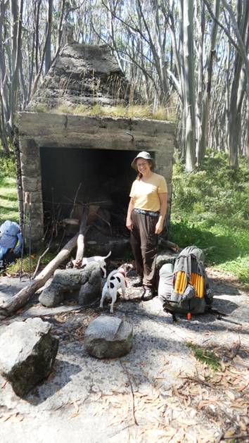
Here we are for lunch at Whitelaws Hut. There are plenty of camps here.
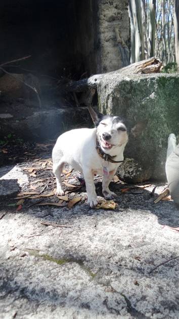
Tiny helped hreself to a muesli bar from my pack when I wasn't looking. Chewy!
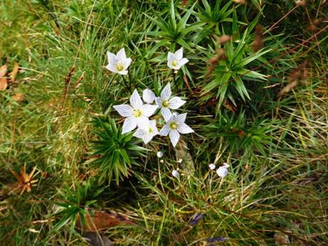
Many beautiful flowers adorn the path.
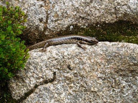
And interesting denizens: this was the fattest skink I have ever seen. Must have been nearly 1" in diameter but only 6" long!
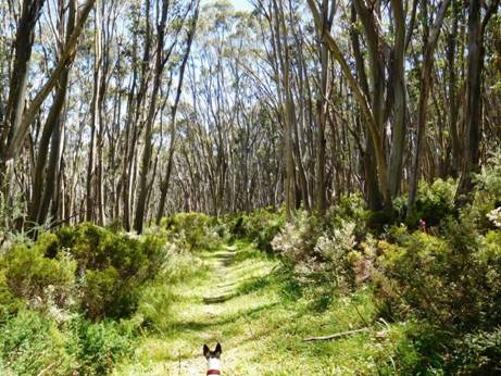
An hour after Whitelaws Hut you hit an old road - which shou;ld be kept clear for emergencies and park maintenance in my opinion, but it is neglected.
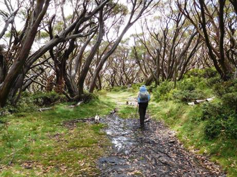
You can easily walk abreast along here.
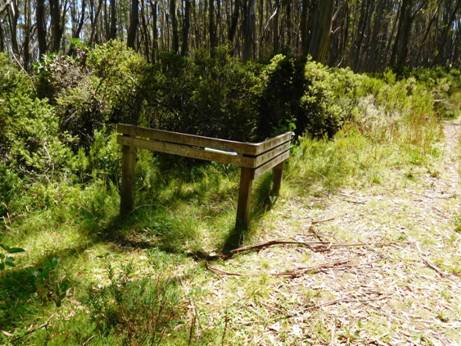
This is the turnoff. Turn downhill, South. Parks have stuffed a hopeless map between the timbers. That is the sum total of their efforts.
There were many beautiful sites in this section, but as much of it needed slashing, Inforgot to take photos.
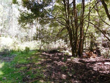
Lots of spots you could camp on the way down to Newlands. There is water as well where you first cross the Thomson - which is 60 cm wide at this point. The road is wide and level.
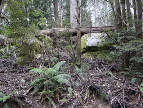
A huge dead tree suddenly crashed down as we passed: There but for fortune...

The Frangipani Saddle - and the skull of a hiker our dogs pulled down and ate!
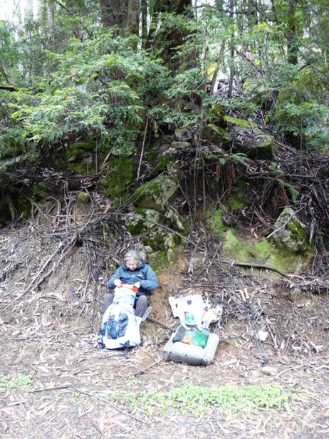
Snack time at Frangipani Saddle.
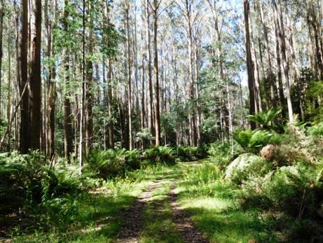
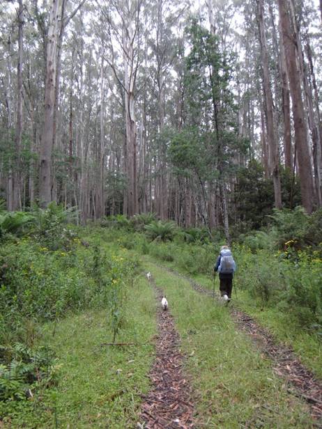
Della striding out once more.
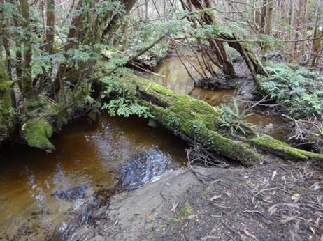
You
cross (and parallel) the diminutive
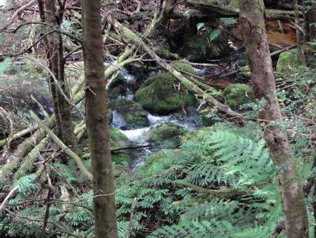
Newlands is just outstandingly beautiful...
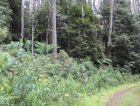
And no cars...
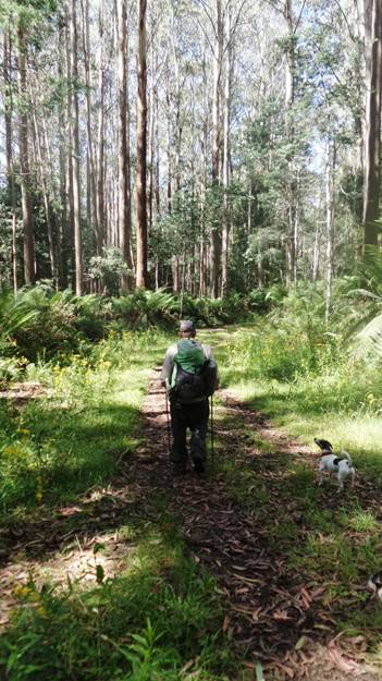
Just the bush, Spot and Tiny, and us.
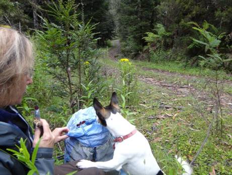
Anything for me, Della? Smackos?
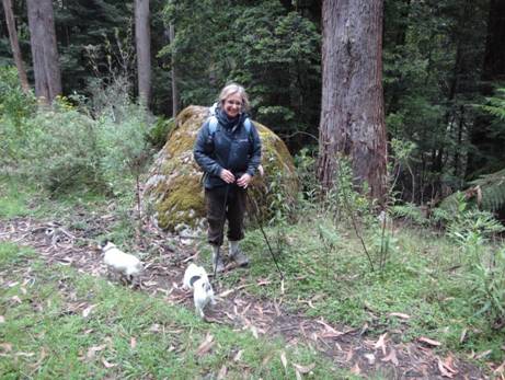
This grnite tor had rolled a long way!
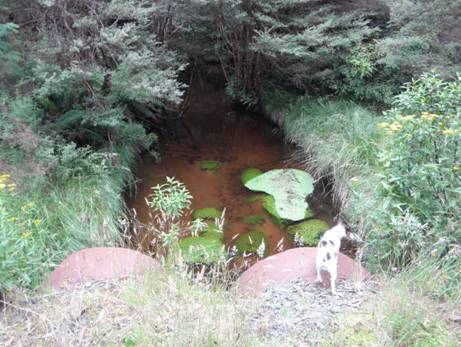
There are bridges so you won't get your feet wet anywhere from the Mushroom Rocks car park.
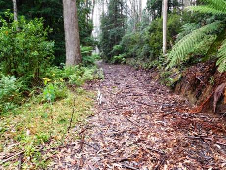
After the last crossing you can take a prominent road to the North.
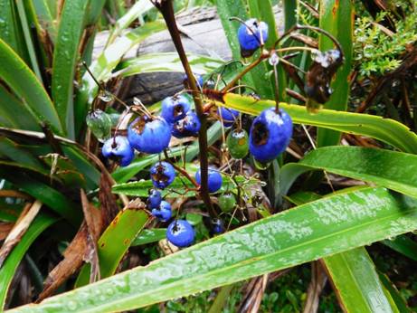
Well something had been eating them. Not me unless I'm sure though.
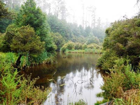
After about half a km there is a pretty little lake full of trout!
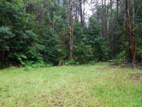
A superb camp site. Nobody around.
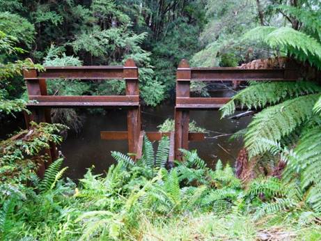
MMBW Control gates.
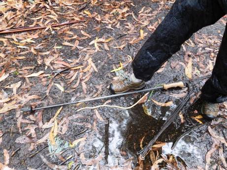
We encountered this giant worm pout for a walk!
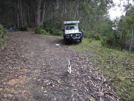
Figure 1At last, here we are at the Block 10 Road gates. There are a couple of nice spots to camp here, but no water - go back to the lake!
For the section Baw Baw to Phillack Saddle see: http://www.theultralighthiker.com/upper-yarra-track-baw-baw-to-newlands-rd/
This map may help. You should walk along the Village Trail clockwise. That way you will come to the new track to Phillack Saddle before you come to the old which is wee-nigh impassable – though we managed it. On the new track it is 1-1.5 hours; probably nearer 3 on the old. Be warned!
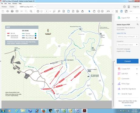
Telstra NextG mobile phone works most places across the Plateau.
Maps for this section:
Mostly Walhalla North T8122-2-N and part of Noojee North T8122-3-N and Avenza Pdf App.
See also:
http://www.finnsheep.com/THE%20UPPER%20YARRA%20WALKING%20TRACK.htm
http://www.finnsheep.com/Track%20Instructions.htm
http://www.theultralighthiker.com/upper-yarra-track-update-section-one-moe-yallourn-rail-trail/
http://www.theultralighthiker.com/upper-yarra-track-update-section-three-wirilda-to-moondarra/
http://www.theultralighthiker.com/upper-yarra-track-section-four-moondarra-to-erica/
http://www.theultralighthiker.com/upper-yarra-track-ada-tree-to-big-pats-creek/
See also Upper Yarra Track Winter
Route:
http://www.theultralighthiker.com/western-tyers-river-great-for-crays/
http://www.theultralighthiker.com/the-western-tyers/
http://www.finnsheep.com/THE%20UPPER%20YARRA%20WALKING%20TRACK.htm
http://www.theultralighthiker.com/upper-yarra-track-update-section-one-moe-yallourn-rail-trail/
http://www.theultralighthiker.com/upper-yarra-track-update-section-three-wirilda-to-moondarra/
http://www.theultralighthiker.com/upper-yarra-track-section-four-moondarra-to-erica/
http://www.theultralighthiker.com/upper-yarra-track-section-five-erica-to-walhalla/
http://www.theultralighthiker.com/upper-yarra-track-st-gwinear-track-junction-to-whitelaws-hut/
http://www.theultralighthiker.com/upper-yarra-track-summary-cumulative-distancestimes/
http://www.theultralighthiker.com/upper-yarra-track-osheas-mill/
http://www.theultralighthiker.com/a-beautiful-world/
http://www.theultralighthiker.com/upper-yarra-track-winter-route-caringal-scout-camp-tyers-junction/
http://www.theultralighthiker.com/upper-yarra-track-winter-route-western-tyers-to-tanjil-bren/
http://www.theultralighthiker.com/kirchubel-if-you-go-nowhere-else-in-the-world-at-least-go-here/
http://www.theultralighthiker.com/upper-yarra-track-winter-route-downey-to-newlands/
23/02/2016: Upper Yarra Track Section Seven: Mushroom Rocks Carpark to Phillack Saddle:
This is a beautiful easy section comprising widely varying vegetation and topography, the spectacular ‘Mushroom Rocks’, the ruin of the Talbot Peak hut, Mt St Phillack, the highest point on the Baw Baws, and a delightful camp at Phillack Saddle. Side trips can be taken to Mt St Gwinear and Baw Baw Alpine Village.
It
is about 20 minutes walk from the car park (toilets, water, scenic side-trip)
to the Mushroom Rocks where there is scout hut accommodation if you have
arranged it. It is another hour to
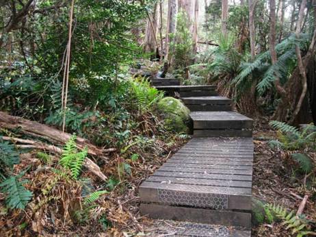
Some parts of the track are even board-walked. You won’t get your shoes dirty as far as Mushroom Rocks at least.
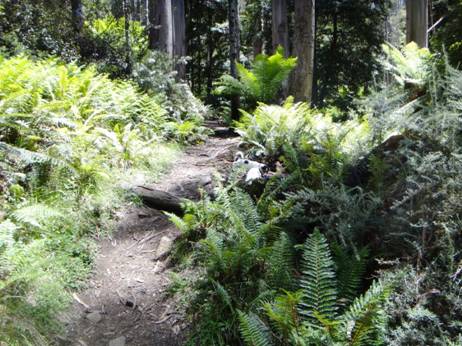
Lots of lovely smells to interest the dogs who wondered which generation (of dogs) was this all being 'saved' for. Well, this one apparently!
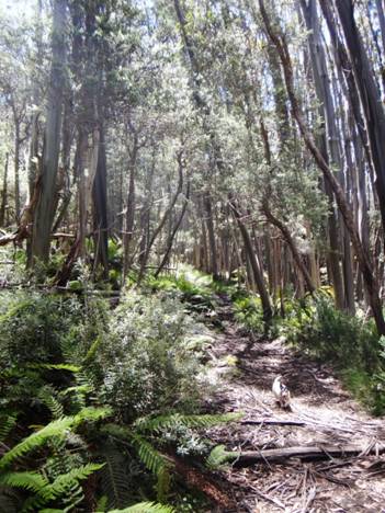
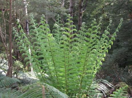
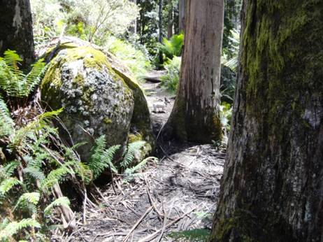
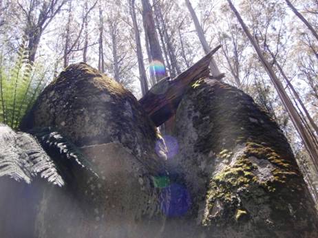
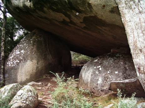
Mushroom rocks shelter, There is another (one person) at the St Gwinear turn-off.
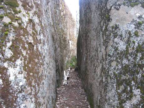
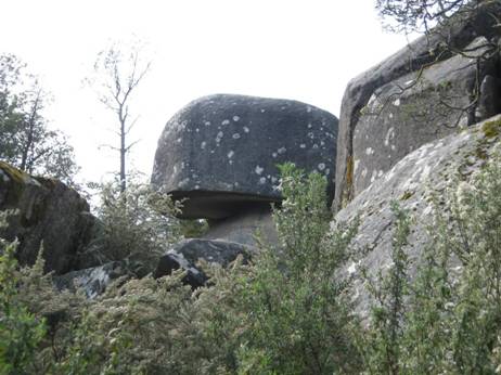
You can see why they are named 'mushroom rocks'.
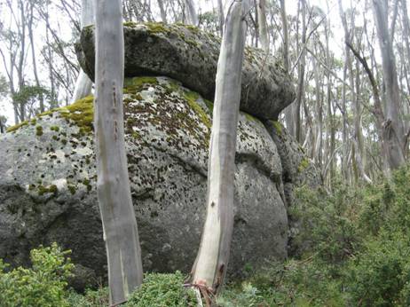
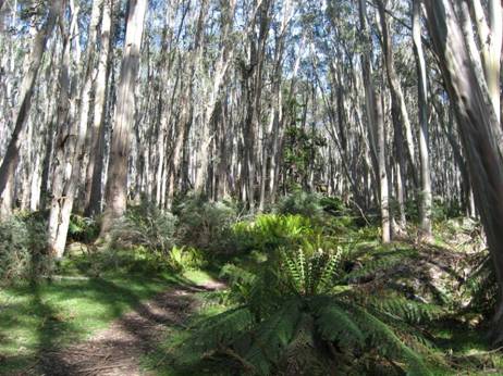
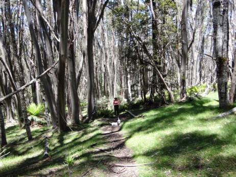
These alpine meadows are delightful.
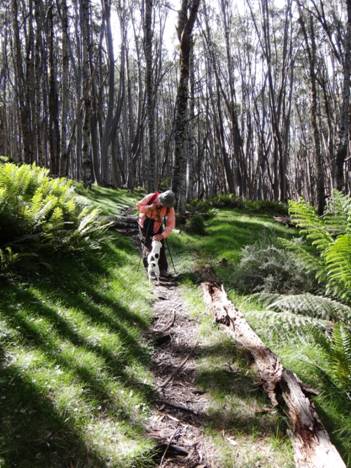
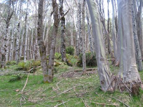
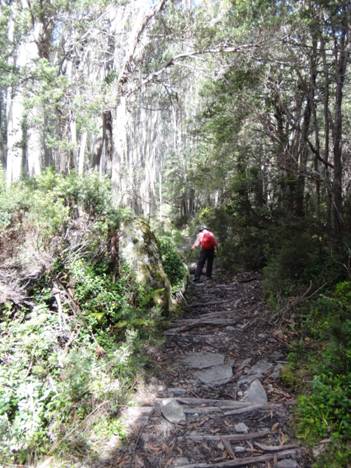
There is a small steepish section.
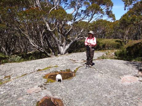
Water often collects in hollows in rocks or weeps out from underneath them. Tiny slakes her thirst.
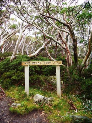
Mt Erica summit.
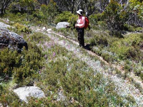
Suddenly you break out into an entirely different landscape.
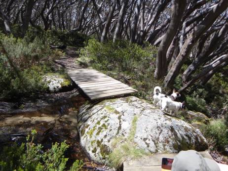
The
dogs were as puzzled as we were by where the stream at
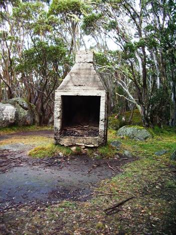
Remains
of the old
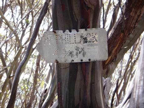
An
old sign at
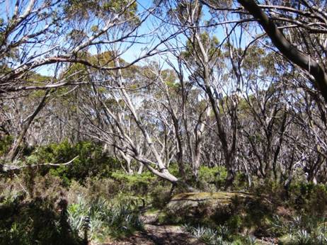
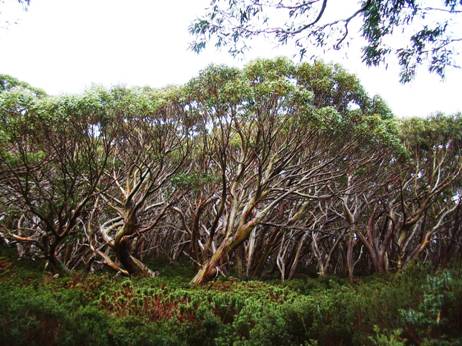
The plateau is easy walking. Surprisingly flat, in fact.
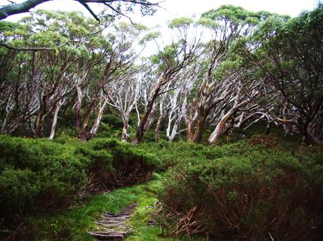
The path is wide and well maintained. Many places two can walk abreast.
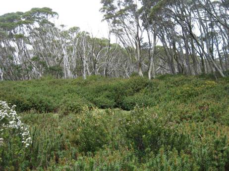
Here and there are small clearings inviting solitary camps if you have thought to carry enough water from the last supply.
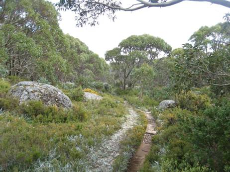
Huge granite boulders are common all over the plateau. It would not have been so pleasant on the day they were falling from the sky!
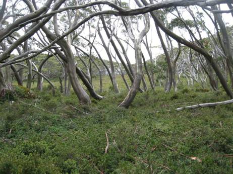
In many places the terrain and vegetation are clearly windswept. It us a good walk to carry a few extra tent pegs.
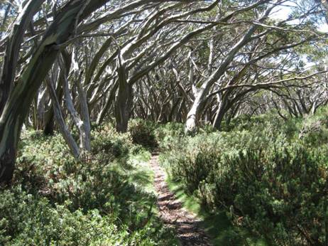
There are many lovely scenes to greet the eye.
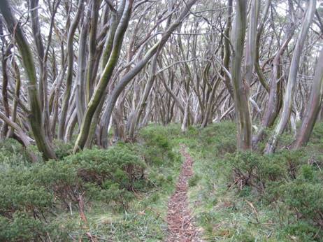
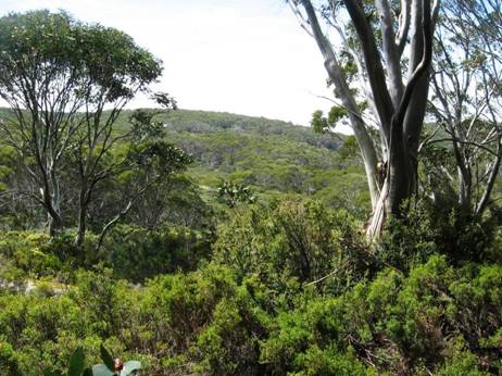
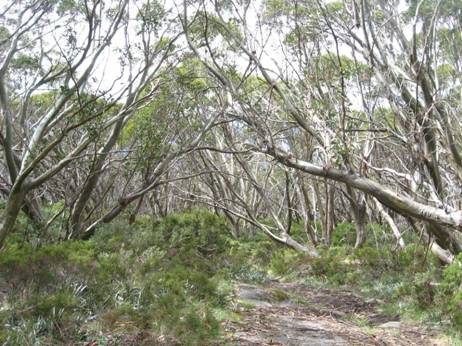
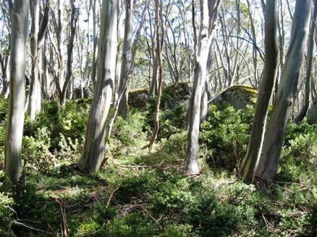
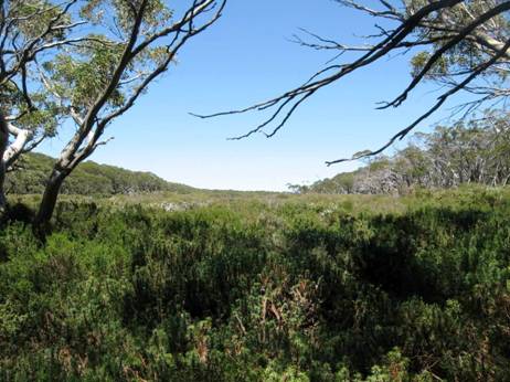
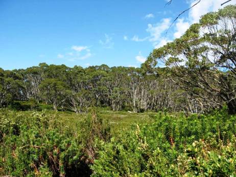
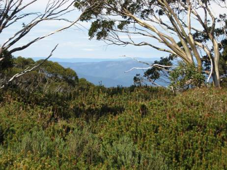
As you cross the plateau you get only occasional glimpses of what would be a magnificent view if only they would cut all the wretched trees down!
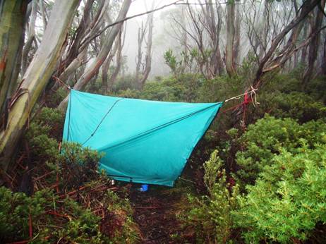
One wet night I camped right across the track in my hammock. It rained during the night turning the track into a stream 150mm deep. Yet I stayed dry – one of the advantages of hammock camping. During the night it was so humid that a light rain fell under my hammock tarp. The DWR on my sleeping bag handled it fine.
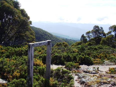
Mt St Gwinear track intersection looking towards Mt St Gwinear.
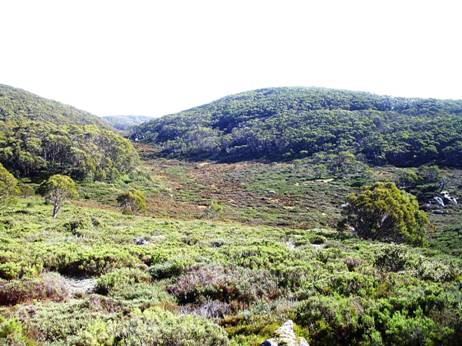
View towards Mt St Gwinear from the track intersection. Water can be obtained from the North Cascade Creek below.
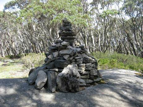
Mt St Phillack (cairn) the highest point on the plateau.

Phillack Saddle just before the turn-off to Baw Baw is a fine place for an overnight camp. Water on the South side.
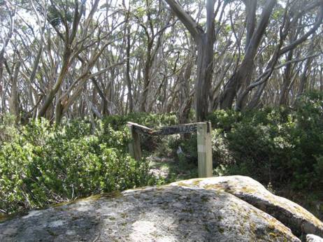
This is the real turn-off to Baw Baw a hundred metres or so past Phillack Saddle heading West. The old track exited right at the saddle but is unmaintained and well-nigh impassable today (though scenic). Whereas it takes about 1.5 hours to walk across the new route it takes twice as long on the old.
PS: My thanks to Gerard White for some of the preceding photos.
Telstra NextG mobile phone works most places across the Plateau.
Maps for this section:
Mostly Walhalla North T8122-2-N and part of WalhallaSouth T8122-2-S and Avenza Pdf App.
See also:
http://www.finnsheep.com/THE%20UPPER%20YARRA%20WALKING%20TRACK.htm
http://www.finnsheep.com/Track%20Instructions.htm
http://www.theultralighthiker.com/upper-yarra-track-update-section-one-moe-yallourn-rail-trail/
http://www.theultralighthiker.com/upper-yarra-track-update-section-three-wirilda-to-moondarra/
http://www.theultralighthiker.com/upper-yarra-track-section-four-moondarra-to-erica/
See also Upper Yarra Track Winter
Route:
http://www.theultralighthiker.com/western-tyers-river-great-for-crays/
http://www.theultralighthiker.com/the-western-tyers/
http://www.finnsheep.com/THE%20UPPER%20YARRA%20WALKING%20TRACK.htm
http://www.theultralighthiker.com/upper-yarra-track-update-section-one-moe-yallourn-rail-trail/
http://www.theultralighthiker.com/upper-yarra-track-update-section-three-wirilda-to-moondarra/
http://www.theultralighthiker.com/upper-yarra-track-section-four-moondarra-to-erica/
http://www.theultralighthiker.com/upper-yarra-track-section-five-erica-to-walhalla/
http://www.theultralighthiker.com/upper-yarra-track-st-gwinear-track-junction-to-whitelaws-hut/
http://www.theultralighthiker.com/upper-yarra-track-summary-cumulative-distancestimes/
http://www.theultralighthiker.com/upper-yarra-track-osheas-mill/
http://www.theultralighthiker.com/a-beautiful-world/
http://www.theultralighthiker.com/upper-yarra-track-winter-route-caringal-scout-camp-tyers-junction/
http://www.theultralighthiker.com/upper-yarra-track-winter-route-western-tyers-to-tanjil-bren/
http://www.theultralighthiker.com/kirchubel-if-you-go-nowhere-else-in-the-world-at-least-go-here/
http://www.theultralighthiker.com/upper-yarra-track-winter-route-downey-to-newlands/
07/02/2016: Della: Steve and I, with Tiny and Spot, spent
the last 2 days walking over the Baw Baw Plateau from Baw Baw across to
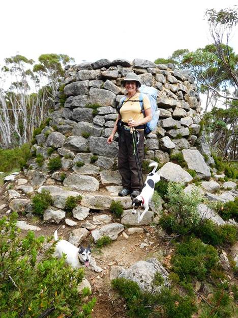
Mueller's cairn, Baw Baw summit. Leaping dogs!
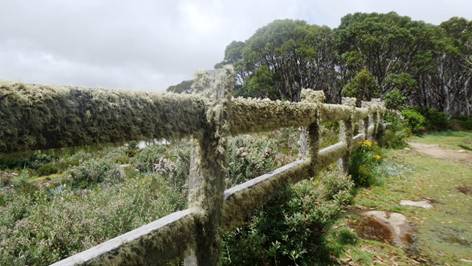
Baw Baw, Mueller's Lookout. Love the bearded fence!
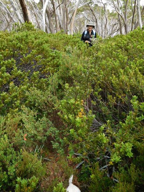
Old (wrong) Baw Baw to Phillack Saddle track. The track is well below the chest height of the vegetation.
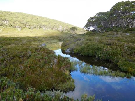
But even wrong tracks have their bonuses. This is indeed
a splendid vista. Freeman's Flat.
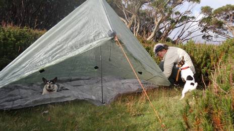
Phillack Saddle: first night's camp. Dogs being helpful. Tiny went to bed before the tent was up!
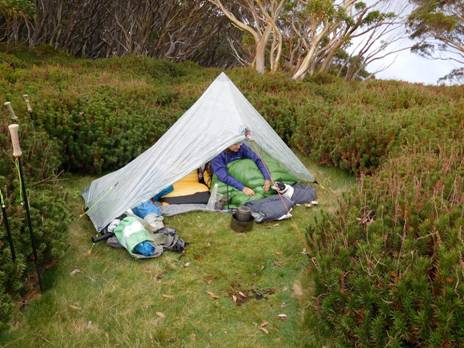
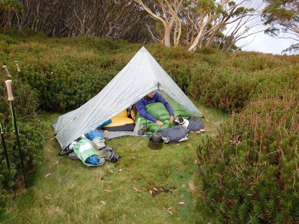
Tiny and me warm in in our tent.
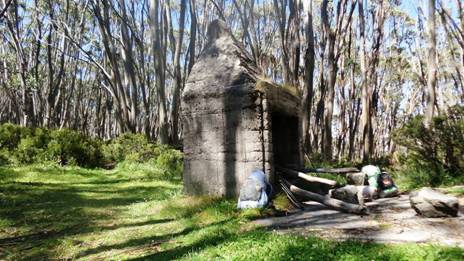
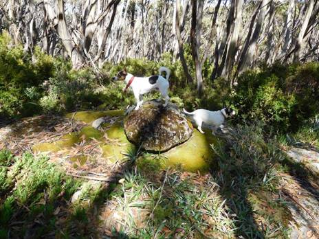
Love this pic that Steve took! He was going to snap this fairly mundane rock when the 2 dogs leapt on top and made the picture a winner!
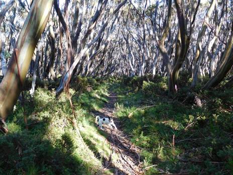
Great scenery. Spot leaping ahead.
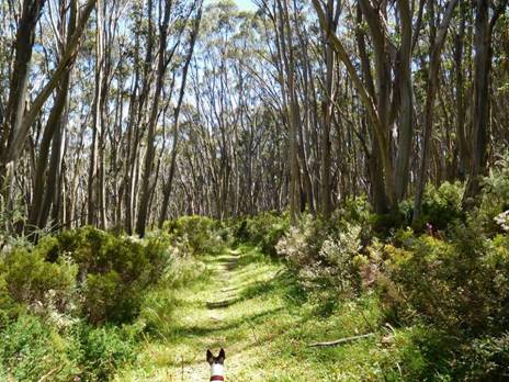
Spot leading the way.
Mobile Phone works most places along the top of the Baw Baw Plateau.
Vicmaps:
Walhalla
WARNING:
The Vicmaps incorrectly locate the trail from Baw Baw to St Gwinear as coming
off the 'Village Trail' at Baragwanath Flat: This is the old trail which is
well-nigh impassable (though we did!). The new (well-maintained) trail begins a
little west of there and exits onto the Alps Walking Track West of St Phillack
Saddle (where there is an excellent campsite with water), not right at the
saddle as does the old trail. Warning 2: Trails down from the Alps Walking
Trail to
02/02/2016:
The route along the tops is a delightful mix of alpine heath and snow gums. Every couple of kms you will find a small stream (sometimes to the side of the track) with fresh water. For example there is water near the St Gwinear turnoff, just after Mt St Phillack, at Mustering Flat and in the valley next to the Mt Whitelaw Hut site. Gerard White and his partner Bridgette kindly shared these photos from January 2015. Near Mt St Phillack:
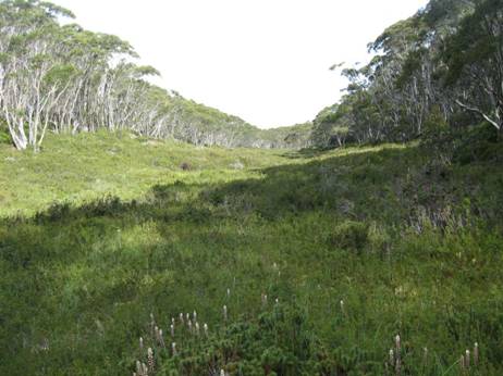
Most times of the year (save winter) there is a riot of wildflowers
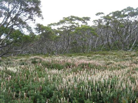
These lovely little fellows close up.
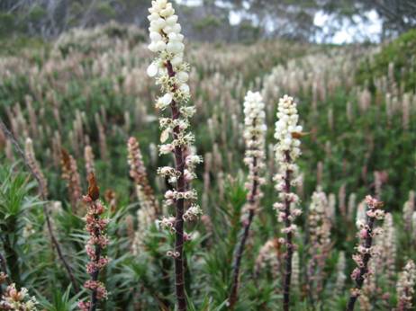
The path is well defined and maintained.
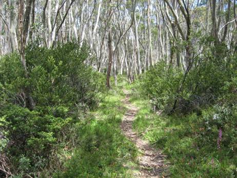
With many things of interest on all sides.
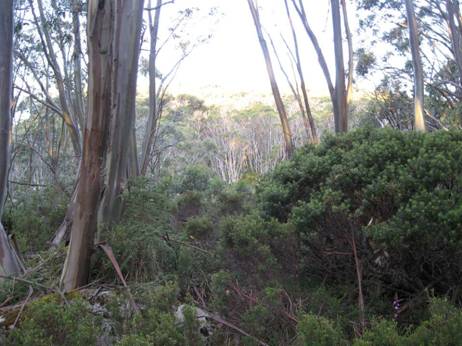
The grass is well clipped by small herbivores whom you may see morning/evening.
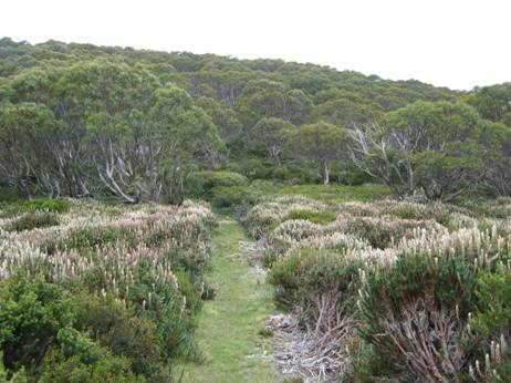
Large granite tors are a feature of the Baw Baws.
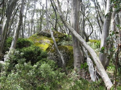
There are some lovely vistas.
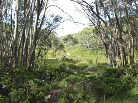
As the evening shadows lengthen.
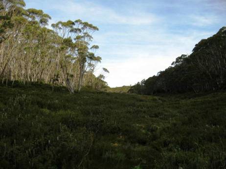
Some of these prostrate plants amongst the snow gums are dwarf native pines.
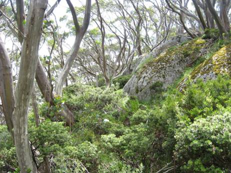
Whitelaws
Hut site. There used to be four huts: the first at the
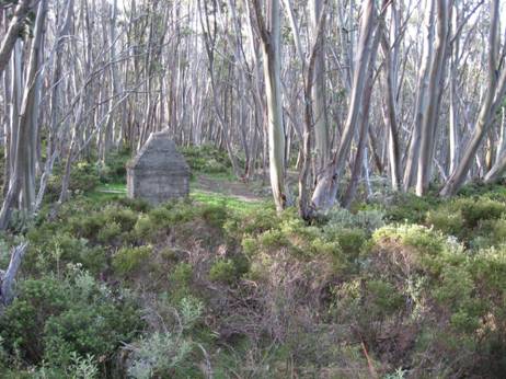
A shame these huts were destroyed by the 1939 fires and never rebuilt. They were quite large, had concrete floors and fireplace, bunks, pots, pans, crockery. Delightful spots to stay as you journeyed along. Still camping out today is not without its pleasures.
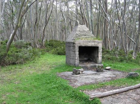
Many pleasant views around the hut.
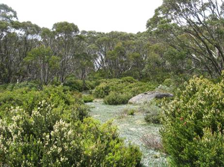
As you lie abed, this is the view of the sky you see.
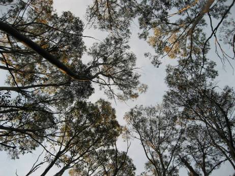
Water can be obtained from this stream nearby.
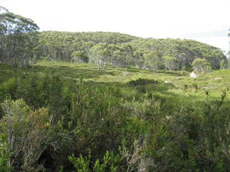
Snow gums are very slow growing. Some of these trees are very old.
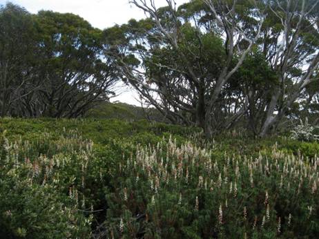
The
path continues on towards its turn-off to
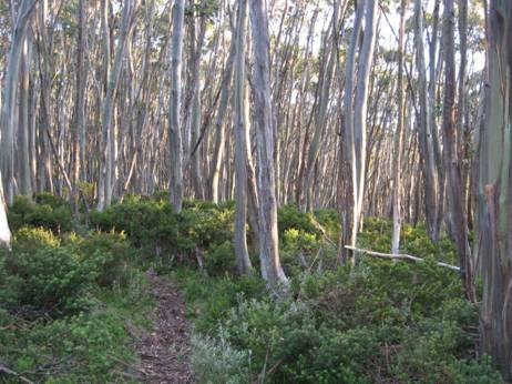
See also:
http://www.finnsheep.com/THE%20UPPER%20YARRA%20WALKING%20TRACK.htm
http://www.finnsheep.com/Track%20Instructions.htm
http://www.theultralighthiker.com/upper-yarra-track-update-section-one-moe-yallourn-rail-trail/
http://www.theultralighthiker.com/upper-yarra-track-update-section-three-wirilda-to-moondarra/
http://www.theultralighthiker.com/upper-yarra-track-section-four-moondarra-to-erica/
Mobile
Phone works beautifully until you plunge downhill towards the
See also Upper Yarra Track Winter Route:
http://www.theultralighthiker.com/western-tyers-river-great-for-crays/
http://www.theultralighthiker.com/the-western-tyers/
http://www.finnsheep.com/THE%20UPPER%20YARRA%20WALKING%20TRACK.htm
http://www.theultralighthiker.com/upper-yarra-track-update-section-one-moe-yallourn-rail-trail/
http://www.theultralighthiker.com/upper-yarra-track-update-section-three-wirilda-to-moondarra/
http://www.theultralighthiker.com/upper-yarra-track-section-four-moondarra-to-erica/
http://www.theultralighthiker.com/upper-yarra-track-section-five-erica-to-walhalla/
http://www.theultralighthiker.com/upper-yarra-track-summary-cumulative-distancestimes/
http://www.theultralighthiker.com/upper-yarra-track-ada-tree-to-big-pats-creek/
http://www.theultralighthiker.com/upper-yarra-track-osheas-mill/
http://www.theultralighthiker.com/a-beautiful-world/
http://www.theultralighthiker.com/upper-yarra-track-winter-route-caringal-scout-camp-tyers-junction/
http://www.theultralighthiker.com/upper-yarra-track-winter-route-western-tyers-to-tanjil-bren/
http://www.theultralighthiker.com/kirchubel-if-you-go-nowhere-else-in-the-world-at-least-go-here/
http://www.theultralighthiker.com/upper-yarra-track-winter-route-downey-to-newlands/
02/02/2016:
As you can see the track is well made, delightful and easy to follow from the Ada Tree all the way to Warburton, with numerous signposts. If you have a couple of days to spare, this is a pleasant jaunt. You can turn it into a loop: http://www.theultralighthiker.com/ada-tree-loop-walk-4-days/ Gerard White and his partner Bridgette completed this section of the walk back in July 2015 (even encountering snow at Starlings Gap!) and have kindly provided the photos below:
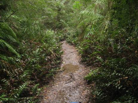
The Ada Tree is huge,
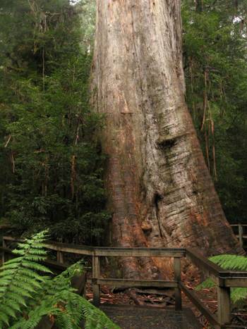
With a tiny crown typical of these giant Mountain Ash.
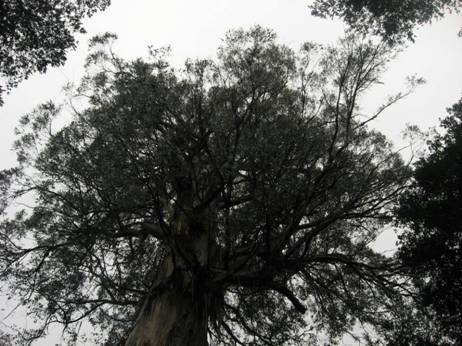
Many photo ops along the trail. Hobbits would like this.
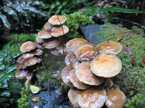
A
few stream crossings which do not even daunt Jack Russells – though they may
need a raincoat in the wetter weather. See: http://www.theultralighthiker.com/tyvek-jack-russell-rain-coat-13-grams/
You pass the remnants of a number of old timber settlements, eg ‘The New Ada Mill’,
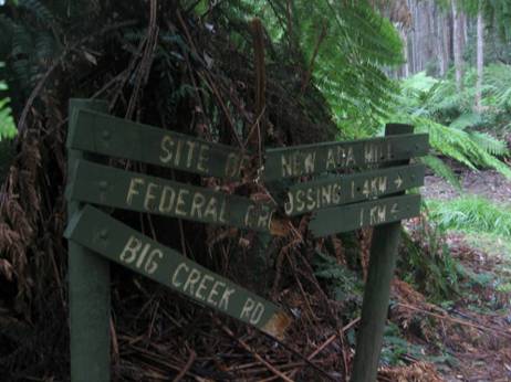
What a colossal log jam
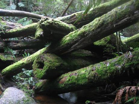
And again. Fortunately you don’t have to scramble over it.
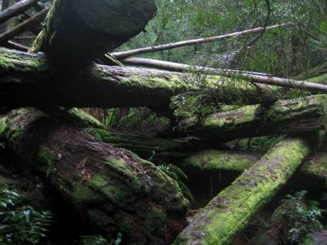
You can gently tiptoe round it.
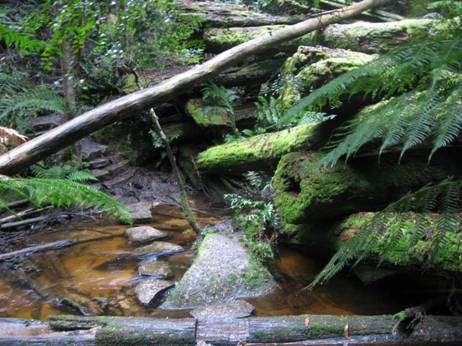
Wondrous how the memories of yesteryear meld into the forest.
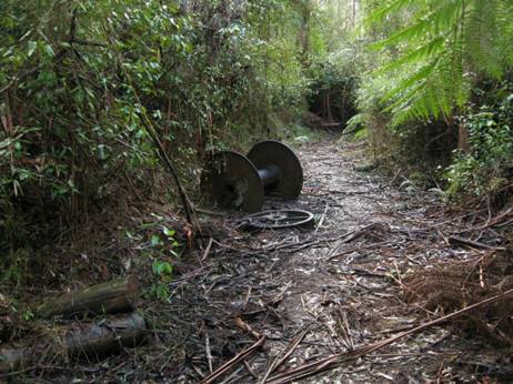
The turnoff to the Walk into History (High Lead) trail.
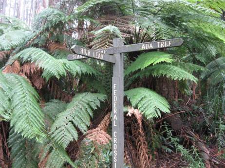
Jack Russels always lead the way.
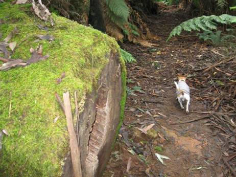
Ruins of an enormous drum used for winch logging.
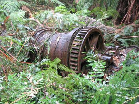
And an old steam boiler
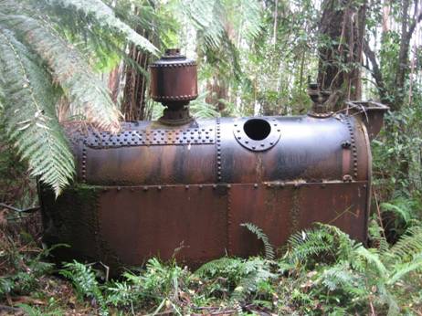
From Starlings gap it is 9 km to Big Pats creek camp ground.
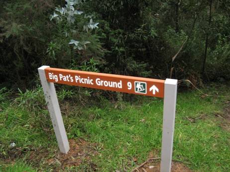
Starlings gap is quite beautiful, and can be reached by car for day walks..
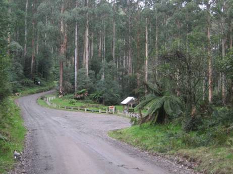
With delightful facilities.
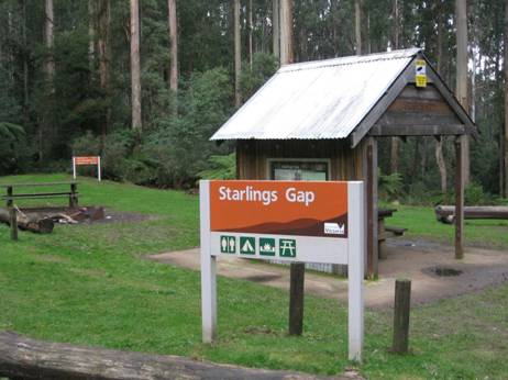
Lots of logs to sit on. Picnic tables, fire pits.
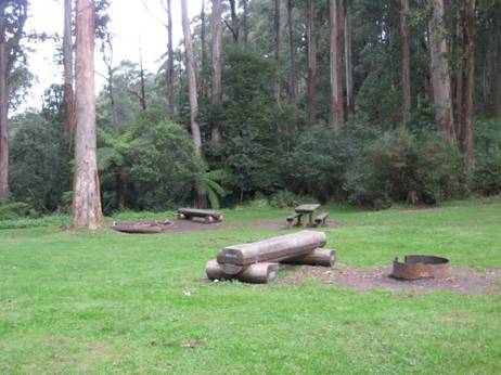
Even a light dusting of snow in July.
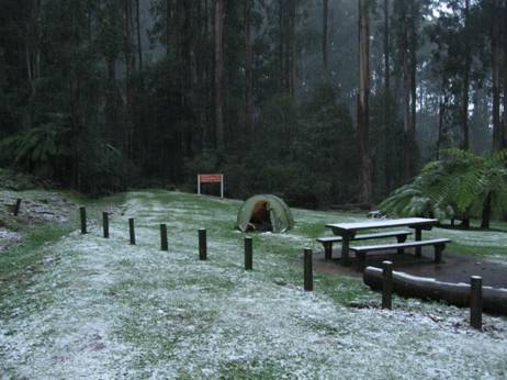
A beautiful track leads along the river towards Warburton.
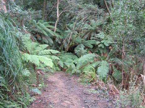
Fringed by some splendid timber.
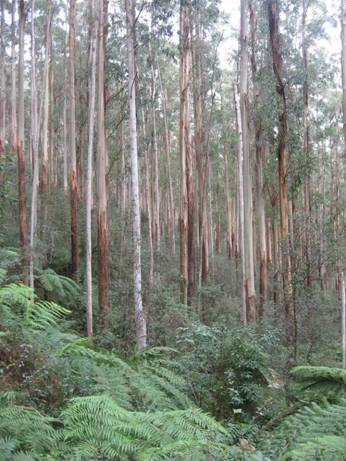
Delightful mossy logs.
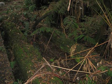
A simply beautiful stream.
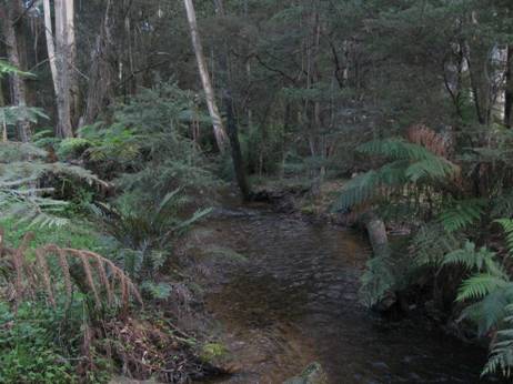
Plenty of crays here.
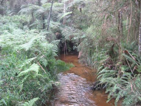
The track is an old timber tramway.
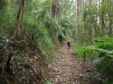
The track begins/ends here.
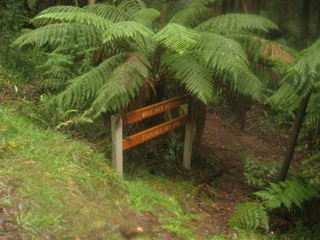
Big Pats Creek.
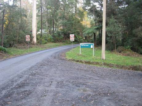
Turnoff to/from Big Pats Creek. A pleasant stroll into Warburton: 6-7 km, say 2 hours.
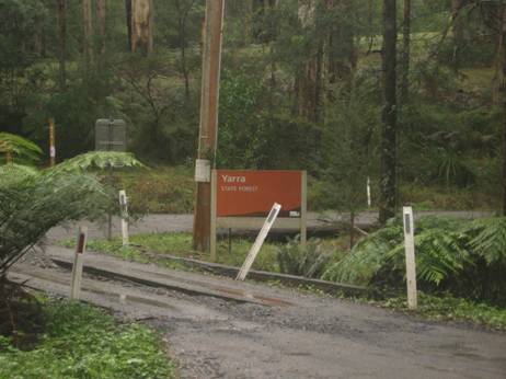
See also:
http://www.finnsheep.com/THE%20UPPER%20YARRA%20WALKING%20TRACK.htm
http://www.finnsheep.com/Track%20Instructions.htm
http://www.theultralighthiker.com/upper-yarra-track-update-section-one-moe-yallourn-rail-trail/
http://www.theultralighthiker.com/upper-yarra-track-update-section-three-wirilda-to-moondarra/
http://www.theultralighthiker.com/upper-yarra-track-section-four-moondarra-to-erica/
Mobile
Phone works beautifully until you plunge downhill towards the
See also Upper Yarra Track Winter Route:
http://www.theultralighthiker.com/western-tyers-river-great-for-crays/
http://www.theultralighthiker.com/the-western-tyers/
http://www.finnsheep.com/THE%20UPPER%20YARRA%20WALKING%20TRACK.htm
http://www.theultralighthiker.com/upper-yarra-track-update-section-one-moe-yallourn-rail-trail/
http://www.theultralighthiker.com/upper-yarra-track-update-section-three-wirilda-to-moondarra/
http://www.theultralighthiker.com/upper-yarra-track-section-four-moondarra-to-erica/
http://www.theultralighthiker.com/upper-yarra-track-section-five-erica-to-walhalla/
http://www.theultralighthiker.com/upper-yarra-track-st-gwinear-track-junction-to-whitelaws-hut/
http://www.theultralighthiker.com/upper-yarra-track-summary-cumulative-distancestimes/
http://www.theultralighthiker.com/upper-yarra-track-osheas-mill/
http://www.theultralighthiker.com/a-beautiful-world/
http://www.theultralighthiker.com/upper-yarra-track-winter-route-caringal-scout-camp-tyers-junction/
http://www.theultralighthiker.com/upper-yarra-track-winter-route-western-tyers-to-tanjil-bren/
http://www.theultralighthiker.com/kirchubel-if-you-go-nowhere-else-in-the-world-at-least-go-here/
http://www.theultralighthiker.com/upper-yarra-track-winter-route-downey-to-newlands/
01/02/2016: Upper Yarra Track Sidetrip: Horseshoe Tunnel/Coopers Creek
Only a bit over a km from Platina Station on the walk from Erica to Walhalla you can take this lovely walk down to the historic Horseshoe Tunnel. The tunnel was created over a century ago to divert the river so the dry river bed could be sluiced for gold. The sidetrip takes about 1.5 hours (or several days if you decide to camp out!) This early section is fringed with wild cherries. Seats are provided at strategic intervals for the weary traveler.
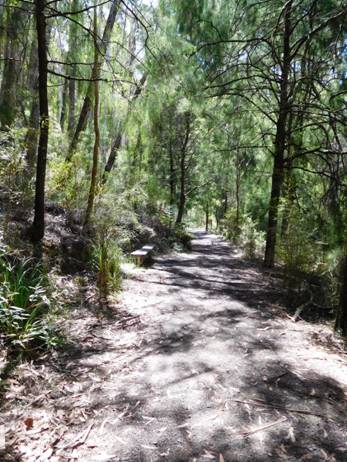
The track passes through a beautiful fern gully as it zig zags down the hill to the river.
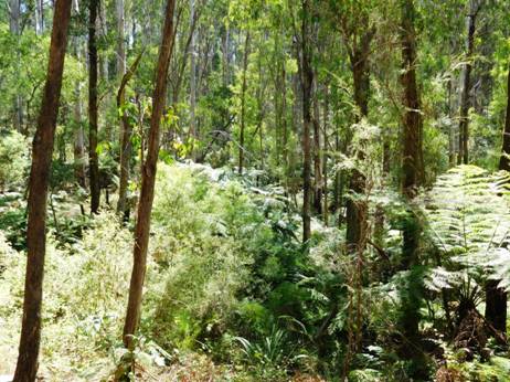
There is some good timber along the way.

At the bottom there is this delightful picnic table and informative signs. You could easily camp right here. There is a fireplace as well.
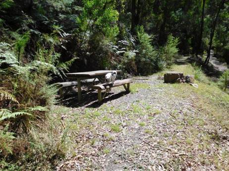
You can see the river exiting from the tunnel if you stand on the table – as I did for this shot.
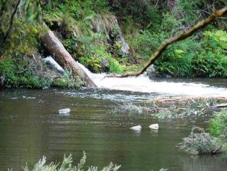
Close
up it looks much fiercer.
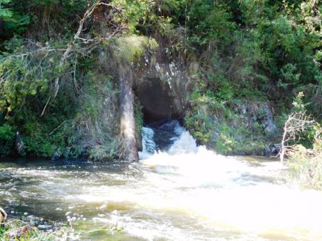
You walk alpong the dry river bed to the inlet.
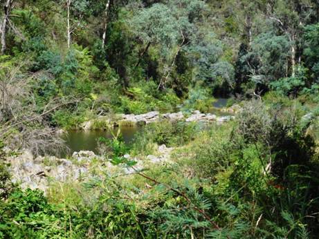
As
usual Spot leads the way. Plenty of places you could camp along here.
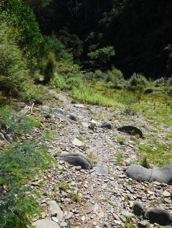
The track is fringed with lots of wild mint which casts up a delightful aromatic fragrance – another memento of the pioneer women of yesteryear.
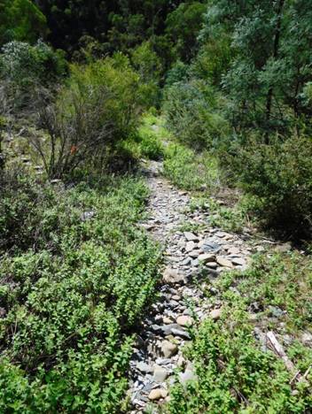
You would not want to accidentally fall into the inlet. You would be pretty sore and sorry by the time you came out the other side – if you lived to tell the tale at all! Apparently on the day it opened the builder, his wife and children were swept through it – and they survived!
There is a beautiful beach both at the inlet and the exit – lovely places for a swim on a hot day.
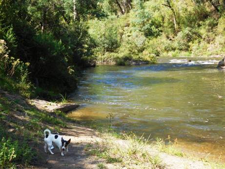
Spot and Tiny were more interested in lunch than in the tunnel – background.
This shaggy local barely noticed us as we passed.
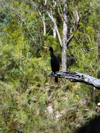
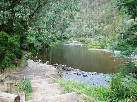
And extensive camping opportunities (with toilet facilities).
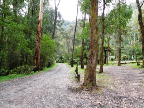
The Vicmap for this section is Walhalla South T8122-2-S
See also:
http://www.finnsheep.com/THE%20UPPER%20YARRA%20WALKING%20TRACK.htm
http://www.finnsheep.com/Track%20Instructions.htm
http://www.theultralighthiker.com/upper-yarra-track-update-section-one-moe-yallourn-rail-trail/
http://www.theultralighthiker.com/upper-yarra-track-update-section-three-wirilda-to-moondarra/
http://www.theultralighthiker.com/upper-yarra-track-section-four-moondarra-to-erica/
Mobile
Phone works beautifully until you plunge downhill towards the
See also Upper Yarra Track Winter Route:
http://www.theultralighthiker.com/western-tyers-river-great-for-crays/
http://www.theultralighthiker.com/the-western-tyers/
http://www.finnsheep.com/THE%20UPPER%20YARRA%20WALKING%20TRACK.htm
http://www.theultralighthiker.com/upper-yarra-track-update-section-one-moe-yallourn-rail-trail/
http://www.theultralighthiker.com/upper-yarra-track-update-section-three-wirilda-to-moondarra/
http://www.theultralighthiker.com/upper-yarra-track-section-four-moondarra-to-erica/
http://www.theultralighthiker.com/upper-yarra-track-section-five-erica-to-walhalla/
http://www.theultralighthiker.com/upper-yarra-track-summary-cumulative-distancestimes/
http://www.theultralighthiker.com/upper-yarra-track-osheas-mill/
http://www.theultralighthiker.com/a-beautiful-world/
http://www.theultralighthiker.com/upper-yarra-track-winter-route-caringal-scout-camp-tyers-junction/
http://www.theultralighthiker.com/upper-yarra-track-winter-route-western-tyers-to-tanjil-bren/
http://www.theultralighthiker.com/kirchubel-if-you-go-nowhere-else-in-the-world-at-least-go-here/
http://www.theultralighthiker.com/upper-yarra-track-winter-route-downey-to-newlands/
21/01/2016: Upper Yarra Track: Section Five: Erica to
Walhalla:
12 km – @ 4 hours.
It
is 2 km (a bit over half an hour) along the rail trail to the
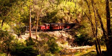
Half way (3 km) along the trail (Platina Station – shelter hut) you can turn off and drop down (2 km) to Coopers creek on the Thomson where there is a popular camp ground (toilets, water). The hotel there is now (unfortunately) closed.
From Platina Station you can also take an (approx ½ hour each way) excursion to the ‘Horseshoe Tunnel’ (http://www.visitbawbaw.com.au/walking-cycling/horseshoe-bend-tunnel) a river diversion put in during the early C20th to extract gold from the stream bed (Toilets, water, camp). The whole river was intended to flow through, it thus granting access to any alluvial gold in the river bed.
From
Thomson Station to Walhalla Station along the rail trail (watch out for
trains!) is about 4 km (1 hour). Walking is not allowed on the railway line.
You can walk along the ‘Alpine Walking Track’ what used to be (part of) the
Poverty Point Tramline (as we did), or the Mormon Town Track& Telecom
Tracks or along the main road. Both start on the true left bank immediately you
cross the bridge across the Thomson. There is a trail on either side of the
river upstream of the Thomson road bridge. The one on the West bank can be used
to access the
The
trail passes though some magnificent timber (huge mountain ash, vast tree
ferns, etc – with magnificent views down to the mighty
The
There
is plenty to see and explore in and around Walhalla. You may want to spend a
few days thereabouts. If you have never been there before you are going to be
astonished by the beauty (and history) of this quaint old gold mining town
nestled in the deep valley of Stringers Creek. Take a look at the cemetery and
cricket ground. Maybe do a tour of the Long Tunnel mine. Most of the buildings
are authentic mid C19th. Heading out of Walhalla you can divert via Rawson to
pick up additional supplies if needed before you tackle the beautiful and
awesome Baw Baw Plateau.
For example, a side trip via Happy-Go-Lucky to
The
The trail begins just as you enter Erica on the East side of the road opposite the hotel next to a shelter, convenience stop and caravan park and these mementoes of the region's logging history.
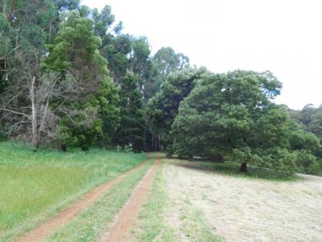
Right on the outskirts of Erica the trail plunges from lush green paddocks replete with fat kine into the enfolding forest.
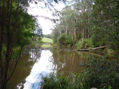
Minutes out of Erica a lovely dam makes for a refreshing rest stop.
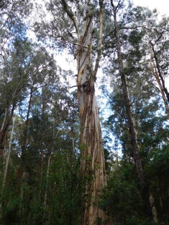
Straightaway you plunge into magnificent mountain ash country: this species is the tallest tree/plant in the world.
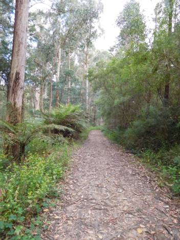
The trail is in wonderful condition.

As always the Jack Russels Spot and Tiny lead the way.
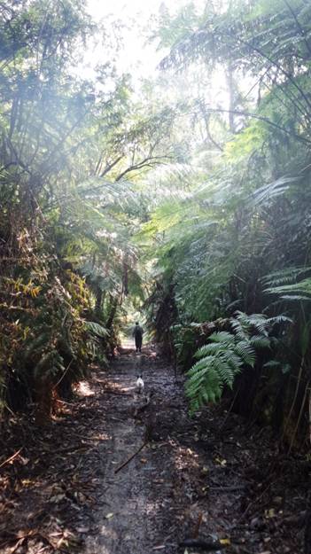
Through beautiful tree fern tunnels.
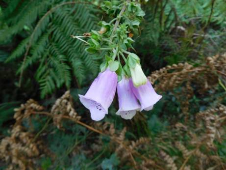
Along the way a very late summer foxglove in a shady nook is a touching reminder of the C19th goldfields women who followed their menfolk to the ends of the earth.
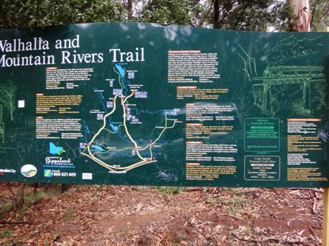
After
about 40 minutes the track crosses the
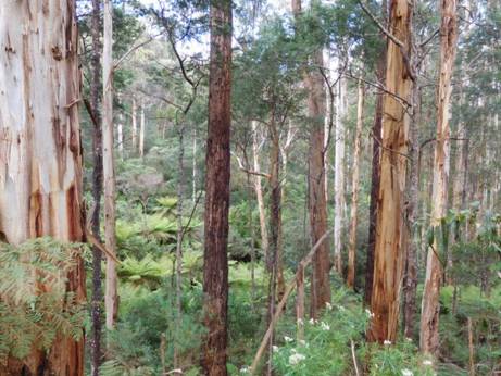
Once again you are plunged into magnificent ash and tree fern. As we were walking this section we heard a sound like a cannonade as one of these giants crashed unexpectedly to the ground. This happens often over summer. Gums are ‘self-pruning’ – a dangerous habit should you be foolish enough to camp underneath one!
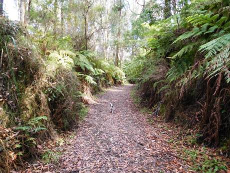
The track is wide enough most of its length that two can walk abreast.
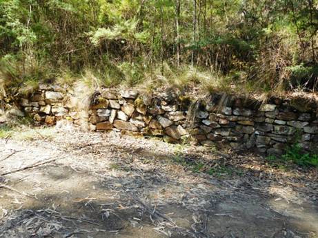
After
Micah Creek (water, camp) Platina Station marks the turn off for
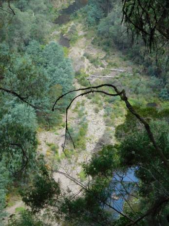
The Horseshoe Tunnel diversion track below: as you can see an easy portage if you are packrafting the Thomson.
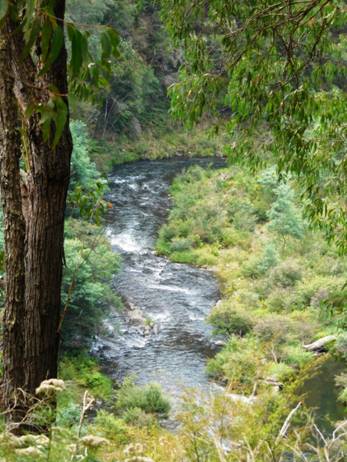
There
are many glimpses of the mighty
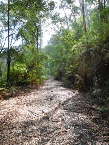
It is a lovely wide well-graded track: easy walking. Spot, as usual is out in front.
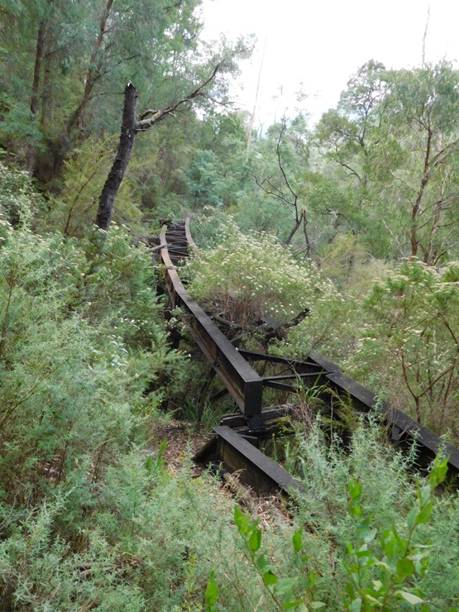
Many mementoes of the old Moe-Walhalla line along the way. A fallen bridge.
Abandoned railway tracks.
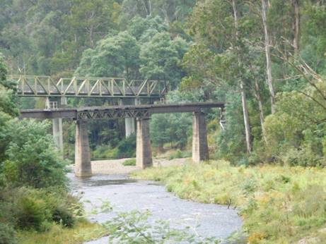
Road and rail bridges span the river at Thomson Station. You can see from their height how far this river can rise.
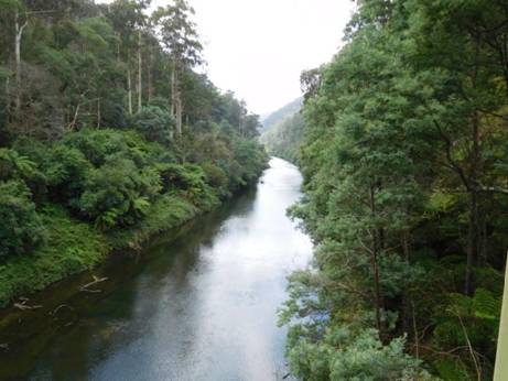
The Thomson is a beautiful river to canoe: view upstream from the Thomson road bridge towards the dam (starting point).
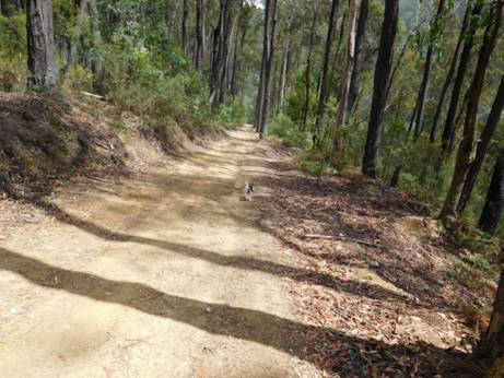
After
crossing the Thomson, the
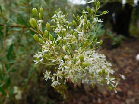
The Australian bush is always a riot of wildlowers. Indeed very few places offer the bewildering array of species you find all about you here.
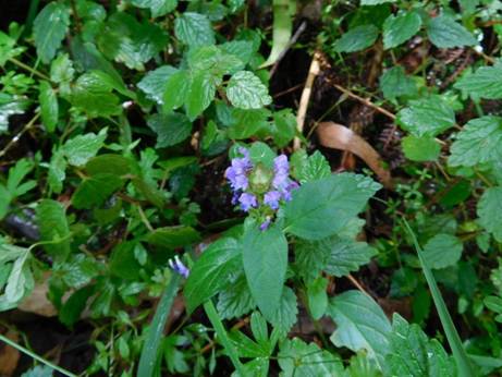
Native Bugle flower.
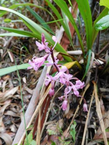
Native trigger flower: a carnivorous variety.
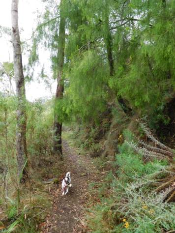
This is a wild cherry. It is a parasitic plant with an edible fruit (hence the name). It is only one of two trees in the world which bears its nuts outside its fruit (hence ‘exocarpus’), the other being the pecan.
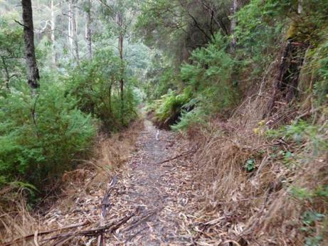
The Poverty Point tramline was in many places hacked out of a near vertical hillside. The main road is about fifty metres below - straight down!
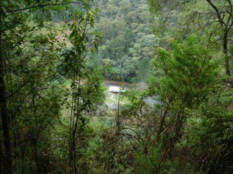
Early glimpses of Walhalla through the trees: below the new 'Visitor's Centre'.
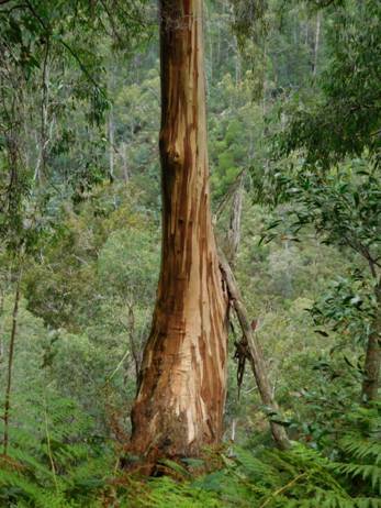
Early settlers could not quite believe Australian Eucalypts, a dominant genera in today's landscape as they kept their leaves whilst shedding their bark. Another annoying habit they have is turning their leaves to avoid the sun, thus casting little shade on a hot day.
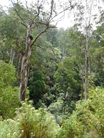
There are some majestic examples in the wetter gullies. Hard to believe that a hundred years ago there was not s single tree growing within thirty kilometres of Walhalla - so great was its voracious appetite for wood! They are quite quick growing. Trees which sprang up from seeds after the 1939 fires had trunks which made a single semi-trailer load a mere fifty years later.
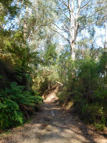
Spot really enjoys a walk. He is way ahead of Della here.
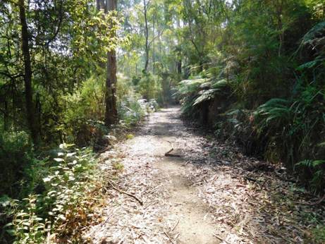
The road goes ever on and on...That is bark on the track, though we did see a small snake and a water dragon at the river crossing – and at least fifty species of birds!
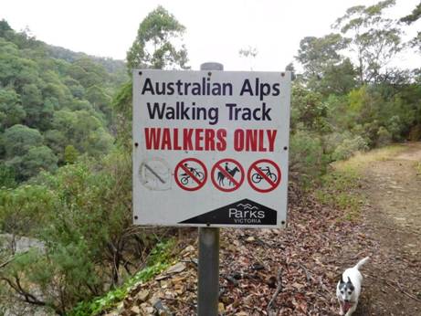
Someone had removed one of the forbidden things on the sign. Tiny cannot believe it was 'dogs'. We saw indications that both horses and pushbikes have also ‘strayed’ onto this lovely track. Someday no doubt such misdeeds will be a capital offence! Or forgotten quite.
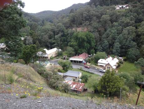
At
trail's end Walhalla lies nestled in the
See also:
The Vicmap for this section is Walhalla South T8122-2-S
See also:
http://www.finnsheep.com/THE%20UPPER%20YARRA%20WALKING%20TRACK.htm
http://www.finnsheep.com/Track%20Instructions.htm
http://www.theultralighthiker.com/upper-yarra-track-update-section-one-moe-yallourn-rail-trail/
http://www.theultralighthiker.com/upper-yarra-track-update-section-three-wirilda-to-moondarra/
http://www.theultralighthiker.com/upper-yarra-track-section-four-moondarra-to-erica/
See also Upper Yarra Track Winter Route:
http://www.theultralighthiker.com/western-tyers-river-great-for-crays/
http://www.theultralighthiker.com/the-western-tyers/
http://www.finnsheep.com/THE%20UPPER%20YARRA%20WALKING%20TRACK.htm
http://www.theultralighthiker.com/upper-yarra-track-update-section-one-moe-yallourn-rail-trail/
http://www.theultralighthiker.com/upper-yarra-track-update-section-three-wirilda-to-moondarra/
http://www.theultralighthiker.com/upper-yarra-track-section-four-moondarra-to-erica/
http://www.theultralighthiker.com/upper-yarra-track-summary-cumulative-distancestimes/
http://www.theultralighthiker.com/upper-yarra-track-osheas-mill/
http://www.theultralighthiker.com/a-beautiful-world/
http://www.theultralighthiker.com/upper-yarra-track-winter-route-caringal-scout-camp-tyers-junction/
http://www.theultralighthiker.com/upper-yarra-track-winter-route-western-tyers-to-tanjil-bren/
http://www.theultralighthiker.com/kirchubel-if-you-go-nowhere-else-in-the-world-at-least-go-here/
http://www.theultralighthiker.com/upper-yarra-track-winter-route-downey-to-newlands/
Mobile
Phone works beautifully until you plunge downhill towards the
26/12/2015: Up Into the
Our family celebrate Xmas tomorrow (due to work commitments), so what better day to continue our exploration of the ‘closed track’ which used to link Downey (North of Tanjil Bren) with Newlands Rd (Baw Baw Plateau)? We are hoping that this track will complete our ‘Winter Route’ of The Upper Yarra Track (http://www.finnsheep.com/THE%20UPPER%20YARRA%20WALKING%20TRACK.htm) . It has been very hard going, so we might have to find an alternative track up the ridge from Strahan (North West of Tanjil Bren) to the Block 10 Road.This track crosses the West Tanjil River just below Downey, follows it upstream on the true right bank for a couple of kms then heads up a ridge towards the plateau.
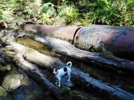
Spot is an expert at these river crossings, well practiced in keeping his paws dry. These huge iron pipes used to form an immense culvert.

He loves to lead the way; having a good time, I'd say! We are marking the track with tape as we go.
Sometimes it is hard going for the dogs (as well as the people)! This herringbone fern is particularly awkward to navigate.
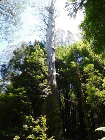
Sometimes you come across the ruins of a forest giant. Who knows how tall this one was before its top broke off? Remember, these were the world's largest trees - up to 120 metres tall!
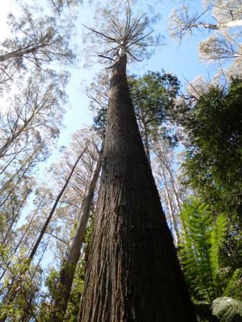
This younger tree is vying for the record.
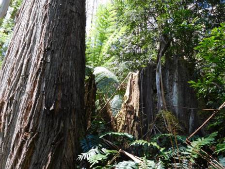
It has come up right next to the stump of its parent tree. The younger tree is more than 3 metres diameter at its base; The stump larger still.
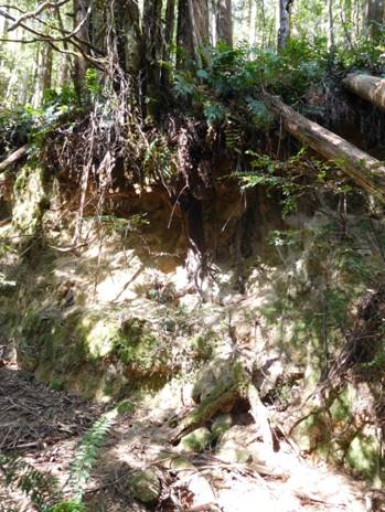
It was quite a substantial road once. This cutting is over 5 metres deep. 2-3 semis could easily pass on it. Such a pity such tracks were not retained for land management and recreational purposes.
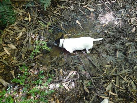
Tiny just can't help but drink from every deer wallow! There was plenty of good deer sign, but the area must be well-nigh impossible to hunt.
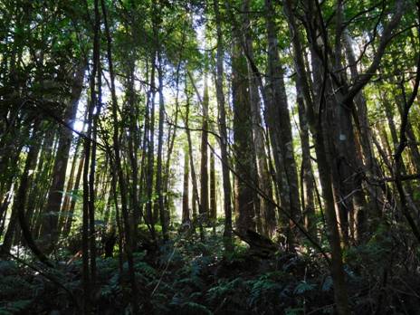
Everywhere along the way are scenes of great beauty.
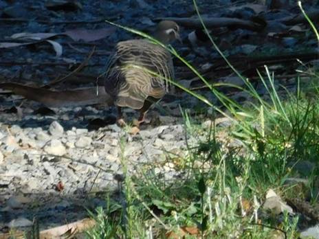
And interesting wildlife: this pigeon was almost as tame as Della's! Gippsland is wonderful!
Unfortunately
we made it only about half way to the top. We may try coming down from
Even though the forecast was for 35C yesterday, at Mt Baw Baw and Tanjil Bren it only reached 21C! 14 degrees difference! We are so lucky to have these mountain areas (relatively) so close by. Wonderful for cool summer hikes. The Upper Yarra Track traverses the outstanding Baw Baw Plateau with many camping and scenic attractions. The Mt Darling- Snowy Bluff wilderness is also only a couple of hours away and (also) being around 1.5km in elevation is much cooler in the summer months. Of course, check the weather outlook. It can snow at any time of the year at these elevations - and there is always the risk of bushfire in very dry conditions. After rain is always nice, as everything will be cool and freshened up.
See also: http://www.theultralighthiker.com/spots-hunting-adventures-1-mystery-river/
http://www.theultralighthiker.com/not-quite-alone-in-the-wilderness/
http://www.theultralighthiker.com/camping-by-the-moroka-river/
http://www.theultralighthiker.com/snowy-bluff-mt-darling-wilderness/
http://www.finnsheep.com/THE%20UPPER%20YARRA%20WALKING%20TRACK.htm
http://www.theultralighthiker.com/upper-yarra-track-update-section-one-moe-yallourn-rail-trail/
23/12/2015: Early Visits to
The
Argus
A.J.Campbell Junction of Yarra and Falls Creek (1905)
Interesting
but rarelv visited scenes are to be found at the upper sources of the Yarra
between Mount Baw Baw and the main
The
Argus
THE
FAR
REMARKABLE FALLS.
Except
to a few surveyors, occasional prospectors, tourists, or opossum hunters the
region of the
For years I had desired to ascend to the fountain-head of the Yarra, and the chance came recently, when a party of four consisting of a surveyor, a Gippsland bushman, a field naturalist, and a photographer, undertook the trip.
The junction of Walsh Creek with the Yarra, 67 miles from town, is easily reached by rail and coach in one day. We put up at McVeigh's Upper Yarra Hotel, on the direct road to Wood's Point, where it commands a view of a fine flat in the fork of the two streams, at an elevation of 1,000 ft. above sea level.
At 7 a.m. next day we leave McVeigh's, with an addition of two to our party- a pack-horse and his owner. We need the horse to carry a tent and provisions for a week, and the owner to look after it. The track leads along the South side of the river, and is high enough to enable us to look down on the stream, bordered with fine ferns, and running swiftly over a rocky bed. Heavily timbered ranges rise from the opposite side. On our side, on a narrow flat, are some whitegums, 200ft., by actual measurement, in height. At half-past 9, several miles from Walsh Creek we reach Contention Creek. Why so-called we could not ascertain. We unpack our camera to photograph "the highest habitation on the Yarra." There is a gold-mining claim, yielding payable gold.
The occupant of the hut welcomes us with bush hospitality, and the billy is soon on the fire. After an hours spell, we dive in single file into the forest. At first the way, although overgrown, is tolerably good, but when we descend into the gullies, and get enveloped in thick scrub, we find the going difficult. Our packhorse, save when bumping his load against a tree, or when grunting loudly on the steep pinches, be- haves splendidly, and mile by mile we move along the mountain sidelings, while the river is heard below, though lost to sight in thickets. Not only are we getting smothered in timber, but the mountains appear to be converging. On the opposite side occasionally a valley densely timbered, opens, denoting that some tributary comes down to join the main stream.
It is refreshing to descend, when we get a little warm, into the beds of rivulets, to rest under ferns, protected by groves of sassafras and beech. We slowly but surely forge our way along through the forest, enlivened by the voices of a few birds-lyre birds, cockatoos, and parrots. Three snakes are seen but only one is dispatched. We sight a blazed tree on a steep sideling. "Ah", says the pack horse owner, "this must be where the last party lost their packhorse. They said they blazed the place." We shudder when we gaze down and wonder what we should do should our horse topple over with tent and tucker, and disappear among the vegetation far below. Our experience came on the return journey, when our horse fell twice, and nearly rolled into the river.
Abut 4 o'clock, when getting weary, we break suddenly upon a splendid stream. It is Falls Creek, where we pitch our camp. We indulge in mutual congratulations over our safe arrival. A circular flat is selected for the camp - a most charming and picturesque spot, enclosed by tree ferns, presided over by stout stemmed beeches. Between tent and stream is just space for a table and a fireplace. Ferny beds are made, and we feel exceedingly happy and snug when enjoying our evening meal. High ranges, clothed with vegetation, wall us in completely. The world is shut out, and we are alone, with the silence broken only by the sound of the running waters, and the rustling of the leaves when they are stirred by wandering airs.
The business of next day is to explore the creek from its junction with the Yarra to the top of the falls. Where the junction occurs, a hundred yards below our camp, the Yarra comes in seven paces wide, from the eastward, and the Falls Creek, with one third less volume, from the southeast. Crystalline waters meet on a shingly bed, ferns lending charm to the scene, and we get a lovely picture for the camera. The height above sea level is approximately 1,770ft. Keeping to the rocky bed of the stream, which is choked with logs, we gradually ascend.
We arrive at a pretty vista, opened up by the fall of trees which have cleared an opening along the creek bed. On our left is a wall of vegetation, chiefly beech, gilded on top with sunshine. At 11 a.m., after rounding a bend, and brushing aside overhanging fronds, we catch a sight of the lowest fall. The water descends in a leap of about 70ft. and spray from it is wafted upon us like "scotch mist". It needs no small effort on our part to climb over friable earth and large flat stones to the head of the fall.
Shortly afterwards we catch sight of a second fall. Before we attempt to renew the climbing process we sit down in full view of an interesting scene to lunch. When again on the move upwards, we find the climbing harder work than ever. It may even be said to be dangerous. As soon as the second fall is conquered, a third appears, and beyond it a fourth. Perspiring freely, we climb on, laying hold of rocks, tree stems, and tufts of grass to pull our selves up. As we rise, we notice that the scrub is thinning, and that the big trees are eucalypts, sure signs that we are passing from the region of moisture on to comparably dry levels.
Near the top we encounter an outcrop of silurian rock, with all the slate-like strata vertical. Where the falling stream meets the rock it is diverted at right angles and drops50ft. down a gulch. We surmounted six falls in all, and were not sorry when we came to the uppermost for we found ourselves almost "played out". Though we started early in the morning, we did not reach the summit till late in the afternoon. At the sixth, or top fall the stream is divided by rocks. It descends for a little distance in two branches which eventually meet in the sasaffras below. Our aneroids indicate that we have seen 1,000ft. since the morning. Between the first fall and the last we jump 700ft. in about one-fifth of a mile, their length being all told.
Our
surveyor picks up the old Baw Baw track, by which we descend the sharp spur
dividing the Yarra proper from Falls Creek, and we arrive in camp in an hour.
When the track from Contention Creek to Falls Creek, a distance of about 11
miles, is reopened, a new and interesting route will be available for tourists
to one of the most romantic regions in
AN
On
a subsequent day we explored the range above our camp. Starting early we
ascended 1,000ft. by the track which had brought us down from the summit of the
falls. The upper levels, above the scrub, were covered with big eucalypts and
tall grass. We headed easterly, and soon got into beech timber, mixed with
sassafras. The "forest floors" are carpeted with stiff
Our path is very scrubby and obscure in places, but the surveyor and bushman, who take the lead in turns, keep to it instinctively. Our traveling is slow-about a mile and a half an hour- through our having to step high over logs. Sometimes we brush through scrub bearing white star flowers, and the vegetable dust shaken off as we pass sets up irritating coughs. In a sunbeam we could distinctly see the dust when the scrub was shaken. The plant is called "choke" bush (Aster stellulatus). When we are fairly in the beech forest avenues of magnificent trees open up in every direction. Their stems are bedecked with moss and lichen, and they bear masses of dark green foliage. The track we are on cuts the line from Noojee to Aberfeldy, one of Whitelaw's early tracks; but we keep our own, passing a signboard on a tree marked "To the Yarra Head".
We come to a gumtree ridge, occupied with immense trees, and observe one or two black cockatoos, some gang-gang cockatoos, and a family of handsome King parrots. The scrub chiefly consists of a dwarf "Christmas" tree, or Prostanthera. Both flowers and foliage diffuse around a heavy perfume. Then we arrive at a tiny hill and an outcrop of granite, at an altitude of 2,000ft. above sea level. After that we pass through acres upon acres of fine, tall eucalypts, standing as close together as they can grow, straight stemmed, shooting skyward from 100ft. to 150ft. This wealth of timber is known to extend along the ridge for 10 or 11 miles. Once we are properly in the granite country the vegetation changes to acacias (silver wattle, &c.), pittosporum, native hazel, leatherwood, &c.
While photographing and botanising were proceeding, the surveyor pushed along the "T" track, encountering much fallen timber, and reached the Tanjil track at over 4,000ft. Turning south-west along it, and passing the "14-mile tree", he struck the Yarra for the last time. Here at 3,160ft., it is only two paces wide, descending by a depression from the base of Mount Baw Baw, whose rounded crest could be plainly discerned three or four miles away, backed by a great billowy cloud, while above all was the ethereal blue. Following the stream down with difficulty for about two miles, the surveyor reached the bridge where we were, and we all returned to camp, which was reached about 6 o'clock.
The fewness of the birds surprised us. We neither heard nor saw magpies above Walsh Creek, and very few laughing jackasses. In the beech forest we heard the pretty rose-breasted and pink-breasted robins. We saw a few pairs of flame-breasted robins on the saddles of the range. A lyre-bird entertained us there, whistling near our camp. We noticed many lyre- bird dancing-grounds in the gullies and in the open scrub among the tall gums. There appear to be no fish in the streams.
Of plants we made an interesting collection, some 300 specimens, representing about half that number of species. A yellow flowering tree, Daviesia, attracted us much on the ridges. Near Walsh Creek we came across a patch of about five acres of boronia (B. pinnata), with small but sweetly-scented foliage and tiny pinkish flowers. Subsequently, on our submitting a sample of the shrub to a perfumory chemist, he reported that it yielded enough essential oil to have a commercial value.
We tried to find Hoddle's marked tree, "1843", near our camp, but failed. Wear and tear for well-nigh threescore years had no doubt obliterated it.
22/12/2015: Upper Yarra Track 1912 Victorian Railways Brochure:
Picturesque Victoria and How to Get There: ‘Click on ‘The Warburton-Walhalla
Trip Via the Yarra Falls and Mount Baw Baw’: PS: It is in Pdf. I have tried and
tried to convert this to Word so I can post it whole, but I have failed…There
is an absolutely beautiful [c 1900] photo by A.J. Campbell of the junction of
the Yarra and Falls Creek which I hope soon to emulate. The Upper yarra falls
were originally called ‘
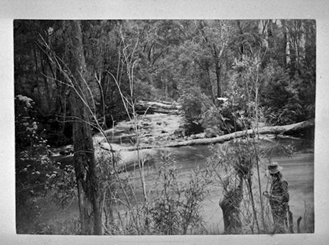
21/12/2015: Upper Yarra Track Winter Route:
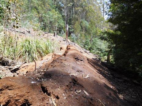
We
were looking for a ‘closed road’ which shows on the map Noojee
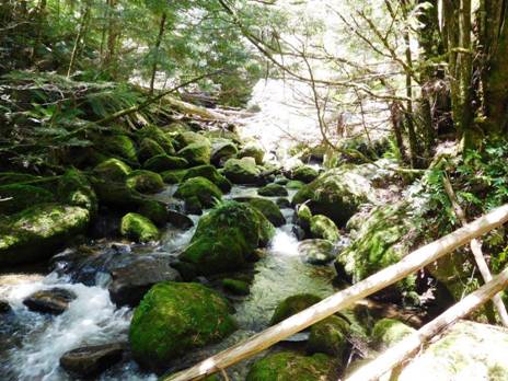
Turns out the GPS and map are seriously ‘out of kilter’ in this small area of map. I have found this before, eg on my walk to Mt Darling last year (http://www.theultralighthiker.com/snowy-bluff-mt-darling-wilderness/) I guess up to a km wrong! This meant I did a fair amount of bush bashing no doubt along what had once been old snig tracks etc, finding nothing but photo ops.
Finally we managed to locate the spot where the ‘road’ had crossed the river. Several huge pipes still lying in the river bed over which we were able to clamber without even getting our feet wet. This was on the way back actually. On the way across we took off our shoes and waded in our Crocs, as it did not appear we could make it dry-footed across the pipes. The water was so chill Della practically had a seizure. Sissy!
After
we had crossed the old road was easy to see and we followed it a couple of kms
up the mountain, but not quite as far as
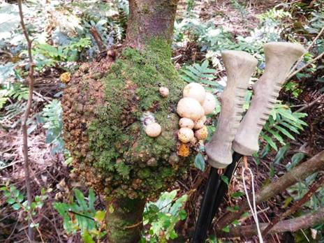
Disease can sometimes look beautiful: observe this amazing gall.
Della
has not quite recovered from her (second) eye operation, so we turned back
without having found our way to Frangipani Saddle where this route meets the
‘Upper Yarra Walking Track’ thus completing our ‘Winter Route’. There is always
room for another adventure. It will most likely be a couple of weeks before we
get back as we are working in the kids’ store Xmas-New Year. We have cleared
and marked the path (with blue tape) from the end of the driveable section of
http://www.theultralighthiker.com/western-tyers-river-great-for-crays/
http://www.theultralighthiker.com/the-western-tyers/
http://www.finnsheep.com/THE%20UPPER%20YARRA%20WALKING%20TRACK.htm
http://www.theultralighthiker.com/upper-yarra-track-update-section-one-moe-yallourn-rail-trail/
http://www.theultralighthiker.com/upper-yarra-track-update-section-three-wirilda-to-moondarra/
http://www.theultralighthiker.com/upper-yarra-track-section-four-moondarra-to-erica/
http://www.theultralighthiker.com/upper-yarra-track-summary-cumulative-distancestimes/
http://www.theultralighthiker.com/upper-yarra-track-osheas-mill/
http://www.theultralighthiker.com/a-beautiful-world/
http://www.theultralighthiker.com/upper-yarra-track-winter-route-caringal-scout-camp-tyers-junction/
http://www.theultralighthiker.com/upper-yarra-track-winter-route-western-tyers-to-tanjil-bren/
http://www.theultralighthiker.com/kirchubel-if-you-go-nowhere-else-in-the-world-at-least-go-here/
13/12/2015: Leeches: In Australia (and elsewhere) it is quite common to encounter these beasties in the wetter areas. They avoid sunny patches. They do you no harm, though many (like me) have an allergic reaction to their ‘bites’, so it is good to avoid them as much as you can. I have already recommended ‘Anthisan’ antihistamine ointment to treat allergic reactions to bites http://www.theultralighthiker.com/insects-can-ruin-a-camping-trip/ (you will have to order it over from a NZ pharmacy) and the practice of using surface spray (eg on your calves), tucking your trousers into your socks and wearing long-sleeve shirts in ‘leechy’ spots such as rainforest areas http://www.theultralighthiker.com/ultralight-personal-hygiene/ .
When you put up your tent for the night you don’t want to erect it on a hundred leeches and have them wriggling all over you all night. I have seen shady areas where when you wave your warm hand over the ground a hundred leeches will stand up and wave at you! You need to carry a small atomiser containing surface spray such as ‘Baygon’ (which can be bought from some supermarkets in bulk - ie not in spray cans) to suit such decanting. Atomisers of various sizes are available all over (try eBay). You will need to match the size to your need. You need to be able to spray the entire footprint of your tent plus an area say a metre around it. If/when you do have a leech attach to you, remember it will do you no harm (indeed they have been used for centuries for their supposed health benefits) and will eventually drop off. If you want to hurry that along a bit, a lighted cigarette or some salt will move them on mighty quickly.
If (like my wife) you don’t like the idea of sleeping on surface spray, carry enough salt in a snap lock bag to sprinkle the same area. This will kill and keep leeches at bay too.

11/12/2015: Kirchubel: If you go nowhere else in the world, at
least go here. Just a few kms walk outside the small
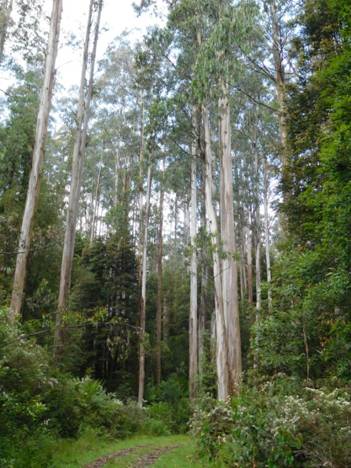
Many beautiful wildflowers carpet the verges: buttercups,
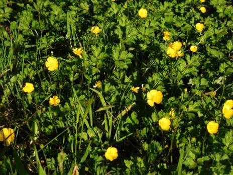
And Alstromoerias.

Just
before
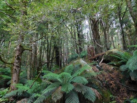
It
is so like
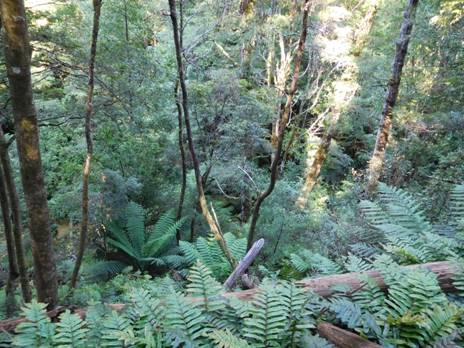
The dogs enjoy the rich, earthy smells of the deep forest litter beneath the majestic gums.
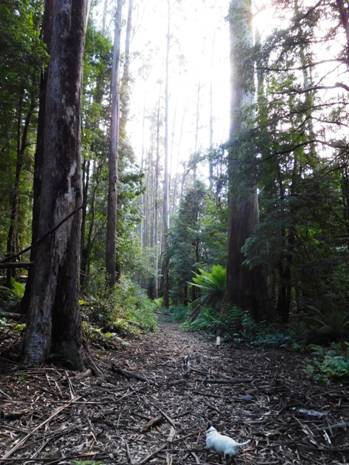
An old (closed) bridge begins Kirchubel‘s Tramway, its exploration to be saved for another day. Maybe some of the 18 old timber bridges yet survive?
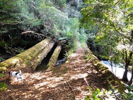
The
first of the
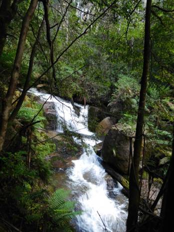
There
is a cast iron pipe at the top of the falls. Water supply to the lost
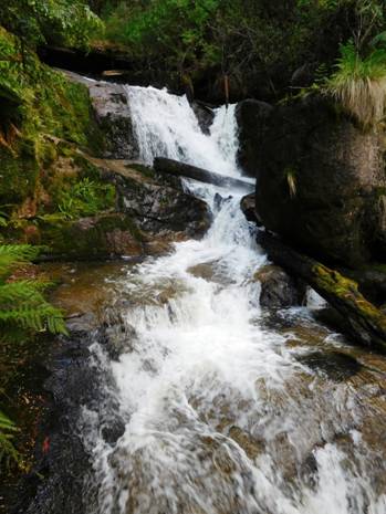
Some
recollections of this township (lost over 50 year ago) yet survive: Colin
Bigwood writes, ‘In the early 40's my
dad Roley Bigwood, my mum Elsie, and my younger Brother David and myself Colin
went to Kirchubel's sawmill to live. My Dad worked mainly on the breaking down
saw, and had a scar on his right upper-arm to show until he died where the saw
grabbed his thumb while fitting a packing block to the leading edge of the
bottom blade. He also was a leader in on one of the benches. When we first got
there Mr. and Mrs.
10/12/2015: Upper Yarra Track Winter Route:
Percy
Burn Viaduct,
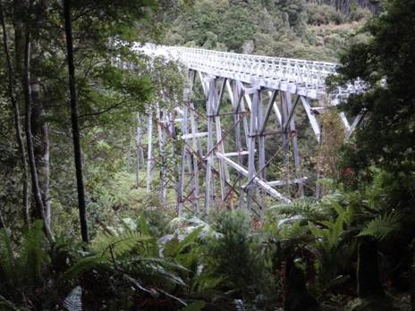
There
are a number of pleasant spots to camp along the way. I can’t tell you how many
times my kids played on this old log as they grew. The oldest is now 34: she first
went there when she was two! I have caught a couple of lovely crays or three
underneath it. up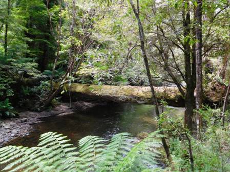
There are two campsites at Palmers. This is the first.
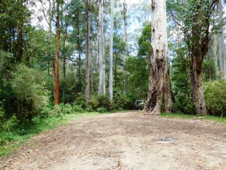
The second one where the bridge used to cross the river is where the tramline carried on to Growlers. It is still possible to walk along it – and the more who do, the easier it will be. You can continue on along the road, but the views of the river and forest are better from the tramway. nowadays.
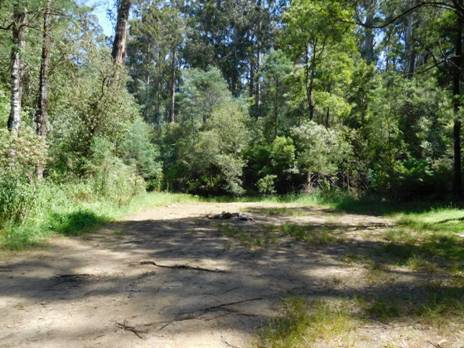
A refreshing dip on a hot day will surprise you how very cold the water is on the South Face of the Baw Baw Plateau.
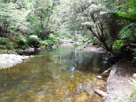
There are some wonderful rapids in this section of the river I used to enjoy when I was suicidally young and ebullient! There is also great fishing. The 2-3 km of the old railway is quite flat – a serene & peaceful camp could be made here and there along it. There is also a single pleasant camp where it rejoins the road just below Growlers, and multiple sites a little over a km further at Growlers itself.
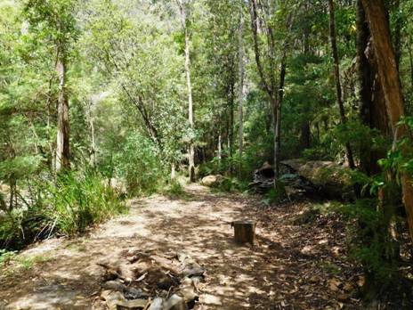
The old railway is easy going in places at least.
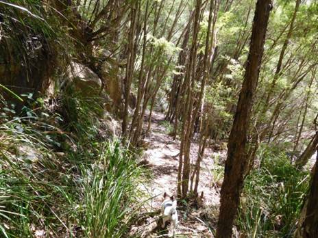
With great views of the river.
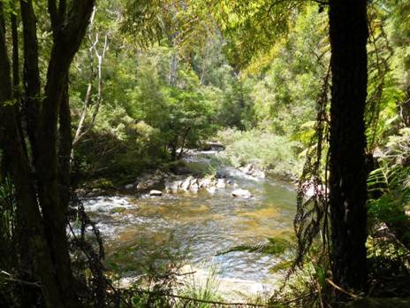
And some amazing rapids.
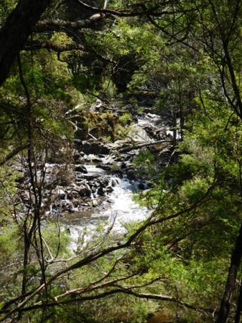
You never tire of watching water flow over stone.
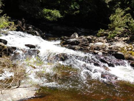
Spot enjoys the view too.
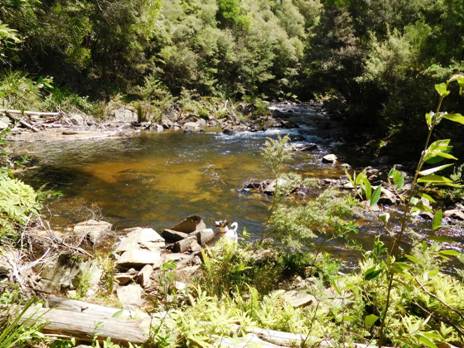
The road carries on up the river to Growlers.
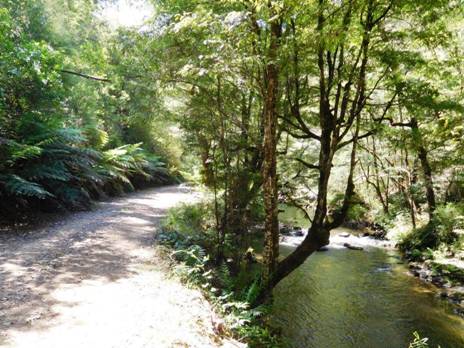
There are many wonderful stands of ash regrowth.
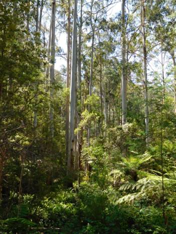
Growlers is a pleasant camp.

A quarter century ago I used to walk across the bridge at Growlers and follow the road which has now disappeared into the forest a couple of kms downstream to where there were immense sawdust piles over 20 metres high scattered along the river flats. Who knows how many forest giants they represented? Their insulative ability and I guess decomposition in their depths made them magically warm spots in the forest where no frost or snow would linger. They were a favourite bedding spot for deer, for that reason. I often put up a fine stag here. The forest is probably far too thick for hunting.
After you come out on to the Tanjil Bren Rd it is only a few kms to the turn off to Christmas Creek, a very pretty camping spot where you may wish to spend a night a couple of kms off your main route.
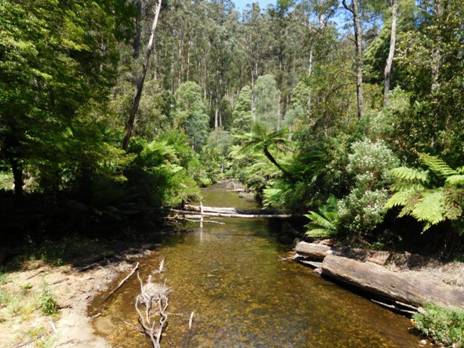
You can imagine camping by the bridge at Christmas Creek for a couple of days.
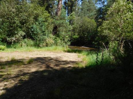
You
continue along the
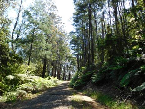
After
Tanjil Bren, a really beautiful side trip is to walk west along the
09/12/2015:
Baw Baw Plateau: has to be THE most beautiful area in the world. We spent
yesterday afternoon driving and walking around parts of its South Face working
out possible winter routes for our Upper Yarra Track project, discovering
mainly that we need to go back there for many awe-struck days yet. More pics
and posts to follow but feast your eyes on these two gems: Sunset view towards
the Strezeleckis from the
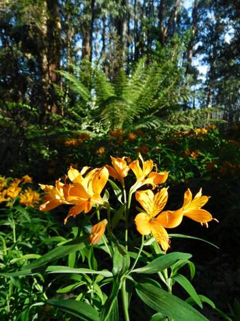
http://www.theultralighthiker.com/western-tyers-river-great-for-crays/
http://www.theultralighthiker.com/the-western-tyers/
http://www.finnsheep.com/THE%20UPPER%20YARRA%20WALKING%20TRACK.htm
http://www.theultralighthiker.com/upper-yarra-track-update-section-one-moe-yallourn-rail-trail/
http://www.theultralighthiker.com/upper-yarra-track-update-section-three-wirilda-to-moondarra/
http://www.theultralighthiker.com/upper-yarra-track-section-four-moondarra-to-erica/
http://www.theultralighthiker.com/upper-yarra-track-summary-cumulative-distancestimes/
http://www.theultralighthiker.com/upper-yarra-track-osheas-mill/
http://www.theultralighthiker.com/a-beautiful-world/
http://www.theultralighthiker.com/upper-yarra-track-winter-route-caringal-scout-camp-tyers-junction/
09/12/2015:
We went for a fantastic afternoon walk on the Baw Baw plateau
near Tanjil Bren yesterday. Wonderful waterfall and inspiring beech forest were
just two of the photoworthy features! Steve and I have concluded that we are so
lucky to live in Gippsland with boundless magical beauty surrounding us!
Anywhere else in the world, these features would be crowded with tourists and
hemmed in by fences and explanatory signs!
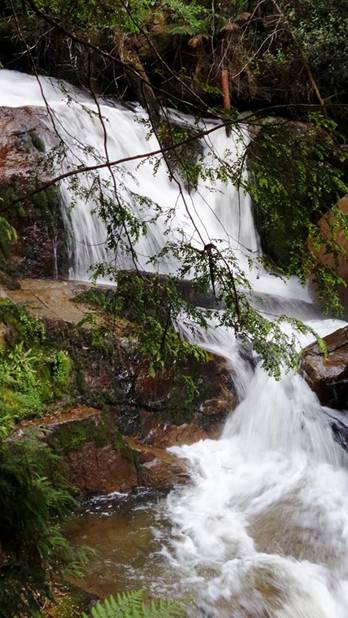
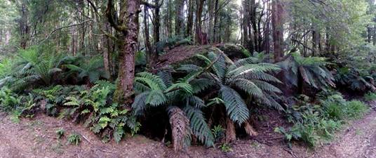
02/12/2015: Upper Yarra Track: Winter Route:
From
Caringal you can journey to
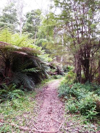
Pitmans Creek Track.
If you come down the Pitmans Creek Track from Buckle Spur you will first encounter Skinners camp just before you get to the river. It used to be a beautiful well-maintained camping area with toilets, barbecue facilities, shelter, information boards, etc. The Government seems to have abandoned it. You can still camp there though, or you can carefully cross the bridge and camp on the South side of the river. There are lots of blackberries and a few old fruit trees about, so you might get a feed – apart from the abundant trout and freshwater crays in the river. There are rabbits about in the blackberries too, so if you have brought your sling (http://www.theultralighthiker.com/how-to-make-a-sling/ - plenty of stones in the river) , you might be in luck!
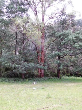
Skinners camp.
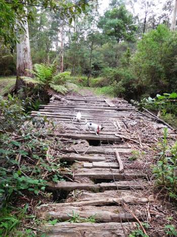
The dogs managed the bridge - surely you can?
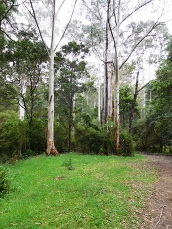
As
you cross the river to the South bank there is a river heights gauge on your
left. It was just below .2 metres yesterday and the river quite canoeable. If
you walk East along the riverbank reserve about 200 metres, after crossing a
small rivulet you will come to the abandoned chimney of Morgan’s Mill which is
on private land. There are two or three cottages about. It is worth a photo. https://en.wikipedia.org/wiki/Western_Tyers,_Victoria
I believe there is a road easement through the two locked gates (you can step
around them) on Morgan’s
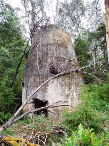
Mill Chimney ruins.
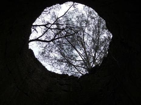
Creates some interesting perspectives...
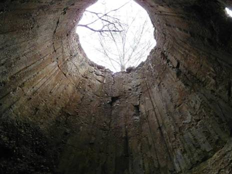
There
are a number of other pleasant spots to camp every km or so as you make your
way to the West along the
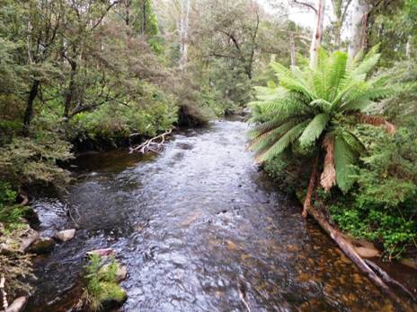
Upstream from the bridge.
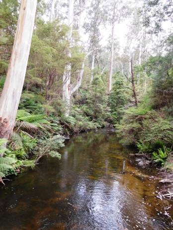
Downstream from the bridge. Note gauge.
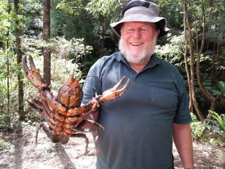
A Note on Crays: These guys are not yabbies. As you can see they are as big as lobsters, and just as delicious! They are easily caught especially if you have some string and bait. Some spoiled meat or fish-heads perhaps. I would usually put out a number of baits along the river in likely spots (near logs, bank overhangs, deep holes, etc) tied to @ 2 metres of string (I find the coloured builder’s line easiest to spot). As you come back to check them you will notice you ‘have’ a cray if the string is taut. Slowly pull it towards you, being sure not to jerk it and frighten HIM off. (Lady crays with babies are always out of season). A trout landing net is handy for scooping him up, or you can pin him with a forked stick, then step into the river and pick him up behind the claws. Don’t let those claws bite: it is as bad as getting on the wrong side of a ferret! If you don’t have any bait or string you can still pin them with a forked stick. A pair of polarised sunglasses will help you spot them on the river bottom where they are greenish rather than the red which is their cooked colour. When you cook them, you only need to wait until they change colour. A couple of minutes at most. If you haven’t a billy large enough, you might need to kill them by plunging a knife through their brains, then breaking them into cookpot-sized pieces - or throw them on the hot coals for a couple of minutes. They are Della's favourite food!
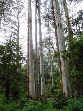
Typical Mountain Ash and Beech forest.
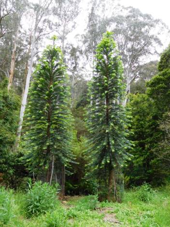
Much less typical, but strikingly beautiful plantation trees: Norfolks?
See also:
http://www.theultralighthiker.com/western-tyers-river-great-for-crays/ http://www.theultralighthiker.com/the-western-tyers/
http://www.finnsheep.com/THE%20UPPER%20YARRA%20WALKING%20TRACK.htm
http://www.theultralighthiker.com/upper-yarra-track-update-section-one-moe-yallourn-rail-trail/
http://www.theultralighthiker.com/upper-yarra-track-update-section-three-wirilda-to-moondarra/
http://www.theultralighthiker.com/upper-yarra-track-section-four-moondarra-to-erica/
http://www.theultralighthiker.com/upper-yarra-track-summary-cumulative-distancestimes/
http://www.theultralighthiker.com/upper-yarra-track-osheas-mill/
http://www.theultralighthiker.com/a-beautiful-world/
http://www.theultralighthiker.com/upper-yarra-track-winter-route-caringal-scout-camp-tyers-junction/
01/12/2015: Upper Yarra Track: Winter Route: Caringal Scout Camp: Tyers Junction
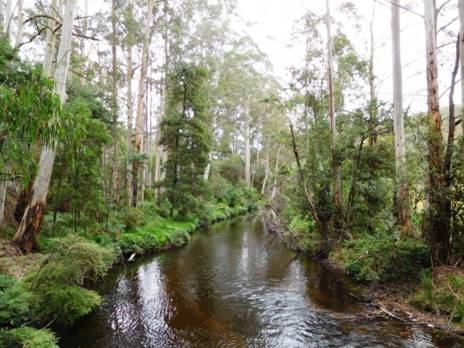
You
might reach here by walking down the rail trail from Collins Siding (10 km –
2-3 hours), where the cottages are on the main
See: Tyers Junction Rail Trail: http://www.railtrails.org.au/component/railtrails/?view=trail&id=49&layout=print&tmpl=component
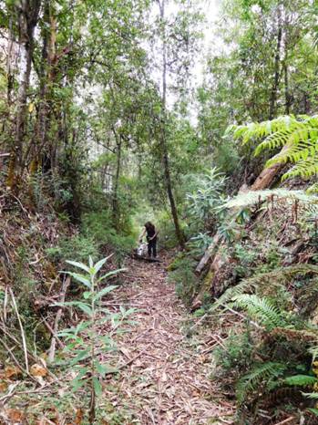
Della, Spot, old railway cutting.
Caringal Webpage: http://www.vicscouts.com.au/caringal.html
There are both powered and unpowered campsites at the Scout camp. I notice other folk camp at the picnic area outside too, or on the roadside across the river. I imagine though a hot shower, proper toilet facilities, undercover cooking, maybe some company etc are worth the $12.
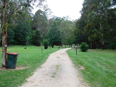
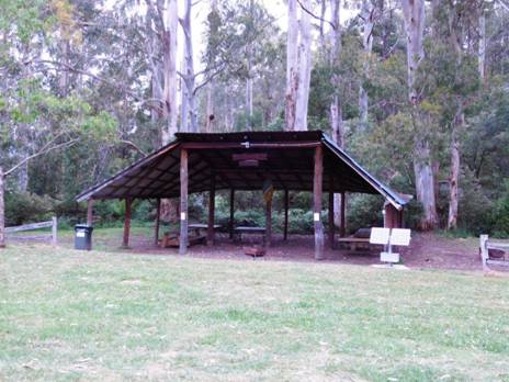
They also have more motel-style accommodation for less intrepid, better-heeled adventurers. Of course there is similar paid lodging elsewhere on the trail, for example: Yallourn North, Erica, Rawson, Walhalla, Mushroom Rocks, Baw Baw, Tanjil Bren, Noojee…
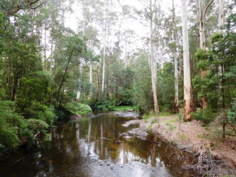
It
is a really beautiful spot where the waters of the East and
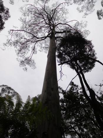
From
Caringal you can journey to
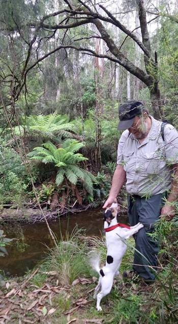
It
was really beautiful. A job of clearing for someone, but maybe not me. It is
worth walking along it as far as the old washed out bridge. You might pick it
up on the other side (and if you have your machete with you http://www.theultralighthiker.com/the-worlds-greatest-machete/
) journey on to
See also:
http://www.finnsheep.com/THE%20UPPER%20YARRA%20WALKING%20TRACK.htm
http://www.theultralighthiker.com/upper-yarra-track-update-section-one-moe-yallourn-rail-trail/
http://www.theultralighthiker.com/upper-yarra-track-update-section-three-wirilda-to-moondarra/
http://www.theultralighthiker.com/upper-yarra-track-section-four-moondarra-to-erica/
http://www.theultralighthiker.com/upper-yarra-track-summary-cumulative-distancestimes/
http://www.theultralighthiker.com/upper-yarra-track-osheas-mill/
http://www.theultralighthiker.com/a-beautiful-world/
30/11/2015:
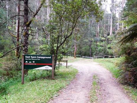
O'Shea's
Mill
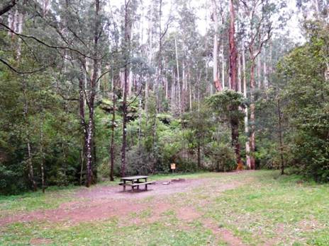
Even a picnic table in a sunny clearing.
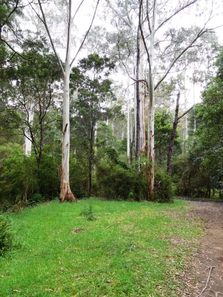
Lots of grassy flat spots to pitch a tent.
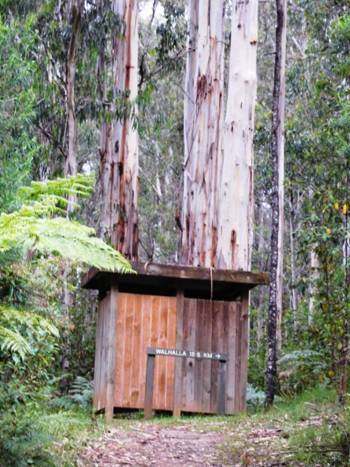
Mountain Ash grow quickly. This one easily 2-2.5 metres diameter at the base is likely younger than me!
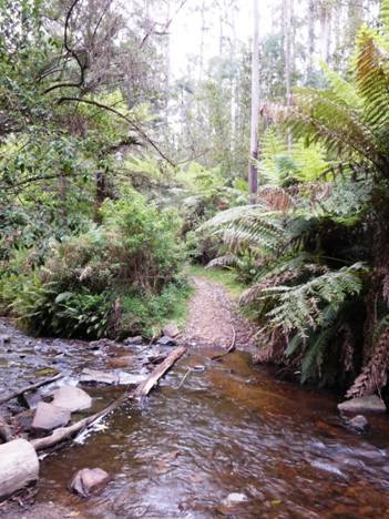
Pristine
water from the
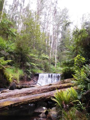
Or a waterfall.
30/11/2015: A Beautiful World: We did a little afternoon excursion
today to check on the existence of some old walking tracks around Erica. The
first pic is of Steve Jones with Spot where the walking track disappears at
Tyers Junction near the Caringal Scout Camp. It seems to be one of the 'roads
less traveled' judging by the overgrowth of blackberries and abundance of
fallen timber. I am sure that not too many feet have trodden that path since we
walked along it a couple of years ago. This is notwithstanding the numerous
scouts in the camp ground who obviously do other things than 'scout', it seems!
The second pic is a quick shot as we drove home through Moe. If sunsets are
beautiful, then the cooling

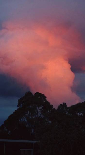
23/11/2015: Upper Yarra Track: Section Four: Moondarra to Erica: 20 km - 5.5 hours
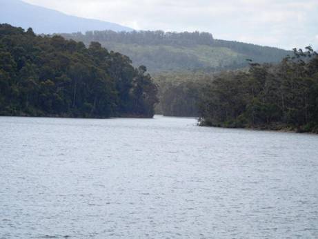
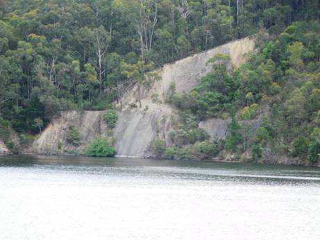
When you come to the end of the walking track, our walk continues on East along the W18 through beautiful serene forest. The first suitable campsite, a really beautiful spot with water is when the trail crosses Jacob’s Creek on the Old Traralgon ‘Road’.
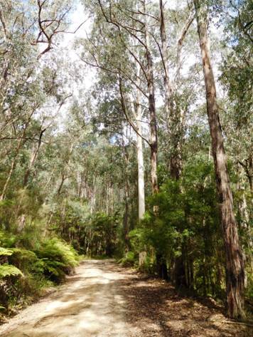
It is about 11 km and 3 hours easy walking away. Follow the W 18 East 1.5 kms. You will see an old (closed) bush track exiting North. This loops back onto the W18 about 1km further along. It can be taken to provide scenic views of the dam, and a quieter walk (though the W18 track is never busy). It adds about 1.5 km to the trip. You could possibly camp along it and scramble down to the lake for water, but it is a fair way.
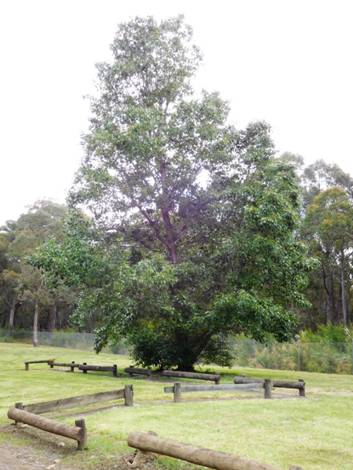
Gardens
at
Otherwise
you walk along the W18 for approx 3.5 km to just before the tar road (1-200
metres). You will see a motorcycle track join the W18 from the South and exit
it to the North where it has more the appearance of a dirt road. This
motorcycle track parallels the main road (about 100 metres inside the bush) all
the way to the
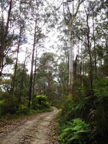
If you are short of water you can take one of these and go out on to the main road (also not busy) as there are fire dams along it (at least ten of them!) every .5 km or so; the last being just after your turn-off at ‘Conference Corner’, where you would turn to go to Cowwarr Weir and Brunton’s Bridge if you were heading that way. Each of these dams is set back 20-30 metres from the main road and surrounded by a grassy flat. I imagine you could find somewhere along here to camp if you needed to.
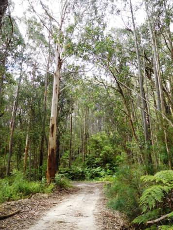
It
is approximately 5 km to the W2 Track or ‘
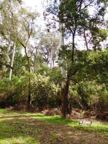
Jacob’s Creek to Erica: 9 km (2.5 hours) No water until you get to Erica.
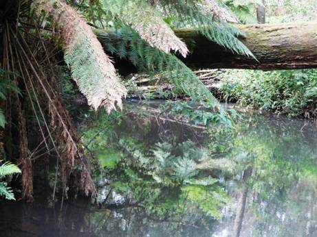
Jacob's Creek.
Leaving
this camp continue West on the Old Traralgon Road 1.5 km until you come to the
Old Coach Rd then turn North. Follow it 1.5 km until you come to Bluff (or
Jacob’s
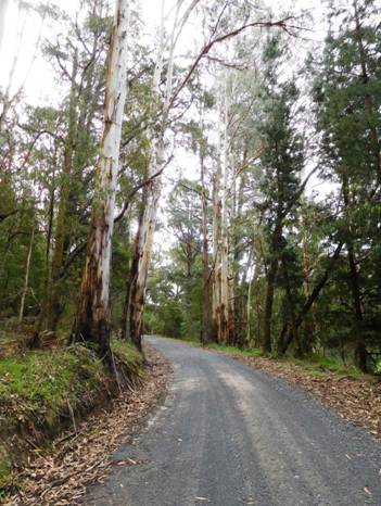
Jacob’s
As
you come in to Erica there is a Hotel (which serves excellent meals) on the West
side of the street and a
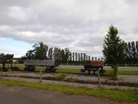
Remnants of the old railway line in Erica.
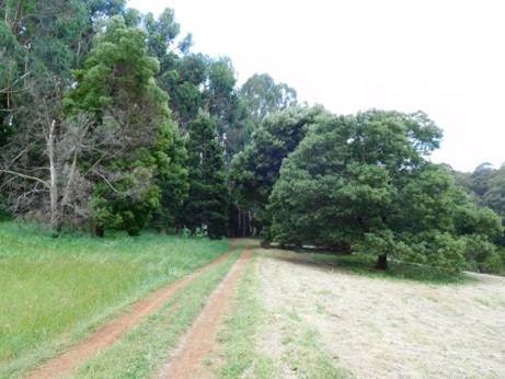
The Erica Walhalla Rail Trail Begins: Only `12 km to go!
The Vicmaps for this section are Moe North T8121-1-N and Walhalla South T8122-2-S
See also: http://www.finnsheep.com/THE%20UPPER%20YARRA%20WALKING%20TRACK.htm
http://www.theultralighthiker.com/upper-yarra-track-update-section-one-moe-yallourn-rail-trail/
http://www.theultralighthiker.com/upper-yarra-track-update-section-three-wirilda-to-moondarra/
23/11/2015: Upper Yarra Track Instructions:
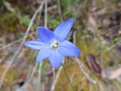
I am working on these instructions. (Who am I: http://www.theultralighthiker.com/about/) In time they will be complete. Today, (17/11/2015)I have completed the first section: Moe-Yallourn North. Today 23/11/2015 I have completed the next two sections: Yallourn to Wirilda and Wirilda to Moondarra. I am writing the instructions from Moe to Lilydale first. You can work backwards for the opposite direction. I will provide those notes when I have finished these ones. Scroll down to see:
NB: Rawson has the best intermediate supplies on/near the track with a small Foodworks supermarket. There is also a Foodworks in Yallourn North & Tyers, general stores in Erica, Walhalla and Noojee, and obviously lots of shopping in Moe, Warburton etc. I will also be doing a post soon about public transport to the track. For example, there is a regular weekday bus service to Noojee (about halfway), http://www.warragulbuslines.com.au/Timetables.htm#4 and a bus service Moe-Yallourn North- Tyers- Traralgon which gets you within an hour of the beginning of the Wirilda Track (saving approx 6.5 hours) and obviously there are almost hourly trains/trams to Moe, Warburton and Lilydale. Mountain Top Experience provides a bus service from (eg Moe) to eg Walhalla/Mushroom Rocks Car Park etc, for those who might wish to shorten the trip a bit: http://www.mountaintopexperience.com/tours/
Total Distance: Lilydale to Warburton 38km, Warburton to Mt Whitelaw 81.5km, Mt Whitelaw to Walhalla 43.5-49 (?) km, Walhalla to Moe 48 km (at least – this is the road distance: I WILL calculate the true track distance when I have time). Total 208+ km. Time 10-14 days?
MAPS:
Rooftop’s Walhalla-Woods Point & Yarra Valley-West Gippsland Adventure
Maps. 25K Downloadable Vicmaps http://services.land.vic.gov.au/maps/topo30maps.jsp
: Neerim North 25k_T8022-2-N, Noojee
North 25k_T8122-3-N, Walhalla North 25k_T8122-2-N & Walhalla South
25k_T8122-2-S Moe North 25k_T 8121-1-N, Moe South 25k_T 8121-1-S plus the
Android App ‘Avenza Pdf Maps’ from Google Play Store.
Cumulative distances/Times:
NB: These are ‘retiree’ walking speeds. The distances are approximate. You may do the trip much faster, but what’s the hurry? Moe-Walhalla will take 2-4 days. If you are young and fit you should be able to ride it on a mountain bike in about a day (approx 70km). You can split the journey (Roughly 7 days/4 days) by taking the bus to Noojee and walking up to the trail up the Ridge Rd off the Loch Valley Rd North of the township
Moe – Yallourn North: 10 km – 2.5 hours
Yallourn North-Wirilda: 15 km 3.5-4 hours ( 25 km -5 hours)
Wirilda – W3: 7 km 2.5 hours (32 km - 7.5 hours)
W3 – Moondarra – 7 km 3 hours (39 km - 10 hours)
Moondarra – Jacob’s Creek: 11 km - 3 hours (50 km - 13 hours)
Jacob’s creek – Erica: 9 km – 2.5 hours (59 km - 15.5 hours)
Erica – Thomson Station 8 km – 2 hours (67 km - 17.5 hours)
Thomson Station – Walhalla: 4 km – 1 hour (71 km - 18.5 hours)
Walhalla – Poverty Point: 7-8 km – 2-3 hours (79 km - 21 hours)
Poverty Point – O’Shea’s Mill: 6 km – 2-3 hours (85 km - 24 hours)
O’Shea’s Mill to Mushroom Rocks Car Park: 6-7 km- 2-3 hours (92 km - 27 hours) Walhalla South Map
Mushroom
Rocks Car Park to
Talhousie Glen - Whitelaw’s Hut Site: 9 km- 3-4 hours (111 km - 36 hours)
Whitelaw’s Hut – Frangipani Saddle: 7 km - 2 hours (118 km - 38 hours) Add .5 hours to water
Frangipani
saddle -
Newlands Rd Camp to Toorongo (Link Junction - Water): 9 km – 2-3 hours (134 km - 43 hours)
Toorongo (Link Junction) – Hill 956 (Falls): 7 km – 2 hours (141 km - 45 hours)
(Falls Return: 4 km – 4 hours)
Hill 956 – Fire Suppression Stream (3 x Water) : 3 km - 1 hour (144 km - 46 hours)
(Fire Suppression Stream to Noojee @ 24 km
– 6-8 hours = 54 hours =toMoe/30.5 =to Warburton)
Suppression Stream - Mt Horsefall: 6 km - 2 hours (150 km - 48 hours)
(Mt Horesfall- Penny falls (Water) 1 km - .5 hour each way)
Mt Horsefall - Davis No 2 Mill Site (Water): 4.5 – 1.5 hours ( 154.5 km - 49.5 hours)
Davis No 2 Mill Site - 7.5 North Loch Rd – 2 hours (162 km - 51.5 hours) (+1 km each way to Water)
Fire dam –Mc Carthy Spur Track 8 km – 2 hours (179.5 km - 56.5 hours)
McCarthy Spur - Lashos Corner (Water.5 km South) : 6 km - 2 hours (185.5 km - 58.5 hours)
Lashos Corner - Ada Tree: 5 km -1.5 hours (193.5 km - 60 hours)
Starlings Gap to Big Pats Picnic Area: 9 km – 3.5 hours (210.5 km - 66.5 hours)
Big Pats Picnic Area – Warburton: 6-7 km – 2 hours (217.5 km - 68.5 hours)
Warburton – Lilydale 40 km – 10 hours (247.5 km @ 80 hours) See: http://www.yarraranges.vic.gov.au/Lists/Parks-Facilities/Lilydale-to-Warburton-Rail-Trail
23/11/2015: Upper Yarra Track Update: Section Three: Wirilda to Moondarra
(@15 km – 6 hours) The track follows the true right bank (ie facing downstream) of the Tyers river until it crosses on an old pipeline. There are numerous spots where you could stop for a picnic, overnight or for a fish.

There are many beautiful wildflowers.
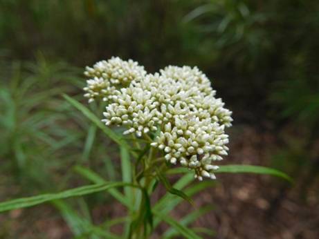
I usually don't like dogwood, but it has its beauties...
The impressive cliffs below Peterson’s lookout are a feature. Birdlife, wildlife and wild flowers abound. There are a number of side tracks which can be explored. Keep your eye out for signs of the old pipelines one of which was made of wood!
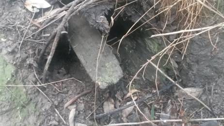
Old wooden water supply pipe.
Parks Victoria reckon this section to be 18 km and to take 5-7 hours (see brochure) http://parkweb.vic.gov.au/__data/assets/pdf_file/0010/315766/Park-note-Tyers-Park.pdf
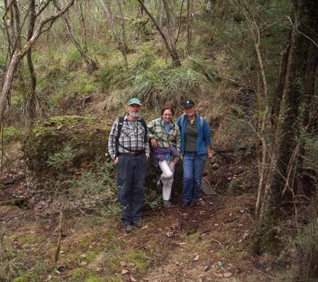
Giant Tor along the way: wouldn't have want to be around when the Titans were playing marbles with these guys!
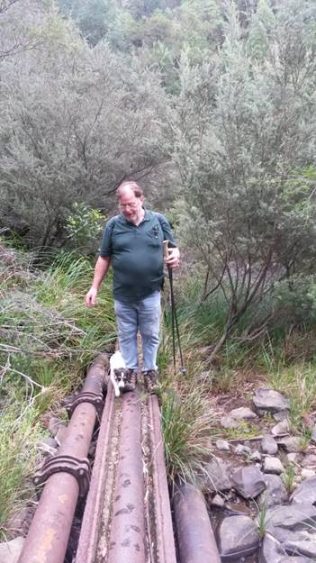
Pipeline crossing just South of w3 track.
Park
notes: ‘The open forests are dominated by Yertchuk and Silvertop, with an
understorey of wattles, tea trees, sedges and grasses. Along the ridges, an
open
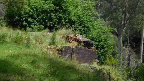
Figure 1Old lime kilns on W3 track.
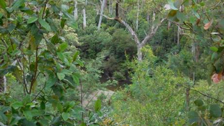
Frequent glimpses of the river.
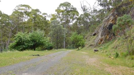
Rock face just right for climbing.
It
is approximately 2- 2.5 hours to two splendid camps on the W3 track. The first
may need you to carry water 15 minutes from the pipeline crossing point
(sometimes just under water) just below the W3. At the second camp where the
old limestone kilns and some ancient apple trees can still be seen, water can
easily be obtained from the river (100 metres). The cliff face opposite the
kilns is popular for rock climbing practice. Don’t! An alternative more private
camp can be found earlier by turning towards and passing through the locked
gate when you hit the W3 track, approx a further 1km along past it. Water is
available from the river. There are many miles of locked roads in the
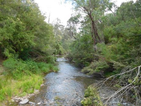
It is a lovely little river.
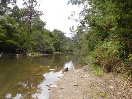
So many pretty stretches.
The track descends from the W3 to Whites creek (water) then contours through fern groves until it meets a 4WD track which joins the W12. You follow the W12 downhill to the river. There is a camp 45 minutes along the track from the W3 just off the W12 track .5 km South of the bridge Just before you get to it you may notice another old picturesque water supply weir in the river. From the W12 track it is approx 2 hours to the W18 track (Moondarra).
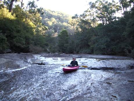
The river is canoeable, but some places you can get stuck.
The
river is canoeable for a very long way…You can probably start at Christmas
Creek on the
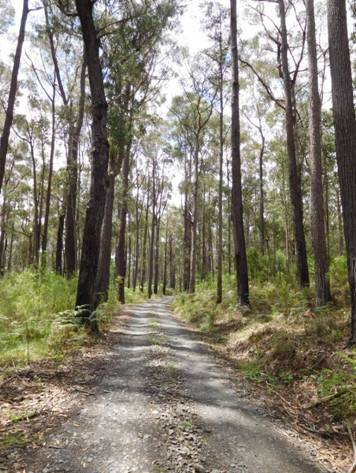
A diverse range of different trees.
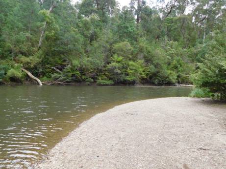
Camping on the many sandbars is an option.
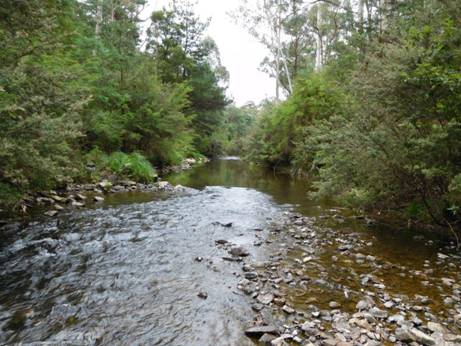
The trout were rising here: fresh fish for supper!
After you leave the W12 the track crosses a minor stream (water) then zig zags upwards away from the river until it meets a 4WD track (the W18.2) which it follows for about a km, then it descends fairly steeply to the river once more. The track follows the river for the last kilometre or so and is mostly only 10-20 metres from it. You can be looking out for a spot along here to put up a small tent (even in the middle of the track would be fine); lots of spots. You can camp just before the Moondarra end of the track., just before the spillway viewing area (keep an eye out for it) , or near the bridge over the small stream about 200 metres from the W18 Track. The next good camp with water is about 3 hours further on…
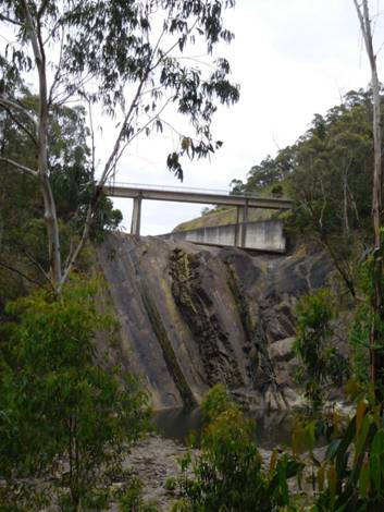
Spillway from viewing area approx 300 metres from the end of this section.
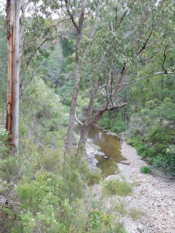
View downstream from spillway.
When you come out onto the W18 track (which crosses the dam wall .5 km to your West – great views of the lake) you can also walk up to the gardens and recreation grounds a further 1 km beyond the dam viewing area where there is water and toilets and lot of mown grassy flats, as there is below the dam wall as well.
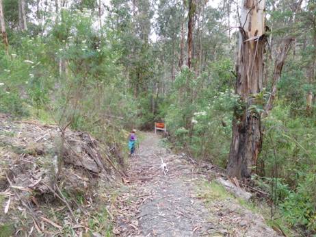
Moondarra end of the track within site of the railing of the bridge across the spillway.
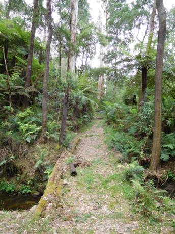
This lovely stream: Last chance to camp.
The Vic map for this section is Moe North: T8121-1-N
See also: http://www.finnsheep.com/THE%20UPPER%20YARRA%20WALKING%20TRACK.htm
http://www.theultralighthiker.com/upper-yarra-track-update-section-one-moe-yallourn-rail-trail/
23/11/2015: Upper Yarra Track Update: Section Two: Yallourn
North to
(@15 km – 3.5-4 hours)
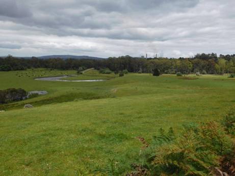
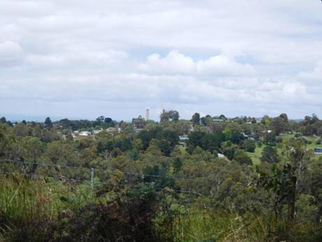
Yallourn North nestled in its hills.
Latrobe
Valley Bus Lines run regularly to Yallourn North and Tyers townships: http://ptv.vic.gov.au/route/view/8366
This can save you nearly a day’s walk if you are pressed for time. Enquire if
the bus will stop at
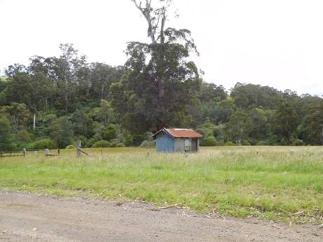
This
section is easy going along quiet country lanes with lovely vistas and ample
shady spots if you need a roadside rest to enjoy the view. You look out
Southwards over the verdant
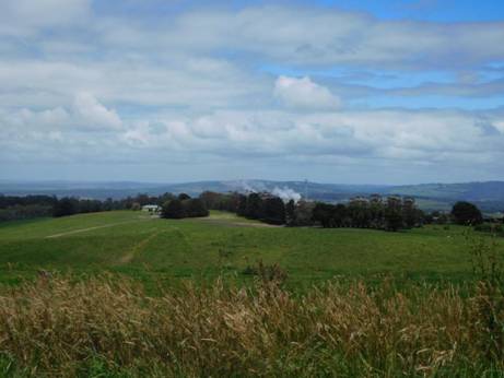
Looking Back at Yallourn Power Station
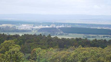
Australian Paper refinery Maryvale; Strzelecki Ranges Beyond.
(There are also many great walks at Wilsons Prom http://parkweb.vic.gov.au/explore/parks/wilsons-promontory-national-park/things-to-do/southern-prom-overnight-hikes and just across the valley is the Grand Strzelecki Track with over 100 kms of trails: http://www.tourismwellington.com.au/balook-tarra-bulga/attractions/item/grand-strzelecki-walking-track .)
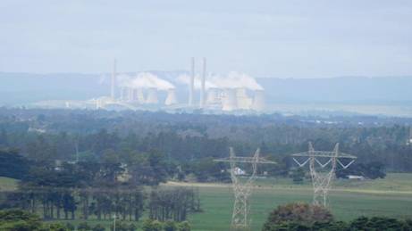
Loy Yang Power station, Strzelecki Ranges Beyond
Once
you leave the licenced Foodworks Supermarket, walk up the hill to your West
(3/4km) and turn North down
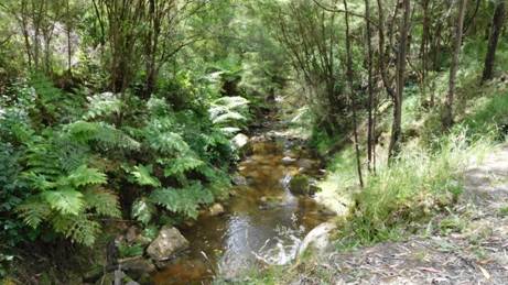
Anderson Creek.
¾ km along Murray Rd you cross the very pretty Anderson Creek which is your last water for the next 12.5 km (3 hours) except for numerous beautiful dams in farmer’s paddocks (beware bulls if you need to jump a fence on a hot day!)
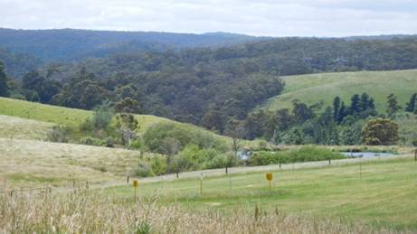
When
you reach
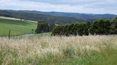
Follow
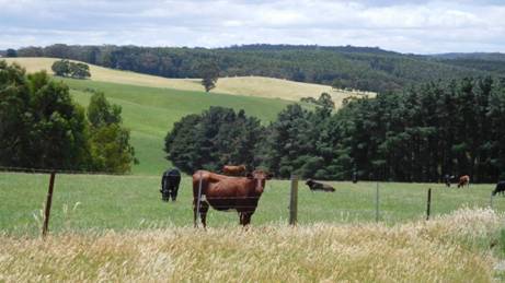
From there it is about ¾ km to lovely shady flat campsites along the river near the weir (great swimming hole in hot weather). Toilets, seats and water available. The Wirilda Track begins here and is clearly signposted next to the Morwell Pumping Station building.
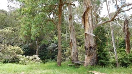
Above & Below: Wirilda park - a lovely spot to camp.
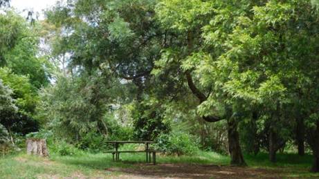
You may happen to stay a few days at Wirilda: there are innumerable bush tracks and swimming holes to explore. The river abounds with trout, blackfish, spinyback crays (and unfortunately European carp) so a fishing licence is recommended.
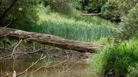
Above
& Below:
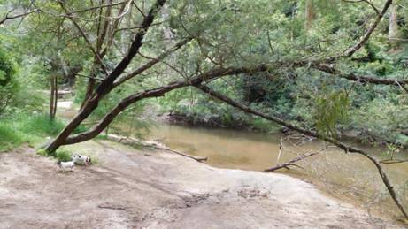
It
is 4.5 km walk East in to the
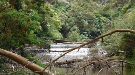
Weir at Wirilda - a great swimming hole.
See also:
http://www.finnsheep.com/THE%20UPPER%20YARRA%20WALKING%20TRACK.htm
http://www.theultralighthiker.com/upper-yarra-track-update-section-one-moe-yallourn-rail-trail/
18/11/2015: Upper Yarra Track Update:
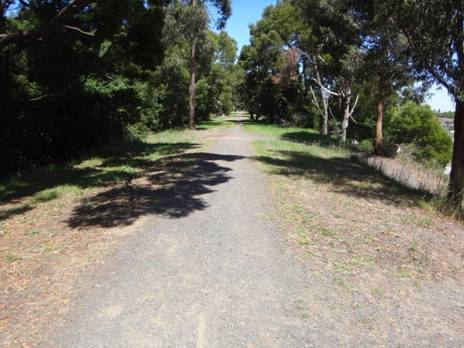
The trail begins...
Section One: Moe-Yallourn Rail Trail:
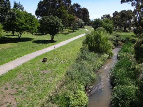
This lovely @ 8km (2 hour) trail starts @ 200 metres East of Moe Railway Station (just past the two railway bridges you can see from the station) at the corner of Narracan Drive & Bennett St.
Wiltshire Horn ewes and lambs no more than 200 metres from Moe Railway Station.
Within 100 metres you are in another world. On the right are the beautiful Moe Botanic Gardens; on the left a small paddock full of sheep – which is extraordinary.
Moe is a large country town (pop 15,000) a little over 1 hour by train with services approx hourly. You will be able to see a large Woolworths Supermarket on your left as you come up to the railway bridges. The shopping centre has at least one other supermarket and many other shops. The Botanic Gardens nestled along pretty Narracan Creek are worthy of a little exploration before you head off towards Walhalla. Then, on to the rail trail.
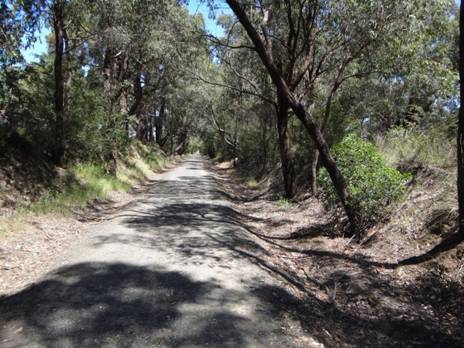
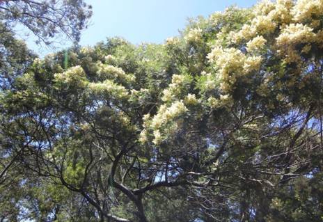
Being
an old railway line it is obviously dead flat all the way to the Yallourn Power
Station on the beautiful
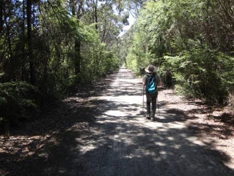
Obviously there are toilets and water at the Railway Station before you set out, again in Sullivans Rd halfway to Yallourn PS (signposted), then at the picnic area behind it (signposted on the Yallourn North Rd Bridge crossing), and finally in the main street of Yallourn North.
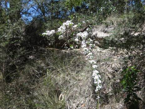
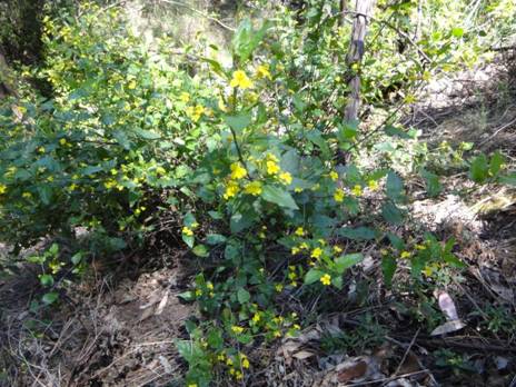
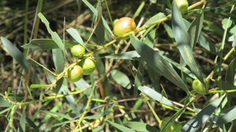
The sights are varied. Surprisingly for almost the entire length of the walk to the power station you are enclosed in a curtain of native vegetation (of varying width) with abundant wildlife (birdlife especially). There are always some beautiful wildflowers in bloom.
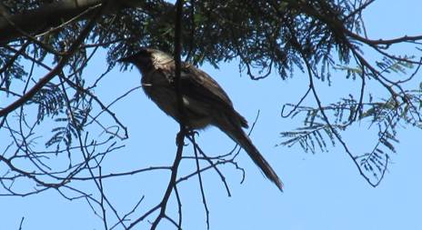
Wattle Bird
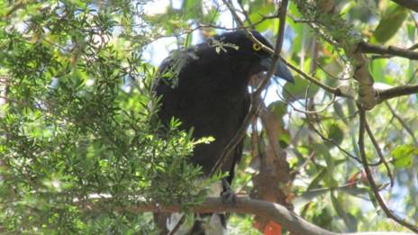
Currawong
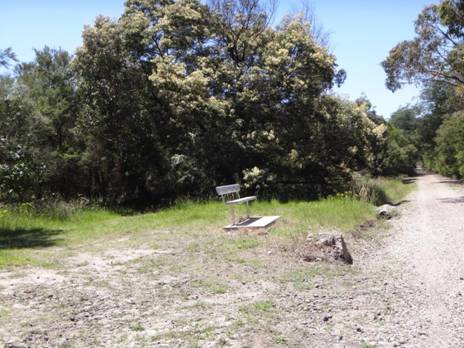
The concrete foundations of the old railway telegraph poles make excellent seats every 50 metres or so. Just great for a picnic lunch – perhaps a sandwich and a glass of wine bought back before leaving Moe. Here and there park benches are thoughtfully provided as well. The track has distance markers (which can be used as references for making emergency calls). Telstra NextG works fine the full length of this section.
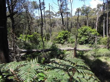
In places the trail is fringed with forest.
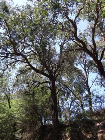
Often
there are glimpses of distant paddocks or beautiful
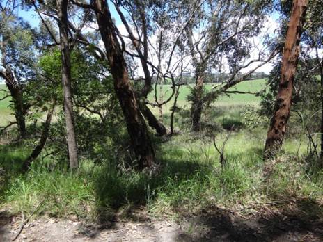
I see no reason you could not camp along the sides of the track (there are little flat spots here and there a tent could be erected), or along the banks of the Latrobe or in Sir John Monash Reserve. You would have to carry any water needed to them.
At
The cooling towers are great works of art.
The diversion is worth it, what you are seeing is the lower reaches of Lake Narracan sometimes glimpsed earlier through the trees to the North, but it is also worth backtracking along the ‘proper’ route when you get there a bit and viewing the wonderful towers through the frame of the underneath of the Yallourn North Road Bridge.
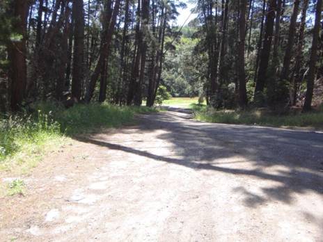
Sir John Monash Reserve
From
the ancient pines of Sir John Monash Reserve you can continue along 3-400
metres of riverbank track to the
Next
stop:
Announcing
The
I will also be doing a post soon about public transport to the track. For example, there is a regular weekday bus service to Noojee (about halfway), http://www.warragulbuslines.com.au/Timetables.htm#4 and obviously there are almost hourly trains/trams to Moe, Warburton and Lilydale. Mountain Top Experience provides a bus service from (eg Moe) to eg Walhalla/Mushroom Rocks Car Park etc, for those who might wish to shorten the trip a bit: http://www.mountaintopexperience.com/tours/
26/10/2015:
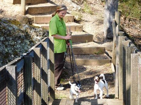
It
was a hot day, the dogs were thirsty though they appear to be smiling – Tyers
State Park is another spot they are forbidden to be; they seem unconcerned.
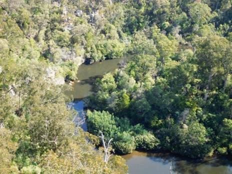
The
Wirilda Track is down there on the other side of the river; some good swimming
holes.
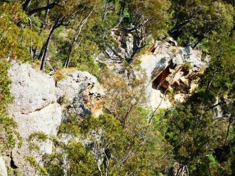
Wonderful
jumping opportunities.
03/09/2015: Upper Yarra Track Mementoes: A Big Tree Nr Mt Horsefall (before the 1939 fires!) Thanks to Thomas Osburg for the wonderful photo. I love the dog. I wonder are there still a few of these hiding in the catchment somewhere? Won’t know unless I take a look!
Note
to camping at Mt Horsefall: Mt Horsefall has a beautiful @ 5 acre grassy
clearing at its summit with @360 degree views so on still days it is a
beautiful spot to camp. Unfortunately there is no water. There is water at the
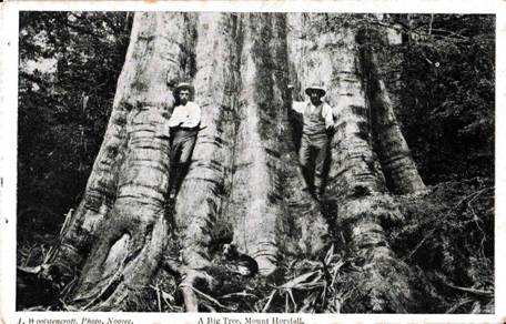
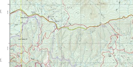
20/07/2015: UPPER YARRA TRACK UPDATE: HISTORIC PHOTOS: Courtesy of Thomas Osberg, here are some wonderful photos of the track in bygone days. They begin at approx McVeigh’s Hotel (now under the Upper Yarra Reservoir), and finish at Walhalla. The captions are my surmise (and might not be correct). The changes in hiking costume and gear from that day to this are quite interesting!
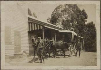
1. MacVeighs Hotel
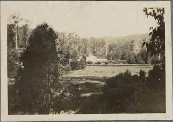
2. Looking back towards McVeighs
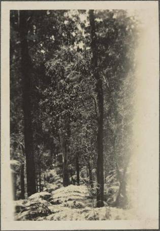
3. Between McVeighs & Upper Yarra Hut(s)
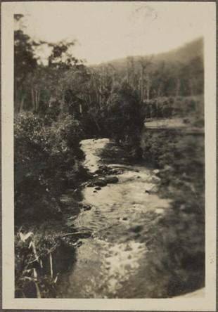
4.
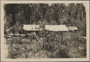
5.
New (Left) & Old
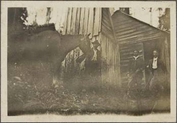
6. Old Upper Yarra Hut
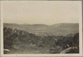
7.
Ridge above the
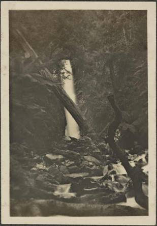
8.
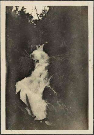
9.
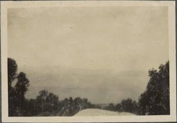
10. Top of the ridge above Falls Creek?
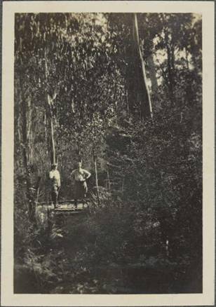
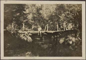
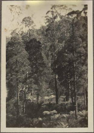
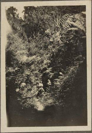
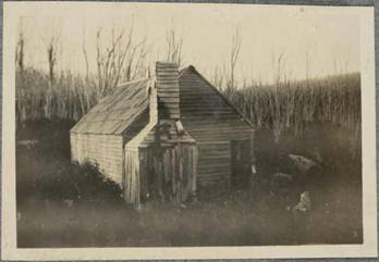
15. Myhrree area?
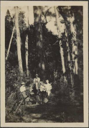
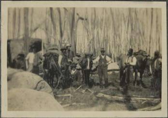
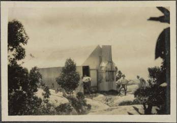
18. Prob. Mt Whitelaw Hut.
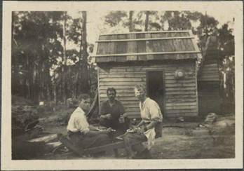
19.
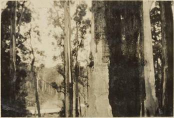
20. Track Marker Tree.
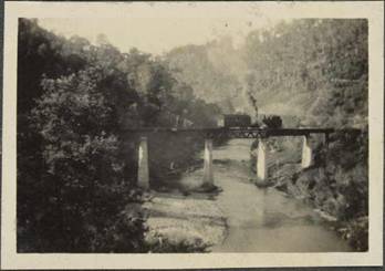
21.
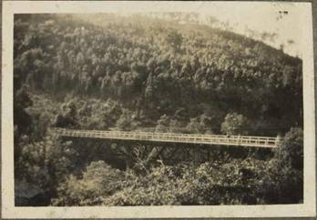
22.
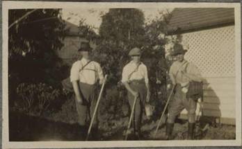
19/05/2015: UPPER YARRA TRACK WINTER UPDATE: Spot and I planned to
finish working on the path to the
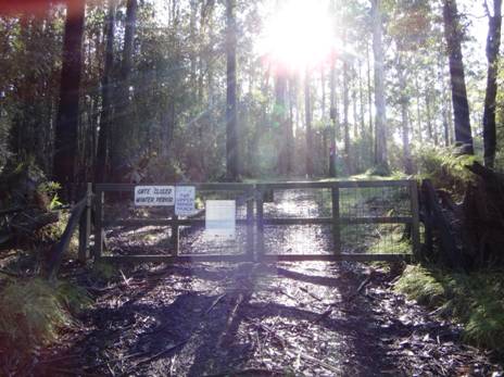
Spot
keen to walk the Forty Mile Break behind the locked gate Upper Yarra Track
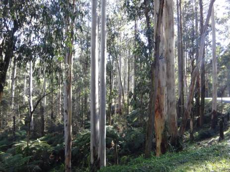
Many
beautiful spots along the way, eg
18/03/2015: UPPER YARRA TRACK MEMENTOES: I returned from yesterday’s foray with these two. This afternoon Merrin was alarmed at what she saw as injuries to my right arm, what to me were just scratches, or badges of pride. Swinging my machete, the blasted ‘lawyer’ or ‘wait a while’ vine (so named ‘cause it won’t let go!) cut like a wire saw into my arm, but I needed to get through it and the dreadful prostrate shrubbery underlying it, and I did. I also brought back this interesting potshard. I imagine it forms a relic of the crockery supplied (by the C19th Government) at one of the Upper Yarra Track wayside huts. On a future visit I will try to find some more to confirm this:
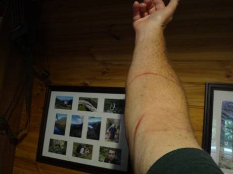
17/03/2015: UPPER YARRA TRACK:
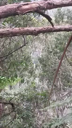
Major Fall centre.
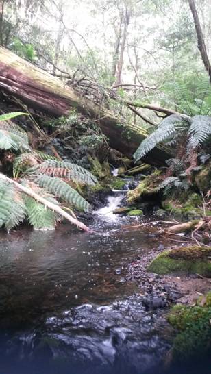
Falls Stream crossing.
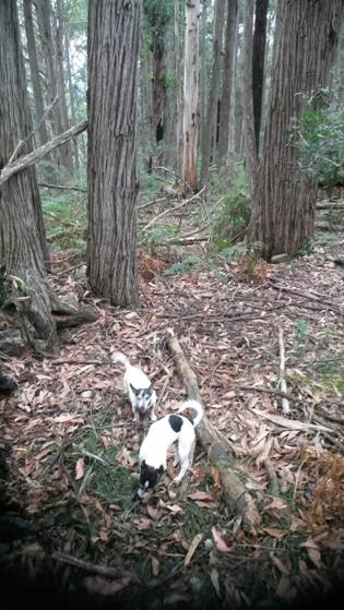
Ridge
above the Falls Hut ruins.
11/02/2015:
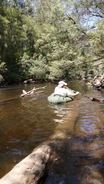
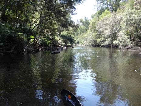
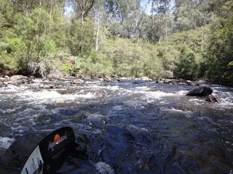
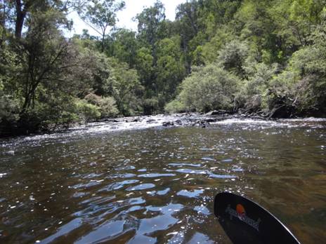
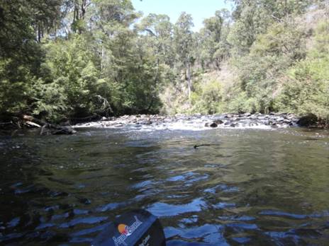
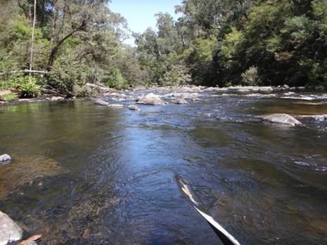
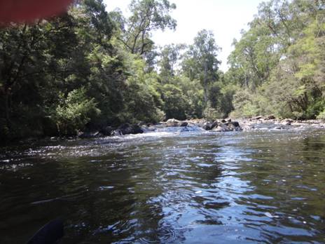
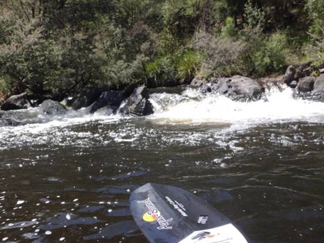
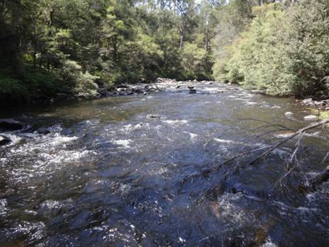
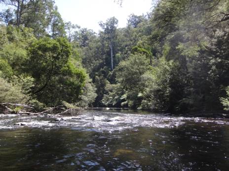
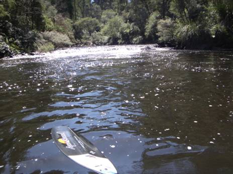
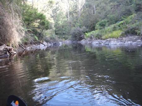
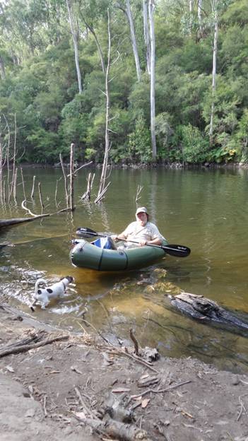
31/01/2015: Yarra Falls (1928). Further efforts to uncover this ‘lost’ treasure are needed:
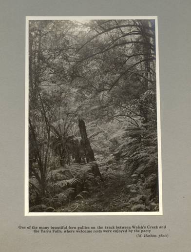
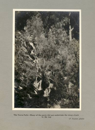
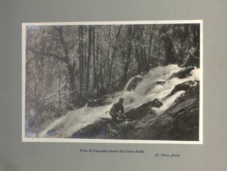
24/01/2015:
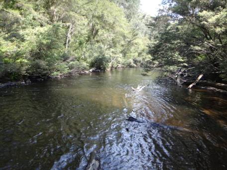
Tanjil River Rowleys Ridge Bridge Gauging Station Downstream view.
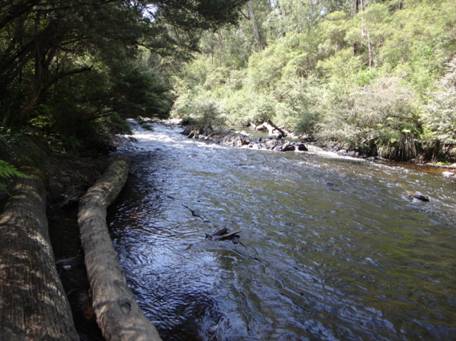
24/01/2015: Upper Yarra Track: Here’s a little TREASURE: ‘The Open Road in Victoria Being The Ways of Many Walkers’ (1928) by Robert Henderson Croll Vice-President of the Melbourne Walking Club With Eight Illustrations http://gutenberg.net.au/ebooks14/1402821h.html It has a whole chapter on ‘The Baw Baws.’ Also see: http://gutenberg.net.au/walking.html for more old Australian hiking books. An excerpt: ‘With the commencement of the bridle track at McVeigh's the way is truly the walker's. For nearly 16 miles it is a sidling pad winding just above and always within sight, or at least sound, of the Yarra, here a babbling stream running at the foot of a steadily deepening valley. Higher and higher grow the hills, well clothed, particularly on the right bank, with tall timber and luxuriant shrubs. The slopes above the river look primeval and un-trodden. But the trail is an old one, as old as the early mining rushes, and doubtless those resolute pioneers, the diggers, left little even of this hilly country unexplored in their search for gold. A reminder of the period is the unusual blaze on the timber—a T, to signify the Tanjil track. Just before the 15-mile post, shown in red on a tree, two huts come into the picture. Each is of iron, and each is well constructed to meet the needs of tourists, it being understood that these bring their own food and bedding. The newer structure has a cement chimney and cement floor, a couple of large windows, a table, a form, and some boxes for seats, half a dozen billies, a frying-pan, a bucket, an axe, a broom, four stretchers, with spring mattresses (and there are as many more in the neighbouring hut) and about a dozen mugs and plates. There are two rooms available for visitors, the space over all being about 50 feet by 15 feet. The old hut is much smaller, but is weatherproof, and at least a shelter in rough weather. On Falls Creek, which joins the main stream at this point, six picturesque waterfalls occur within a mile and a half of the camping ground. They are readily accessible, the track to the main fall (the first) being in good order and of an easy grade. The other five take a little more climbing to see.’ You will see that the hut I already posted a photo of was clearly the old hut. The concrete floor of the new hut (plus chimney) if cleared might make a useful leech-proof campsite.
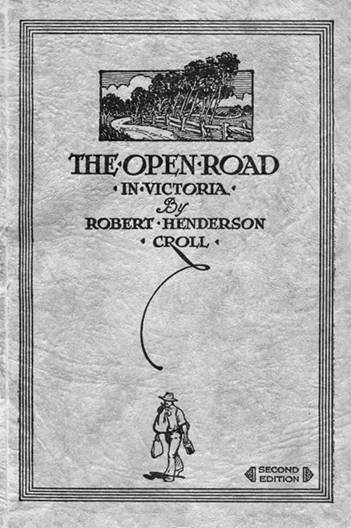
23/01/2014:
1925 Sketch map of
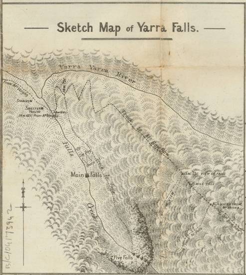
Converted distances taken from 1925 Baw Baw Tourist Maps:
Falls Hut to Falls Creek (4 Chains) = 80 metres
Falls Creek to Main Falls Track (8 Chains) = 160 metres
Thence to View of Upper Falls (81 Chains) = 1629 metres
Thence to Upper Falls Track (7 Chains) = 543 metres
This
‘Sketch map’ is better quality then the one I found before and reveals details
I had not been able to see. For example, I now see that there was a path down
alongside the ‘Minor’ Falls from top to bottom on the true right bank. Then
there was a path from the bottom to just below the main Falls, (from there a
zig-zag path to the bottom of the
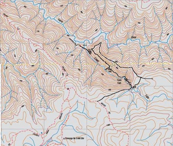
I
noticed that ‘Big Ben’ has already been there, and that there is a campsite at
the junction of Falls Creek and the
‘I drove along the dirt track to the south of the river and slowed down to look for the thinnest section of undergrowth to start my walk. There wasn't one really, so I reversed up and picked the "thinnest" undergrowth to walk through. After a short distance the undergrowth became much clearer and the going was much easier. Another 100m or so and I found a piece of yellow electrical tape hanging from a twig. I guessed that someone else had marked a track to the first waterfall at the top of the Falls Creek valley (since there was really nowhere else to go) and sure enough I found another piece on the same bearing that I was walking. Enough people had walked this "track" that you could just make out a trail on the ground. The trail continued along tree trunks wherever possible to avoid walking through the bush.’
(NB: ‘Ben would be referring to beginning in the vicinity of Hill 968 between Toorongo No 3 Rd to the South and Rd 12 to the North off the Forty Mile Break Rd eg on 25K Vicmap Noojee North T8122-3-N)
‘In
no time at all I reached the top of the first waterfall. There used to be a
track cut down the north side of the valley that went down to the other 4
waterfalls just below and then on to
The forest had been reasonably open until this point. It then changed and became hopelessly tangled. The steep slope combined with the almost impenetrable undergrowth and countless slippery branches lying on the ground made the going very hard. I eventually reached the top of the ridge and was disheartened to find that it didn't get any clearer. After struggling through another 100m or so of thick undergrowth it all suddenly disappeared.
The forest opened up completely with only leaves and logs on the ground. And what logs they were. It's not often that I have to climb over a log but the trees here had been saved from logging and the fallen trees were huge. I found no sign of any blazed trees marking the old trail but occasionally I thought I could see a levelled overgrown track about 1.5m wide.
I made fairly quick time down the ridge which became steeper and steeper towards the end and as suddenly as the forest had opened up it became a dense tangle once more. The last 100m down the ridge was soul destroying. It required so much effort just to take one step that at one stage I just turned around and pushed through the undergrowth with my back pack. The undergrowth was so thick that I ended up walking on bent, intertwined branches and would occasionally find myself about a metre above the ground.
I eventually made it down to the beautiful
junction of Falls Creek and the
The walk up Falls reek turned out to be a relatively simple one. The entire walk was in amongst a wonderful fern gully. I had to keep swapping from one side to the other as the bank became to steep but there was always somewhere to walk, even if it was on top of a 1.5m wide tree trunk. The only really annoying part was the leeches, but considering the length of the walk I didn't fair that badly.
Eventually I reached it, 'the black hole' as it was sometimes known. The sides of the valley are so steep that from above, you could hear the waterfall but not see it. The falls were a little shorter than I expected and the gorge into which it fell a little wider. This was certainly not, though, a black hole. After emerging from the darkness of the tree ferns this was quite the opposite and I spent most of my time waiting for the sun to go behind a cloud.
The original photograph that I had seen of these falls was taken from a small ledge about 5m higher than the viewpoint for the photographs above. A tree fern obscured the view from this ledge so I didn't bother attempting the tricky climb to it.
I stayed there for lunch before heading back down along the creek. While I made 'good' progress it must have been slower than I thought as I returned to the tent in fading light. After evicting the leeches from my tent I settled down for a good nights sleep in preparation for the walk back through those two stretches of thick undergrowth and a few unexpected finds.
A few light showers overnight had made everything dripping with water but it wasn't really very cold. I decided against putting my waterproof pants on as they would probably make me too hot. This turned out to be a good move. After packing up my campsite I tried to find a break through the undergrowth for my return journey. There were none. It was going to be a couple of hours of take one step, part the branches, put the camera bag on the ground ahead, part more branches, take one small step, part the branches..... over and over.
When I reached the clearer forest again I found a piece of green electrical tape on a small tree. It was on what appeared to be another remnant of the old track, a level section cut across the slope about 1.5m wide. The track went left across the ridge and another piece of tape made me guess that someone had tried to retrace the old track. That's all very nice but I just wanted to go home and I headed straight up the ridge.
The old tourist map of
This part of the creek was typical of the difference between this forest and any other that I had walked through. Normal fire prevention management reduces the amount of dead timber and leaf litter on the ground. Here, in the absence of such practices there were logs everywhere... not just across the creek but everywhere down the slope. This made walking quite tricky with the occasional slide down a slippery log to get the adrenaline going.
While
heading back towards the first fall I came across a beautiful patch of forest.
Three giant tree trunks crossed a small creek at different angles, providing a
perfect bridge and an excellent 'aerial' view of the forest floor. From here I
followed the yellow tape back to the road and emerged from the forest a short
distance from my car. What else lies hidden in these
23/01/2015: Upper Yarra Track: A couple of GEMS: 1925 Tourist Brochure and Map. Even better quality copy
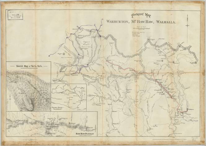
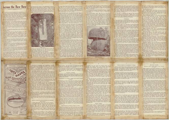
21/01/2014:
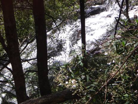
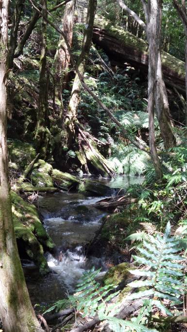
Mystery Falls Creek
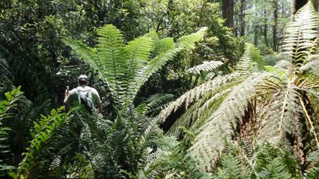
Thick going in places
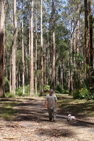
Beautiful
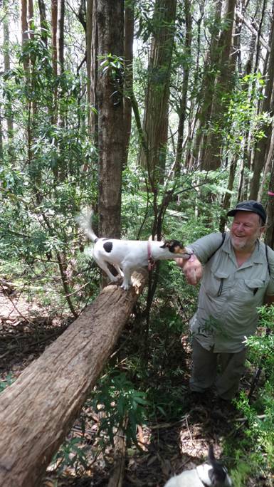
Emergency First Aid from Spot
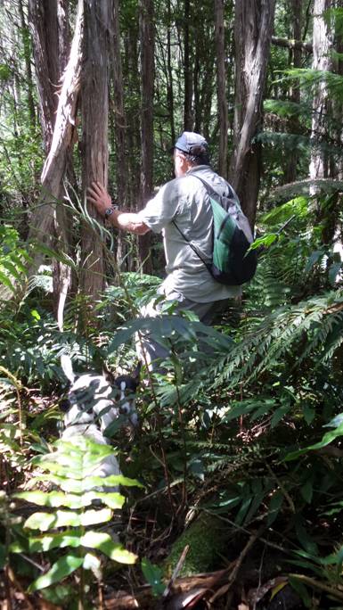
The ever-faithful companions enjoyed the jungle
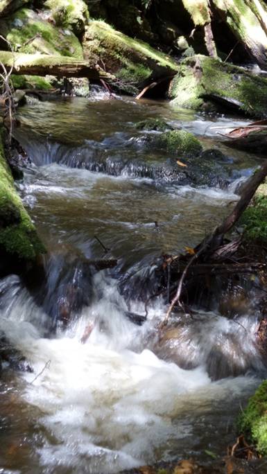

20/01/2014: Upper Yarra Track Update: After camping the night in the Block 10 Rd (Toorongo), we headed off along Newlands Rd towards Mt Whitelaw Hut (ruins) to investigate the section of the Upper Yarra Track which we wanted to ascertain was ‘clear’. This road is pretty much the most beautiful road in Victoria: an easy and pleasant walk (turn back when you feel like it, or camp out in a sunny spot somewhere on the many crossings of the diminutive Thomson River, or at the trout-filled dam just off it to the North about two km in). We lunched at the spot where the track diverges from the road, Frangipani Saddle under the excellent shelter of a giant myrtle beech. It is approx an 8 km walk from the gate to this spot. It is another 3km (according to the signpost) to the intersection with the Alpine Walking Track along the top of the Baw Baws, and a further approx 2 km (East) to the Whitelaw Hut ruins (chimney and foundation), a good camping spot with water. The track leading from the Saddle is a little overgrown but easy enough to follow as there is a gap between the trees – and others have clearly walked it (albeit irregularly). Unfortunately some distance up the ridge above the Frangipani Saddle we encountered blizzard-like conditions. Della started to become very cold (and wet) so we decided to turn back and returned to the car, somewhat wearied after an approx 18-20 km walk!

Tiny was cold and tired

Start
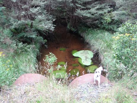

Many large granite tors are a feature of the Baw Baws. This is a small one.
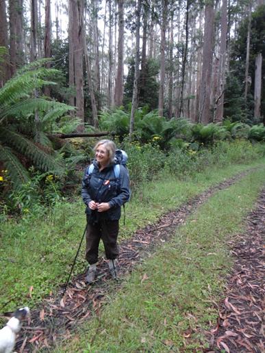
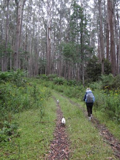
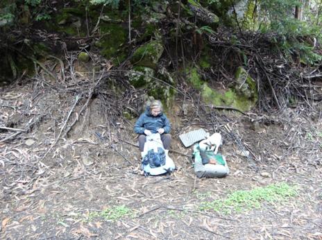
Lunch: Frangipani Saddle
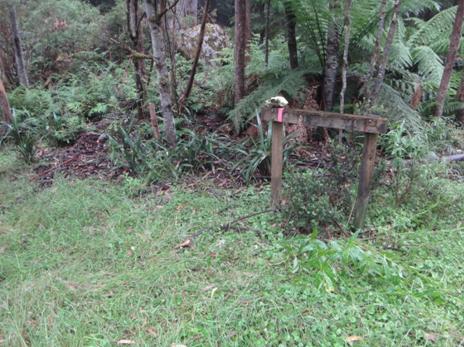
Frangipani Saddle. Sign reads AWT 3km thataway! Skull of lost walker...

20/01/2014: OUR LARGEST TREES: You may not know that the tallest
trees ever measured on earth were NOT Californian Redwoods, but Victorian
Mountain Ash. The greatest of them was (maybe) the Cornthwaite Tree (near
Thorpdale) which measured 114 metres -375’ (on the ground!). There is a 1/10
scale model on the site! Think of THAT! ‘The world’s tallest tree ever recorded
was a fallen Eucalyptus regnans tree measured at 133m at Watts River, Victoria,
in 1872 (Carder 1995). The tree, reported by William Ferguson, had a broken top
and the entire tree was estimated to have once been over 500 feet (152 m)
tall’. (http://www.forestrytas.com.au/uploads/File/tasfor/tasforests_12/tasfor_12_09.pdf)
Locally (
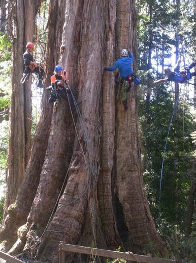
15/01/2014:
Upper Yarra Track: Thomas Osburg has some wonderful resources about this track
and other
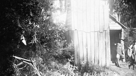
There you will also find reports of a 1928 expedition (with lots of interesting photos): http://www.yarrarangesbushcamp.com/warburton-to-walhalla-1928-easter-expedition.html
Also see some interesting photos of the “O’Shannassy Aqueduct Trail which (I believe) forms an alternative walk to part of the Warburton-Lilydale Rail Trail (to Millgrove at least) : http://www.yarrarangesbushcamp.com/oshannassy-aqueduct.html (& also see: http://parkweb.vic.gov.au/explore/parks/yarra-ranges-national-park/things-to-do/oshannessy-aqueduct-trail)
He has HUNDREDS of enchanting historical photographs, eg here: http://www.yarrarangesbushcamp.com/historic-photographs-yarra-ranges-national-park.html
also
this excellent sketch map of the
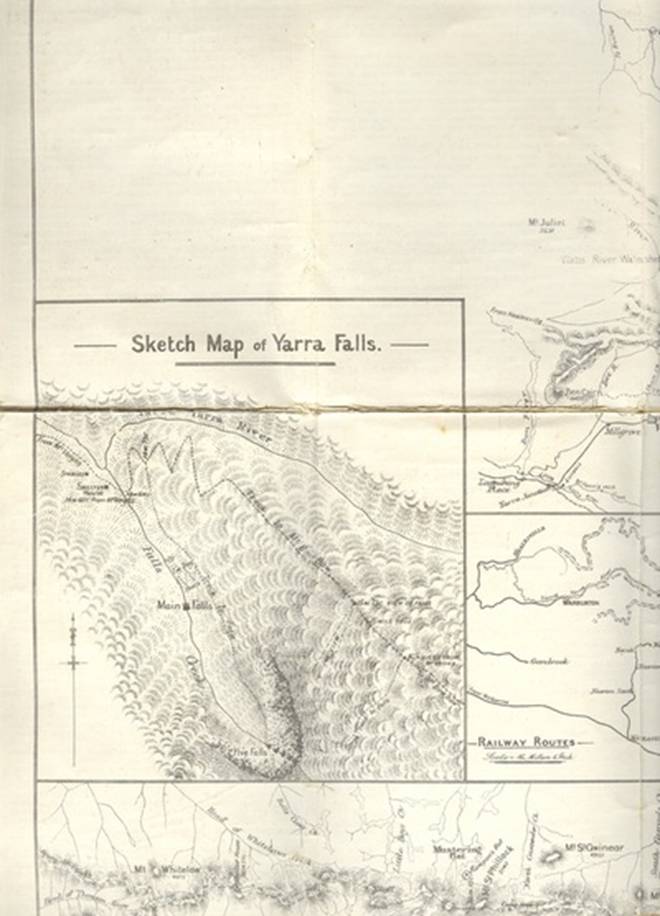
It
is approx .8 km from the Yarra Junction to the
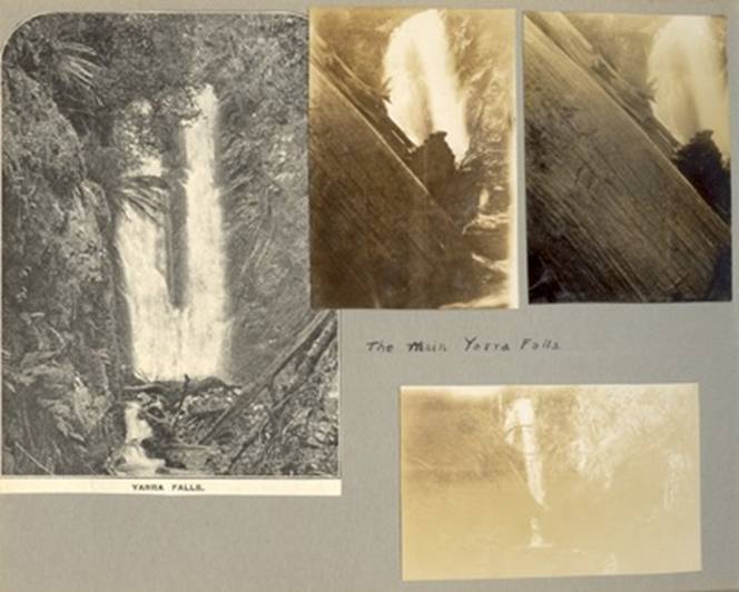
As well there is an excellent facsimile (mentioned elsewhere) of Dr Annie Hoffa’s account of her 1928 walk along the track (‘The Real Thing’): http://www.yarrarangesbushcamp.com/dr-annie-yoffas-1928-walk-from-warburton-to-walhalla.html
11/1/2014: Ada Tree Loop Walk (approx four days). I notice you can
walk out of Warburton on the Upper Yarra Track (aka Walk into History). Take
approx two days to reach the Ada Tree Reserve. You can walk back via
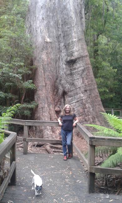
08/01/2015: Yesterday in the heat we took a break to explore
the Upper Latrobe again during the afternoon – it’s THAT close! There is a
wonderful campsite down a ferny 4WD track off
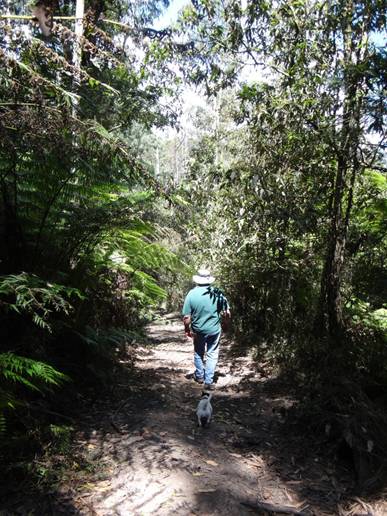
Ferny
Track near the end of
Fantail:
Ferny Track near the end of
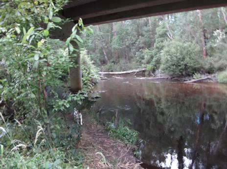
Under
the
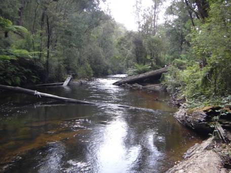
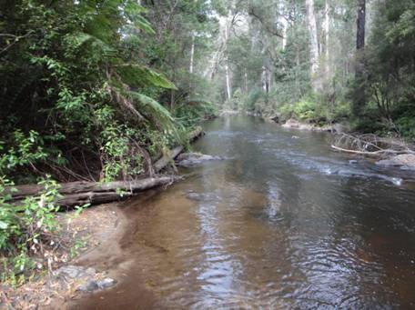
04/01/2015: Yesterday we continued our
reconnaissance of Trafalgar/Noojee’s ‘Little India’, a peninsula of forest
which hangs down from the mountains into the lush Gippsland farmland along the
upper
04/01/2015: The Moe-Yallourn Rail Trail is a great intro to Gippsland hiking. There
are no signs at either of its ends! We spent some time yesterday exploring…300
metres East of Moe Railway Station you start on this trail (a little gravel
track at the corner of Bennet St & Narracan Drive (50 metres east of that
awful roundabout/railway bridge). Why the trail has been allowed to overgrow
UNDER that bridge IS a mystery: the old line clearly continues to the station
car park, but…Latrobe Shire!). You set foot on it, and suddenly you are in the
country (shee not 300 metres from Moe railway ststaion!) 8.5 km later you exit
it amid a park full of ancient pine trees right on the Latrobe River bank
(campsites) right beneath Yallourn PS’s majestic cooling towers. Cross the
river on the bridge, turn East onto the
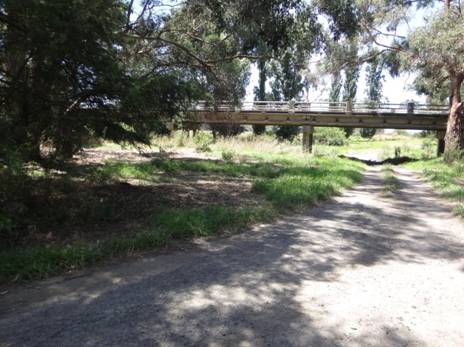
Tom's Bridge,
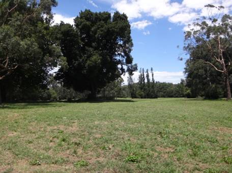
Sandbanks Reserve,
02/01/2015: Upper Yarra Walking Track UPDATE: I
now see we are going to be able to make this great track (
28/12/2014: WAR ON
CAMPERS: As we returned from our foray to the Upper Yarra Track on Xmas Day we
cut down through a long sub-continental-shaped ‘tongue’ of forest which hangs
down East of Noojee pointing towards Trafalgar along the Upper Latrobe River
(Note to self to investigate canoeing that particular stretch of river). We
passed through/by the ‘Hawthorn Bridge Camping Area’ which had recently been laid waste by our
(DSE/ParksVic) lords and mistresses using excavators to turn the previously
beautiful camp grounds on the river flats into something resembling the surface
of the moon (so there is now no level spot to erect a tent or drive a car) and
now designated with signs as a ‘Revegetation’ area, (presumably largely by
blackberries) etc. It still shocks and saddens me to see further evidence of
this green totalitarianism. I know it began immediately emerald folks gained
control (c 1983) of what were (then) Depts of Lands, Forestry, Mining etc and
morphed them into Depts of Conservation, Environment, Sustainability etc. I
recall (eg) areas along the Mitta (between the ‘Blue Duck’ (Anglers’ Rest)
&
26/12/2014: The things you see when you
haven’t got a shovel! We ventured off yesterday on an exploratory trip to see
the ‘lost’
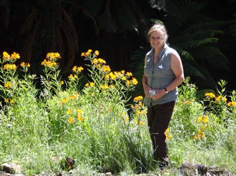
13/12/2014: Australian Alps Walking Track: 4 Days: Walhalla to Stronach’s Camp (Description):
12/12/2014: Upper Yarra Track: Some History: http://parkweb.vic.gov.au/…/pdf_file/0017/313181/22_2158.pdf
11/12/2014: Upper Yarra Track: A Rare Treat: in digital form a facsimile of Annie Hoffa’s 1929 book, ‘The Real Thing, Adventures in the Australian Bush’ detailing her 1928 solo walk from Walhalla to Warburton. Sadly, Dr Yoffa was murdered by a madman (whose name weirdly enough was also Jones – NO relation!) in 1959: http://www.yarrarangesbushcamp.com/dr-annie-yoffas-1928-walk-from-warburton-to-walhalla.html
10/12/2014: Upper Yarra Track: The
‘Lost’ Yarra Falls allegedly
09/12/2014: Upper Yarra Track: Zoomable map of 1907 Route: http://www.nla.gov.au/apps/cdview/?pi=nla.map-rm2301-sd&rgn=0.1647354460,0.0000000000,0.8348457350,0.9991673605&width=1200&cmd=zoomout You could, I suspect trespass your way much of the ‘route’ if you didn’t mind a tad of ‘bush-bashing.’ One thing you could certainly do would be to walk the 800 metres down off the ‘Forty Mile Break Road’ to have a look at the quite spectacular ‘Yarra Falls’ (as this guy did: http://archive.bigben.id.au/victoria/melb/yarra_falls.html) :
![[ melb070 ]](THE%20UPPER%20YARRA%20WALKING%20TRACK_files/image051.jpg)
05/12/2014: Upper Yarra Walking
Track: update 2: I suggest you spend a weekend first checking it out, as
follows: Drive to Walhalla; after you have looked around there, go back to
Rawson, then North to the Mt Erica/Mushroom Rocks Rd (off the Thompson Valley
Rd North of Rawson). Take a walk all the way to
05/12/2014:
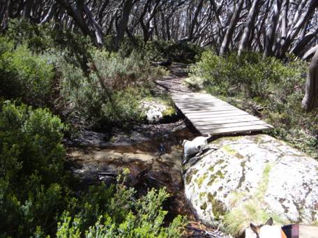
Australian Alps Walking Track near
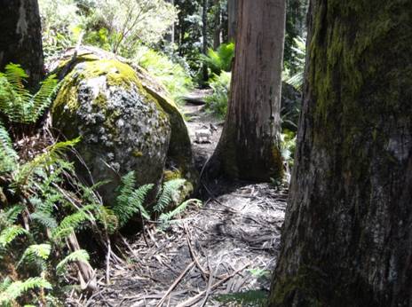
Australian Alps Walking Track near Mushroom Rocks car park.
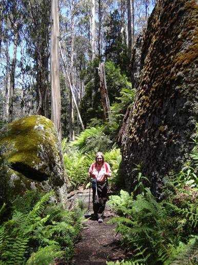
Australian Alps Walking Track near Mushroom Rocks.
04/12/2014: The Upper Yarra Walking
Track (82 km) which extends from Warburton to Walhalla is
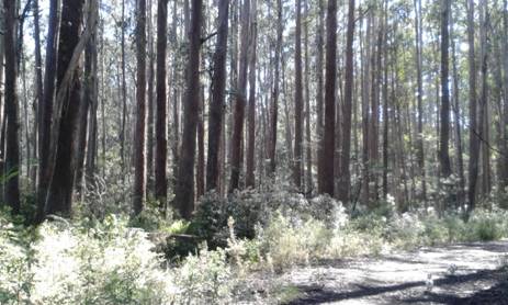
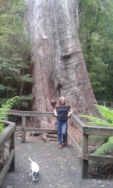
The Ada Tree off
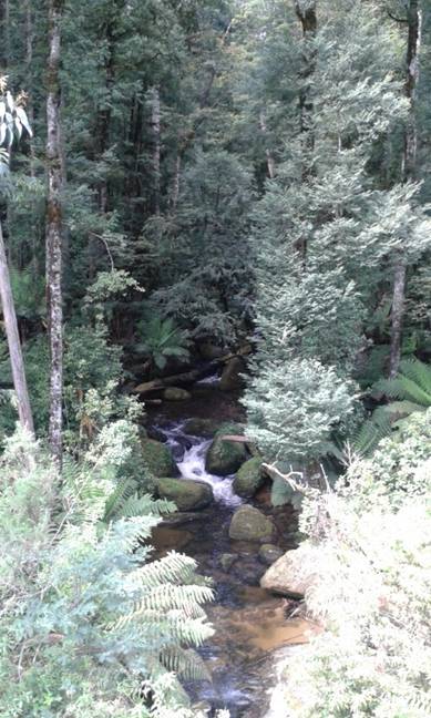
The new
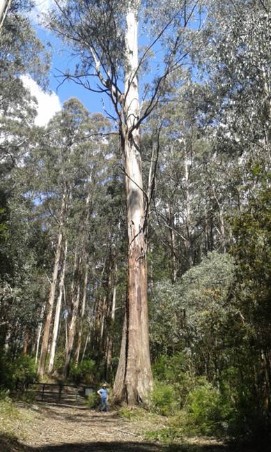
Still some great timber around: 1939
regrowth! — at M15 Track off
03/12/2014: Della: Day 3 of our
reconnaissance of the Upper Yarra walking track: We cannot believe that such an
outstandingly beautiful area lies so close to home and, even more amazingly, so
close to
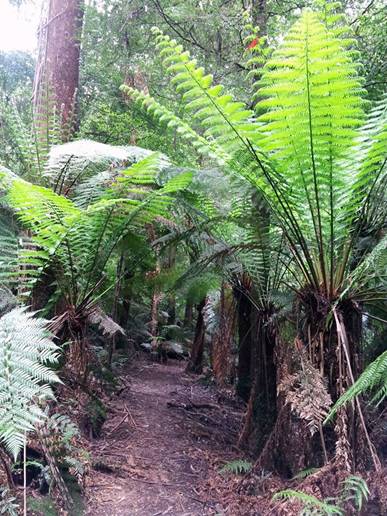
Ada Tree Rainforest Walk near Noojee
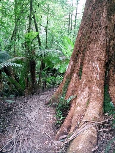
Ada Tree Rainforest Walk near Noojee
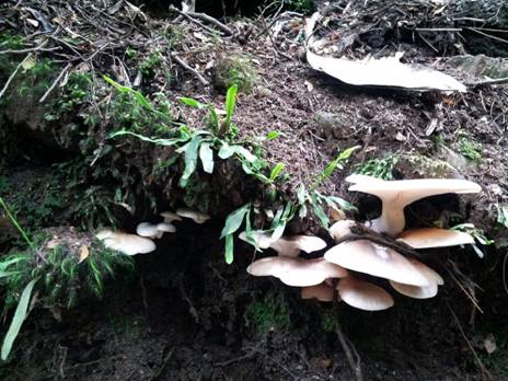
Ada Tree Rainforest Walk near Noojee
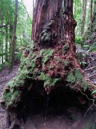
Ada Tree Rainforest Walk near Noojee
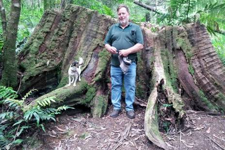
Ada Tree Rainforest Walk near Noojee
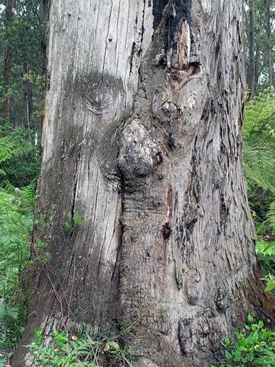
Ent:
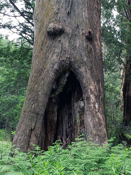
Ent:
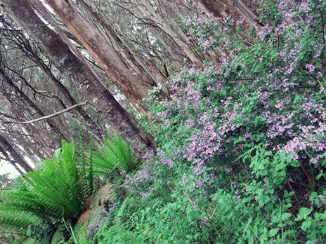
Prostanthera looking fabulous at the summit of Mt Horsefall
02/12/2014: Della: Checking out the
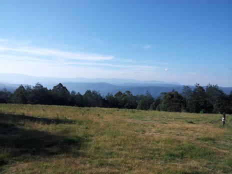
View from Mt Horsefall across the
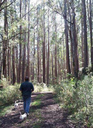
Newlands Track near Toorongo
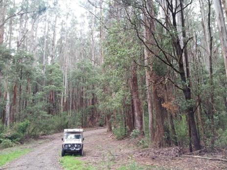

Myrtle Beech
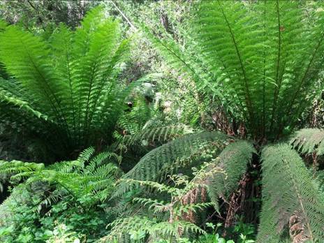
Tree Ferns
Spot eager to be gone
Camp in the Mist Block 10 Rd near Toorongo
29/11/2014: These 25K Vicmaps are GREAT and value @ $8 ea: http://services.land.vic.gov.au/maps/content/topo30wizard They can be viewed with full georeferenceing functionality (ie GPS, etc) with this great App on your phone, tablet etc: http://www.avenza.com/pdf-maps
You need never get lost and can safely plan your next adventure, eg to walk the ‘Upper Yarra Trail’ from Warburton to Walhalla 82 km (in which case you would need Neerim North 25k_T8022-2-N, Noojee North 25k_T8122-3-N, Walhalla North 25k_T8122-2-N & Walhalla South 25k_T8122-2-S). This trail should be a great treat in the warmer weather if you have 4-6 days, but you can do it in @ two day sections: eg the Baw Baw Plateau is magnificent (and @ 10C cooler than Melbourne).
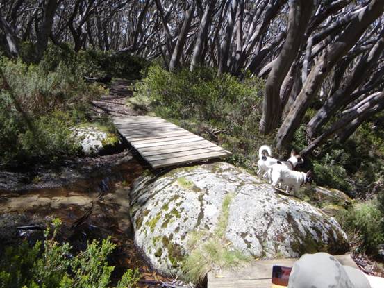
Talbot Peak: where this stream on the top of the mountain comes from is a mystery...
